Riviera di Ponente › Riviera delle Palme
Noli
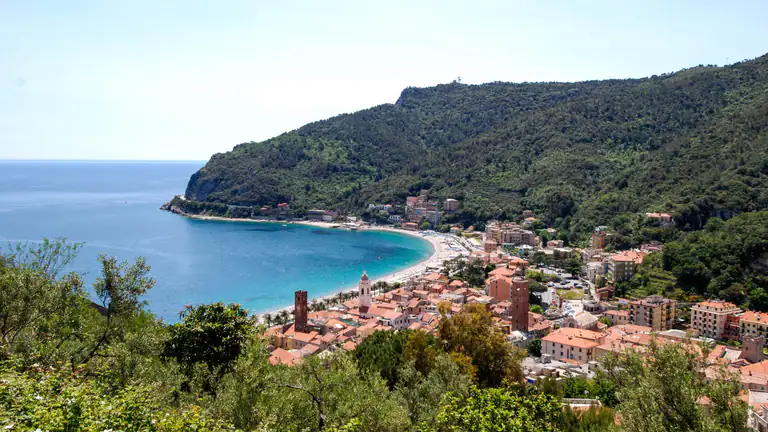
The old maritime republic between Spotorno and Capo Noli: medieval towers, San Paragorio, Monte Ursino castle, a fishermen's beach and…
Discover →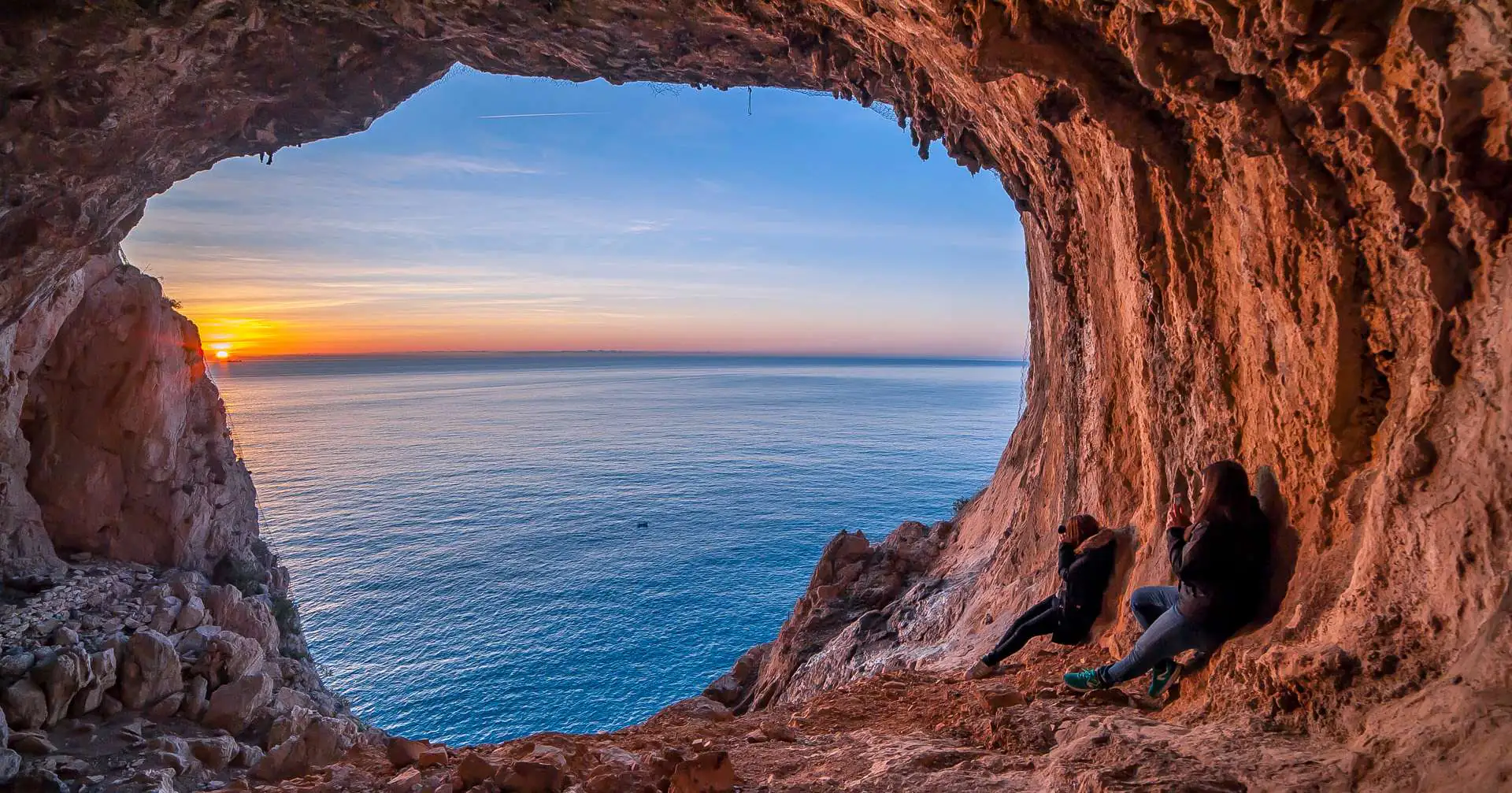
Noli to Varigotti over Capo Noli: Grotta dei Falsari, the Semaforo, the witches' tower. Official times, short variations, parking and the bus back.
The Pilgrim’s Path (Sentiero del Pellegrino) links Noli and Varigotti over Capo Noli, the headland of Mediterranean scrub and sea cliffs between the two bays. It is the best-known walk on this stretch of the Riviera: sea views the whole way, the Grotta dei Falsari cave opening onto the void, ruined chapels and the Torre delle Streghe. This guide follows the route from the Noli side, using the times from the town council’s official trail booklet, plus shorter variations.
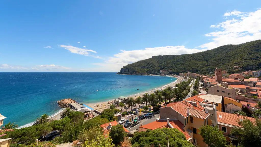
In Noli’s trail booklet this section is path no. 1. It starts on Via XXV Aprile, near Piazza Monsignor Vivaldo, where there are paid car parks and a few free spaces. The first ten minutes are the hardest: an old mule track climbs steeply above the village. Then the path levels out, passes the remains of the old quarantine station (lazzaretto) and crosses a stream.
After about a quarter of an hour among terraces you reach the ruins of the chapel of Santa Margherita, also called Santa Giulia: an information panel tells its story, and the view over the bay of Noli is already wide. The path continues on a dirt track: at the first hairpin bend is the turn-off for the Grotta dei Falsari. Three more bends, about half an hour in total, bring you to the Semaforo, the old signal station on top of the headland.
This section climbs about 270 metres. The council gives one hour of walking, not counting stops or the cave.
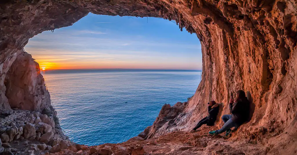
This is the most photographed spot on the route: a huge opening in the rock, like a window thrown open onto the sea. It was carved by sea erosion when the water level was much higher. Its name, “forgers’ cave”, and its other name, Grotta dei Briganti, come from the tradition that smugglers used it as a hiding place.
From the turn-off on path no. 1 you go down in a few minutes; allow about 100 metres of extra ascent there and back. Inside the cave the edge is a sheer drop: stay well back, especially with children, and do not lean out for a photo.
There is also an approach from below, path no. 2. It starts just beyond the Capo Noli road tunnel, heading towards Varigotti, next to a large niche in the rock and a rockfall net. About 15 minutes of steep zigzags take you to the cave, and another 10 minutes join path no. 1. It is graded EE: slippery ground and exposed sections. If you are not used to this kind of terrain, climb from Noli instead.
From the Semaforo walk about a hundred metres along the dirt road and turn left: in 10 minutes you reach the Torre delle Streghe, the “witches’ tower”, an old stone tower on the ridge. Just beyond is a rocky viewpoint looking down on Malpasso beach and the coast towards Varigotti. This short section, path no. 3, is part of the Pilgrim’s Path.
If you don’t want to go down to Varigotti, you can make a loop: head back to the dirt road, close the circuit at the Semaforo and descend to Noli the same way, or via the “Amico Sentiero” (no. 5), which passes the little Romanesque church of San Michele.
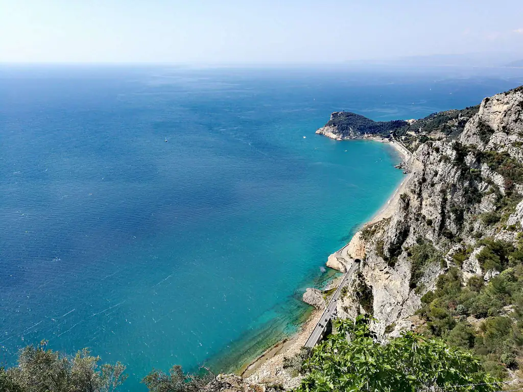
From the Torre delle Streghe the Pilgrim’s Path drops towards Varigotti through pines, olive trees and dry-stone walls, waymarked with a red X. Above the village you pass close to the church of San Lorenzo, with views of Punta Crena and the Baia dei Saraceni. This descent is steep and stony: walkers starting from Varigotti tackle it uphill at the start, which is why many prefer to walk from Noli.
In Varigotti the beach and the colourful seafront houses are waiting. To get back to Noli take a TPL Linea bus on the Aurelia: check times on TPL Linea, especially outside summer.
For the village, the beaches and how to get there, see our guide to Noli.
Nearby
Riviera di Ponente › Riviera delle Palme
The old maritime republic between Spotorno and Capo Noli: medieval towers, San Paragorio, Monte Ursino castle, a fishermen's beach and…
Discover →