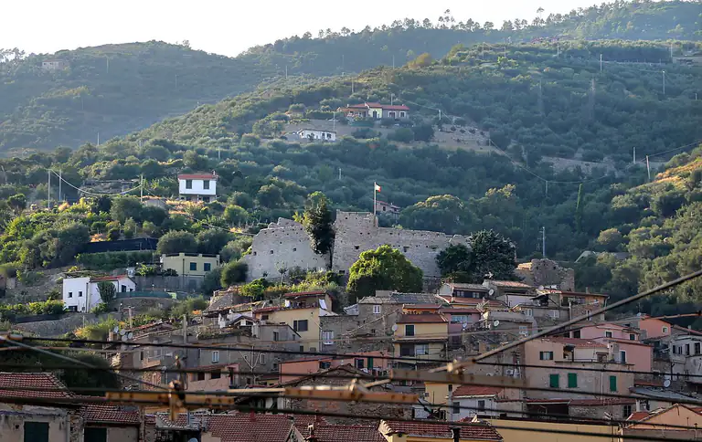
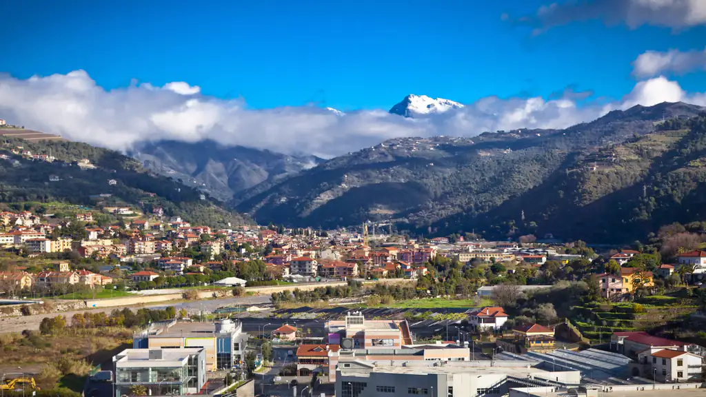
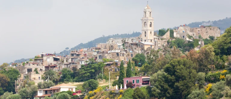
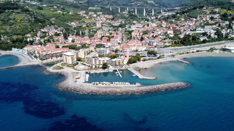
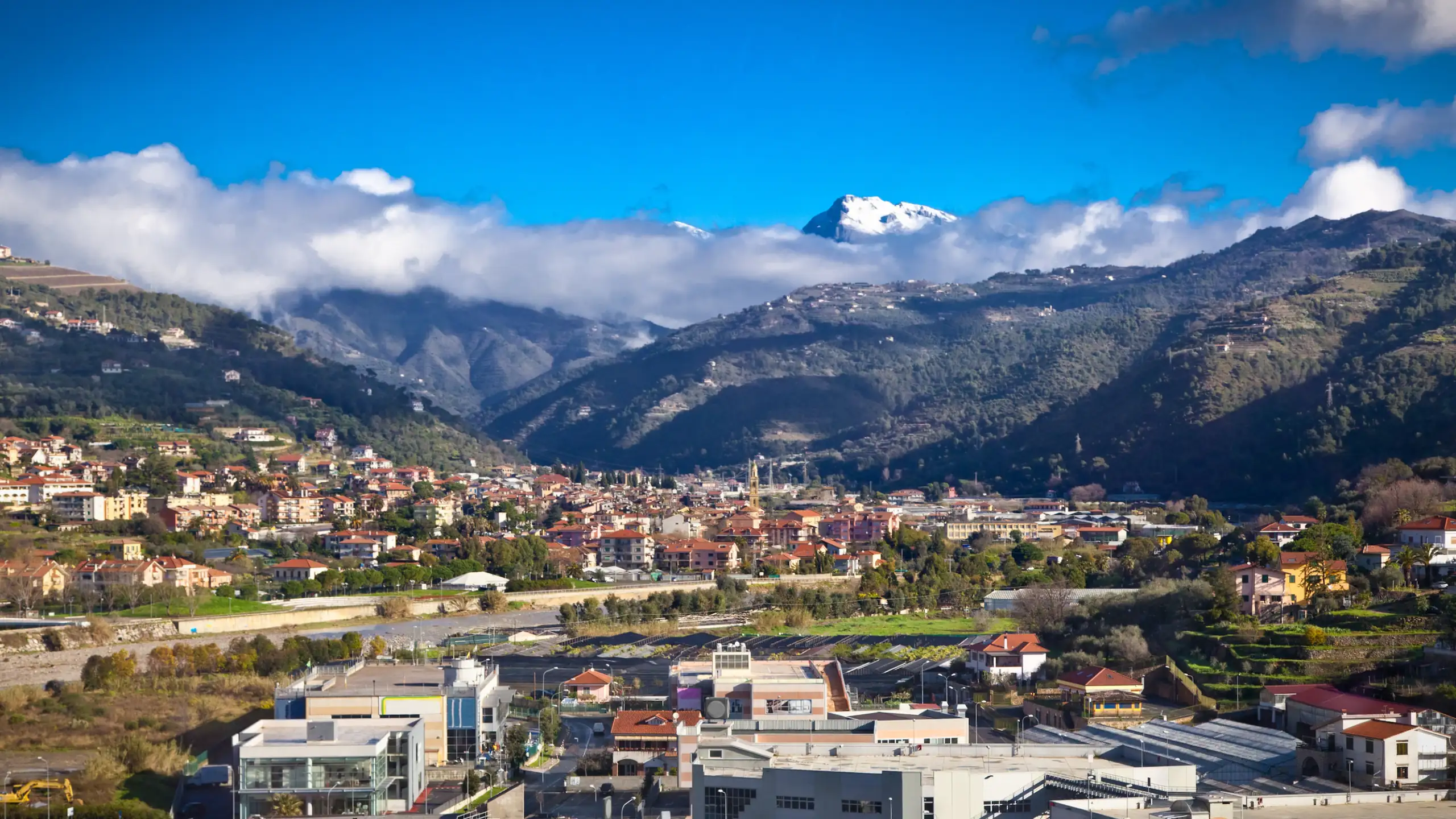
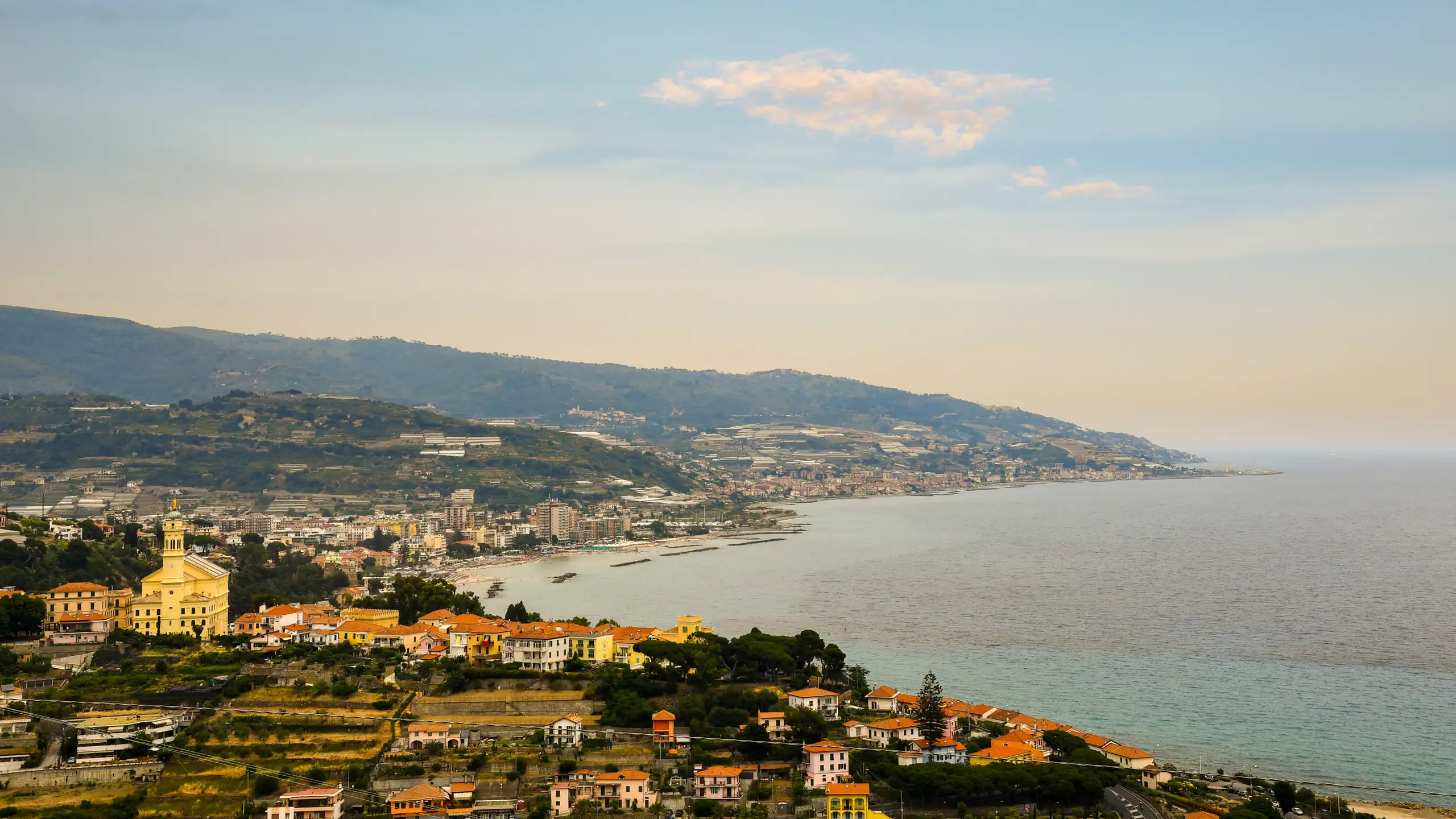
The Arma di Taggia coast seen from the hill

Arma di Taggia

Blue Flag 2026 sandy beach, the cave of the Madonna dell'Arma, the cycle path and the medieval centre of Taggia with its bridge and San Domenico.

The Arma di Taggia coast seen from the hill
Area
Riviera dei FioriRiviera di Ponente · Province of Imperia
Ideal for
Families with childrencycle tourists and anyone wanting sea plus a historic village
Beaches
Blue Flag 2026 (first time)pale sand, shallow water at the Fortezza
Best time to go
June to September for the seaspring and autumn for Taggia and the valley
By train
Taggia-Arma station: Sanremo 4–8 minutesImperia 8–14, Genoa about 2 hours
By car
A10, Arma di Taggia exitSP548 to Taggia old town
Airport
Nice Côte d'Azur (about 71 km)about 1 hour by car
How long to stay
1–2 daysa week as a base for the sea and the Argentina valley

Welcome to Arma di Taggia

Blue Flag beaches and a seaside cycle path

Arma di Taggia is the seaside part of the municipality of Taggia, on the Riviera dei Fiori, a few kilometres east of Sanremo. It has a long beach of pale sand, something rare on this stretch of Liguria, a seafront promenade running from the cave of the Madonna dell’Arma to the small marina, and a cycle and pedestrian path built on the old railway line. In 2026 it was awarded the Blue Flag for the first time.

Behind it, a few kilometres up the Argentina valley, lies Taggia: a medieval old town enclosed by 16th-century walls, with arcades paved in black slate, the long arched bridge over the river and the convent of San Domenico, which holds paintings by Ludovico Brea and an Adoration of the Magi by Parmigianino. Between the two is Levà, the modern district where the town hall offices are. The whole municipality has about fourteen thousand inhabitants.

The name Arma comes from the Ligurian word for a cave, the one of the Madonna dell’Arma at the western end of the promenade. Taggia, on the other hand, comes from “Tabia”, the hilltop village where people from the coast took refuge in the early Middle Ages. It also gives its name to the taggiasca olive, the most famous variety in Liguria. Arma is a convenient base for a beach holiday with children, for exploring the Riviera by bike or train and for heading up to the villages of the Argentina valley.

Where is Arma di Taggia?

Arma di Taggia is in Liguria (Riviera di Ponente, Riviera dei Fiori, province of Imperia).

Map: where Arma di Taggia is in LiguriaPIEDMONTLOMBARDYEMILIA-ROMAGNATUSCANYFRANCERIVIERA DI PONENTERIVIERA DI LEVANTELIGURIAN SEASavonaImperiaSanremoLa SpeziaArma di Taggia
Boundaries: ISTAT, Natural Earth · Interactive map →

What to see

What to see in Arma di Taggia

In Arma you stroll along the promenade and go to the beach; for the monuments you head up to Taggia by car, bus or bike. One day is enough to see both at an easy pace.

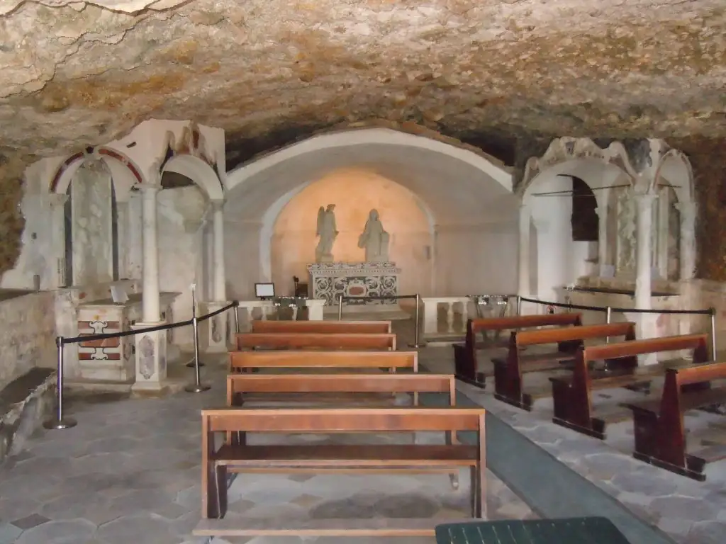
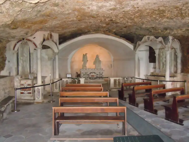
Inside the Grotto of the Madonna dell'Arma

Grotta della Madonna dell'Arma

At the western end of the promenade, on the border with Sanremo, is the cave that gave Arma its name. Excavations here uncovered important prehistoric remains, now on display at the Museo Civico in Sanremo. In the Middle Ages it was home to monks: a document from 1192 mentions the convent of nuns of Santa Maria delle Armi.

Inside the cave is the church of the Annunziata, which according to tradition was built after the Virgin appeared to a young shepherdess. It is still a place of deep devotion: go in quietly, especially during services.

La Fortezza di Arma

Next to the cave stands the Fortezza, built in 1565 when the Republic of Genoa strengthened its coastal defences against Barbary pirates. It is the emblem of the promenade and gives its name to the beach in front of it. You admire it from the outside, while walking or from the beach.

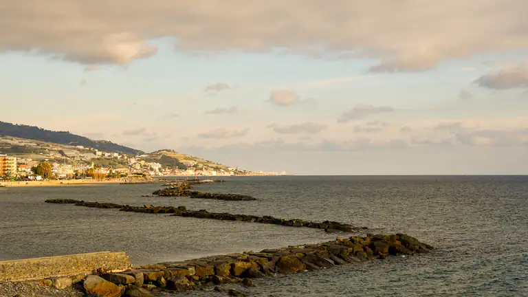
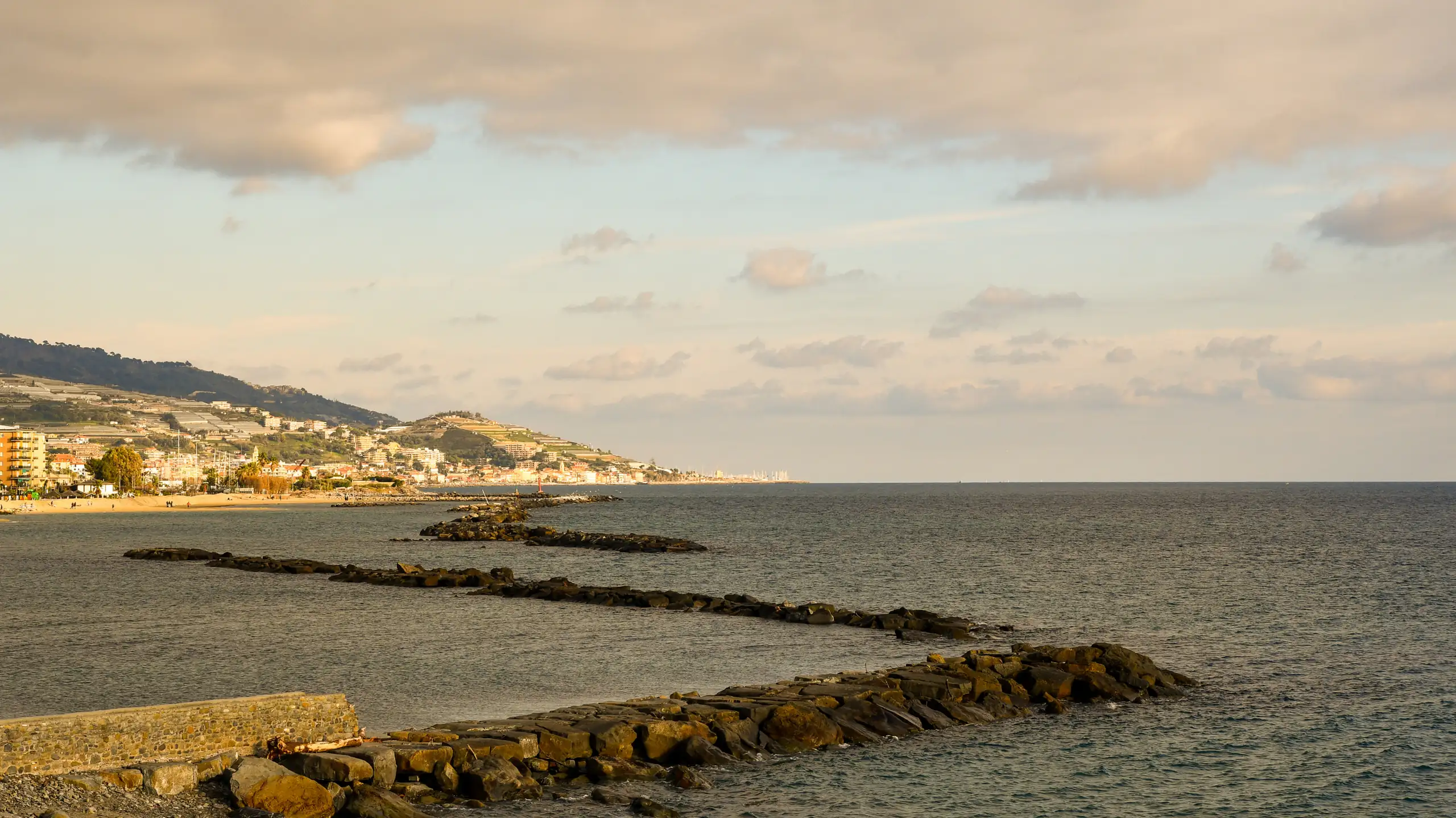
Rocky shore and sea at Arma di Taggia

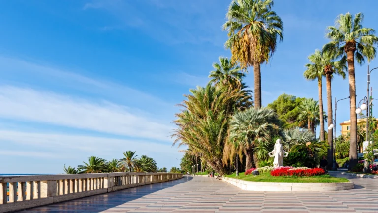
The promenade and piazza Chierotti

The seafront promenade links the cave and the Fortezza to the small marina, past beach clubs, bars and restaurants. Halfway along is piazza Tiziano Chierotti, opened in 2013, which joins the old fishing village to the newer part of town and hosts summer concerts and shows. In the evening it is Arma’s meeting point.

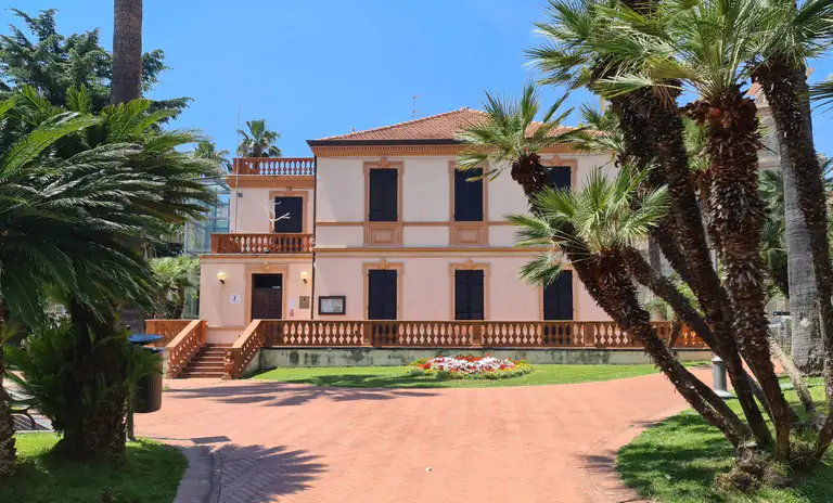
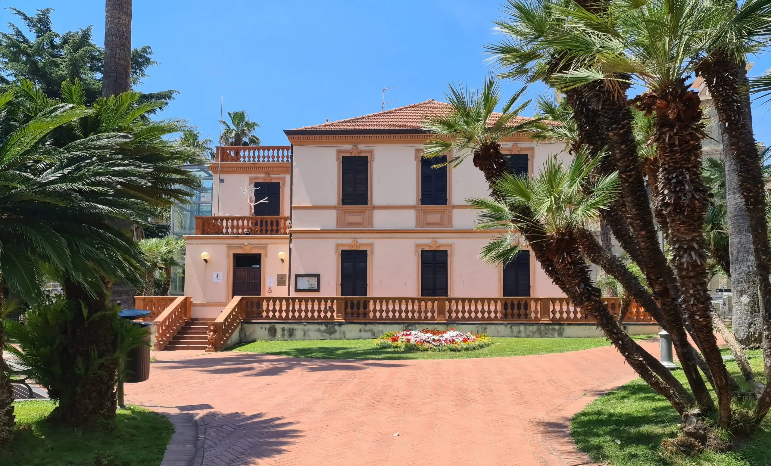
Villa Boselli among the palms in Taggia

Villa Boselli

The villa among the palm trees was commissioned in 1888 by the politician Paolo Boselli for his son Silvio. Today it is Arma’s cultural centre: it houses the public library and the tourist office, where you can ask for maps, the events programme and opening times for the museums in Taggia.

The churches of San Giuseppe and Sant'Antonio

The church of San Giuseppe, built from 1817 onwards, holds the statue of Sant’Erasmo, patron saint of seafarers, which is carried in procession on the last Sunday of July. The large church of Sant’Antonio was begun in 1903 for a growing community and became a parish in 1917.

The cycle and pedestrian path

Arma is crossed by the Riviera dei Fiori cycle and pedestrian path, laid out on the seaside route of the Genoa–Ventimiglia railway, which closed in 2001. Since June 2026 you can ride it without interruption for almost 48 kilometres between Ospedaletti and Andora. Heading west you reach Bussana and the beaches of Sanremo; heading east, Riva Ligure, Santo Stefano al Mare and San Lorenzo al Mare. It is flat, with one lane for bikes and one for pedestrians, and you can hire bikes along the way.

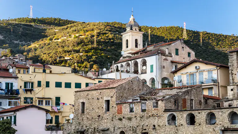
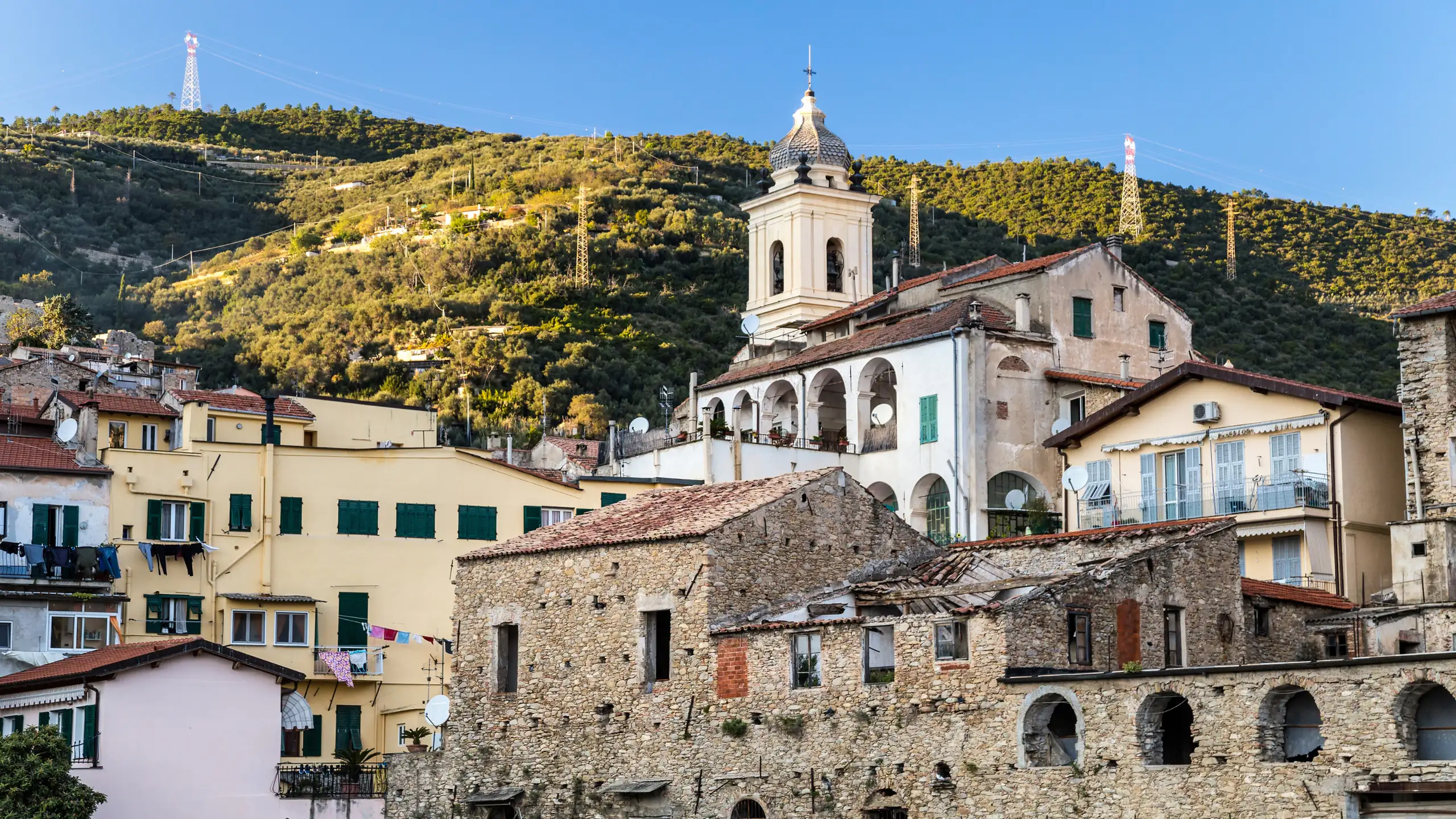
Taggia's old town with its bell tower

The old town of Taggia

The village stands on the right bank of the Argentina, protected by 16th-century walls with their old gates. Inside you will find noble palazzi from the 17th and 18th centuries, steep carruggi and the dark stone of slate, which is why Taggia is known as the city of slate. It is one of the old towns richest in art in western Liguria: the full walking route is in the guide to the old town of Taggia.

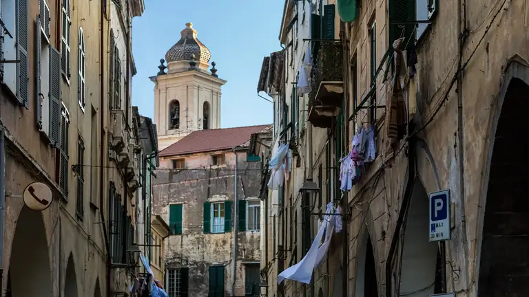
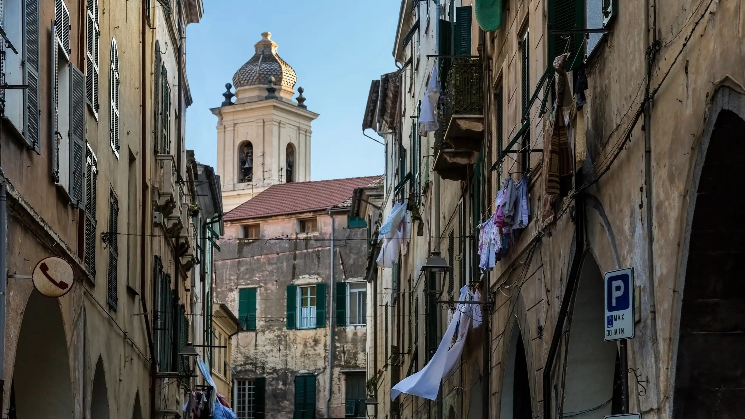
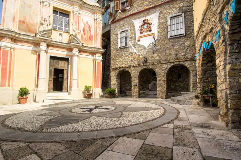
Alley with bell tower in Taggia's old town

Via Soleri, il Pantan

The main street of the old town is called via Soleri, but everyone knows it as the Pantan. It is lined with arcades paved with slabs of black slate and with historic palazzi. Walk its full length, then slip into the side alleys that climb towards the castle.

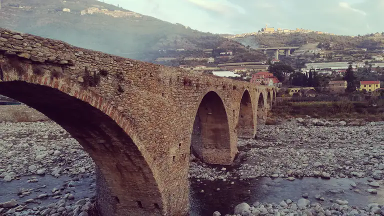
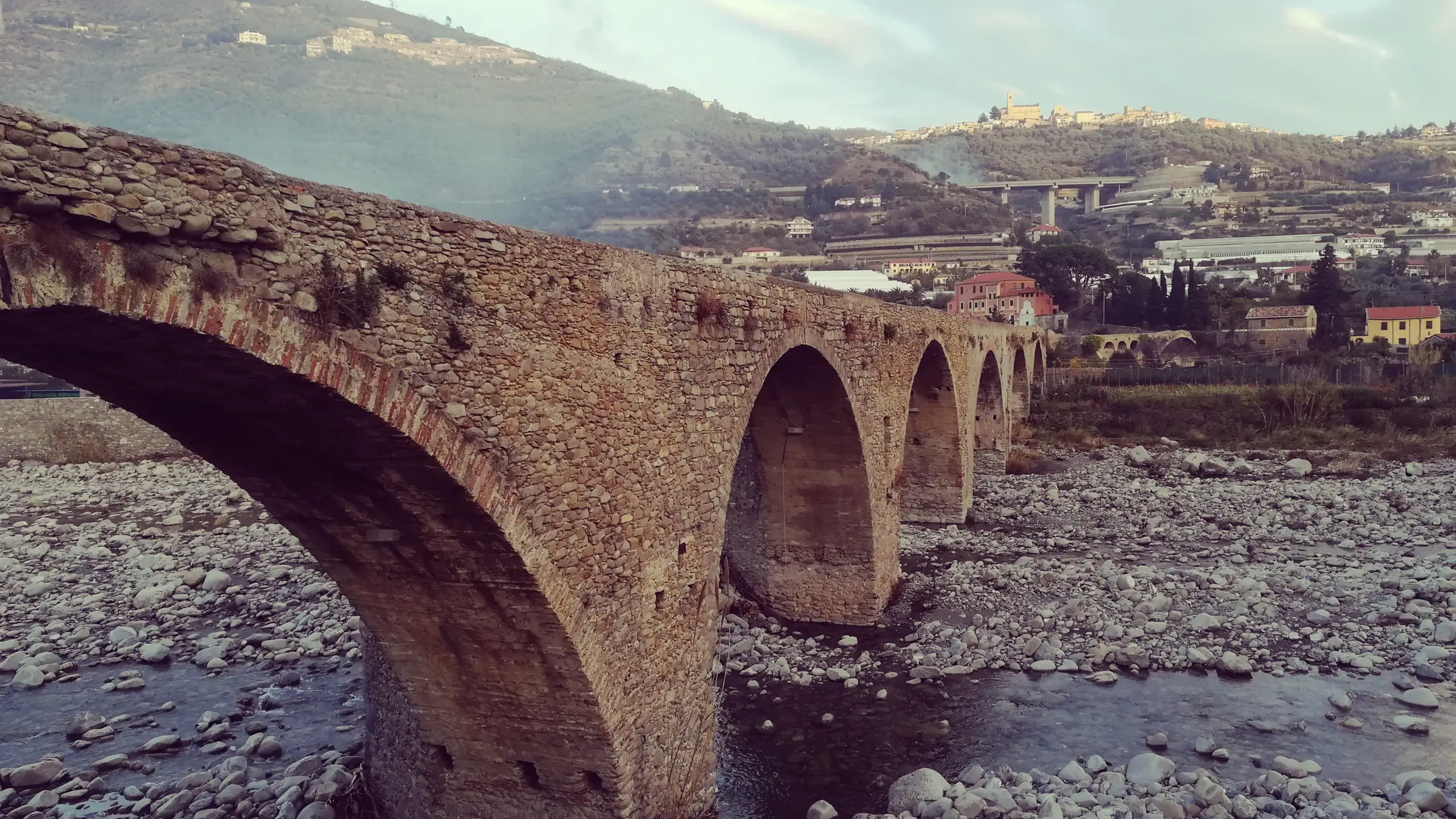
Medieval arched bridge of Taggia over the Argentina

Medieval bridge of Taggia

The bridge over the Argentina is the symbol of Taggia. About 260–270 metres long, it has around fifteen arches: the first two, Romanesque, date from the 13th century, while the others were added and rebuilt in later centuries. For centuries it was the only way between the coast and the valley. Cross it on foot: the best view of the village is from the opposite bank.

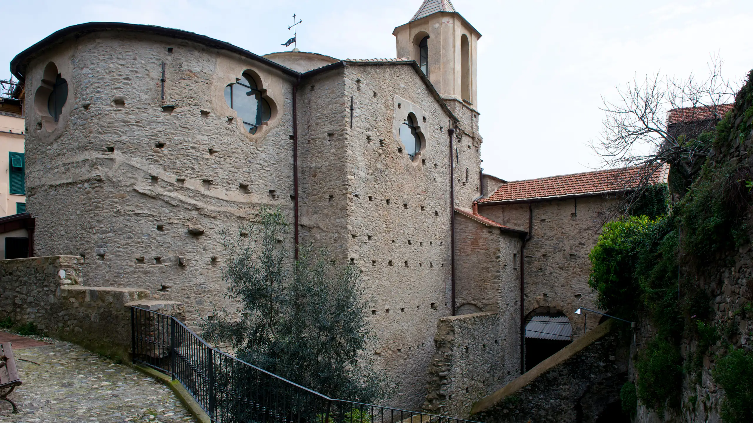
Stone church in Taggia's old town

Convent of San Domenico

Founded in 1460 by the Blessed Cristoforo da Milano and completed in 1490, the convent was for decades the centre of painting in western Liguria. It has a 15th-century cloister with black stone columns and a Gothic church holding polyptychs and frescoes by Ludovico Brea, the greatest of the “Nice primitives”, and works by Giovanni Canavesio. Its most precious piece is the Adoration of the Magi by Parmigianino, painted in 1528–29, stolen in 1994 and recovered in 2003.

Visits are often led by volunteers: check opening times at the tourist office before heading up.

Basilica dei Santi Giacomo e Filippo

Taggia’s main church, built between 1675 and 1681, is also the sanctuary of the Madonna Miracolosa: it holds a statue of the Immaculate Conception carved by Salvatore Revelli which in 1855, according to many witnesses, moved its eyes, an event the Church recognised as miraculous. Here you will also find the relics of San Benedetto Revelli, the town’s patron saint, and works by Luca Cambiaso and Francesco Brea.

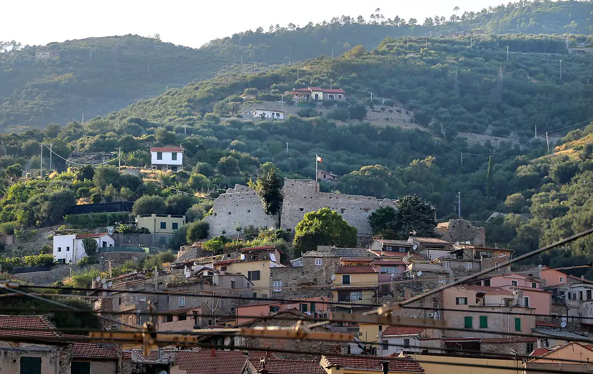
Taggia and the castle ruins on the hill

Castello di Taggia

At the top of the old town stand the ruins of the castle, built in the first centuries after the year 1000 and almost entirely rebuilt in the 16th century to defend the village from pirates. From up here you can see the rooftops of Taggia, the valley and the sea.

Nostra Signora del Canneto

Just outside the centre, the church of the Canneto is the oldest site in Taggia: it was founded in the 7th century by Columbanian monks, destroyed by the Saracens in 891 and rebuilt by the Benedictines around the year 1000. Inside are frescoes from 1547. Next to it is the historic olive grove planted by the Benedictine monks.

Sea

Beaches in Arma di Taggia

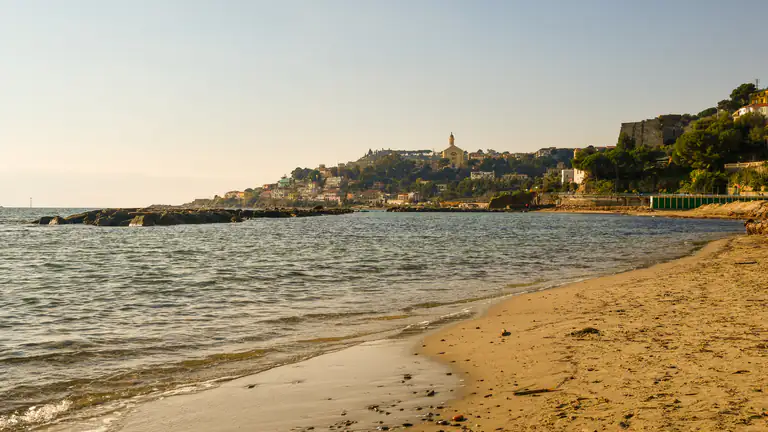
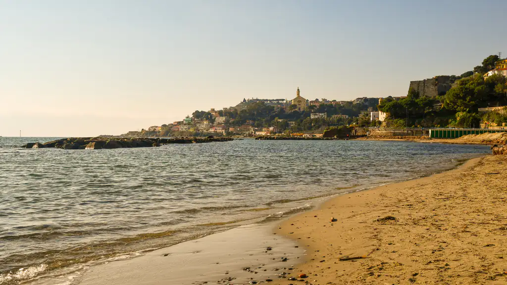
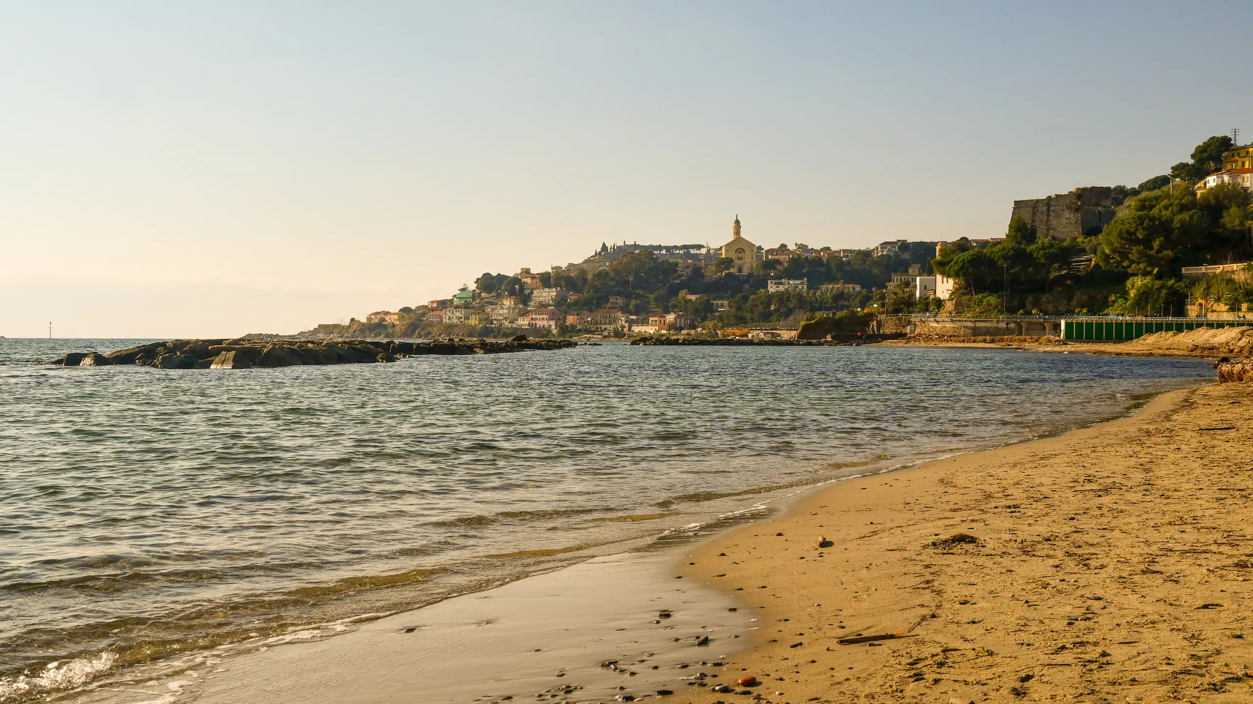
Arma has one of the longest sandy beaches on this part of the Riviera: over a kilometre of pale sand between the Fortezza and the marina, with beach clubs and a few free stretches. In 2026 the Arma di Taggia shoreline received the Blue Flag for the first time, one of two new Ligurian entries that year along with Andora.

Sandy beach at Arma di Taggia

Spiaggia della Fortezza

SandFamily friendly

The stretch in front of the Fortezza has a shallow, sandy seabed that slopes gently: it is the best choice for small children. It is also the closest to the cave and to the start of the cycle path.

The central shoreline

Beach clubs

Between piazza Chierotti and the harbour, one beach club follows another, with umbrellas, showers and bars. It is the most convenient stretch if you are staying in central Arma and want to mix the sea, the promenade and bars.

Towards Bussana and Sanremo

Pebbles

Beyond the cave, Sanremo’s territory begins, with the beach of Bussana, also a Blue Flag in 2026. You get there in a few minutes along the cycle path; here the beach is gravel and pebbles. For the other beaches in the area, read the guide to the beaches of Sanremo.

Sandy beach at Arma di Taggia

Where to stay

Where to stay in Arma di Taggia

Almost all the hotels, residences and holiday apartments are in Arma, between the promenade and the station: it is the most convenient area if you come for the sea, as you can walk to the beach and have the cycle path on your doorstep. The area around piazza Chierotti and the promenade is the liveliest in the evening.

If you are looking for peace and a village atmosphere, look at the houses and B&Bs in the old town of Taggia: the sea is a few minutes away by car. In July and August book well ahead, and the same goes for the weekend of the San Benedetto festival in February.

Getting there

How to get to Arma di Taggia and where to park

By car

On the A10 Genoa–Ventimiglia motorway, take the Arma di Taggia exit, at kilometre 128 from Genoa. The SP548 provincial road links Arma to the old town of Taggia via Levà. For Sanremo there is the Aurelia or the four-lane road running parallel to the coast.

By train

Taggia-Arma station, on the Genoa–Ventimiglia line, opened in 2001 when the railway was moved inland. Sanremo is 4–8 minutes away, Imperia 8–14, Ventimiglia 21–31. From Genova Piazza Principe the journey takes from 1 hour 45 minutes to just over 2 hours; from Milano Centrale there are a few direct trains, taking about 3 hours 40 minutes to 4 hours. Engineering works with replacement buses are planned on the line in autumn 2026: check the Trenitalia website before you travel.

By bus

Riviera Trasporti buses connect Arma with Sanremo, Ventimiglia and Imperia (about half an hour to Oneglia) and run up the Argentina valley as far as Triora, with a few services a day. Timetables and routes are on the Riviera Trasporti website.

By plane

The nearest airport is Nice Côte d’Azur, about 71 kilometres away: by car it takes just under an hour, by train about an hour and three quarters with a change at Ventimiglia.

Parking

In Arma there is an underground car park in the area of the old station, close to the sea and the cycle path. For parking on the promenade and in the town-centre streets, check the signs on site, as hours and charges change between summer and winter. In summer and at weekends the spaces near the beach fill up early: coming by train saves you the search. In Taggia, park outside the walls and explore the centre on foot. For up-to-date information, see the Comune di Taggia website.
Arma di Taggia43.8310, 7.8491
Open in Google Maps →Interactive map →

By car

A10, Arma di Taggia exit; SP548 to Taggia old town

By train

Taggia-Arma station: Sanremo 4–8 minutes, Imperia 8–14, Genoa about 2 hours

By plane

Nice Côte d'Azur (about 71 km); about 1 hour by car

The guide

Arma di Taggia in one day: an itinerary

  • Morning: head up to Taggia, cross the medieval bridge, visit the convent of San Domenico and walk the Pantan to the basilica.
  • Lunch: in the old town, with a dish made with taggiasca olives, or go back to Arma for fish.
  • Afternoon: the beach at the Fortezza, or a stretch of cycle path towards Bussana or San Lorenzo al Mare.
  • Evening: a walk from the cave of the Madonna dell’Arma to the marina and an aperitivo in piazza Chierotti.

With a second day, add Bussana Vecchia and a trip up the Argentina valley to Triora.

Food and drink in Arma di Taggia

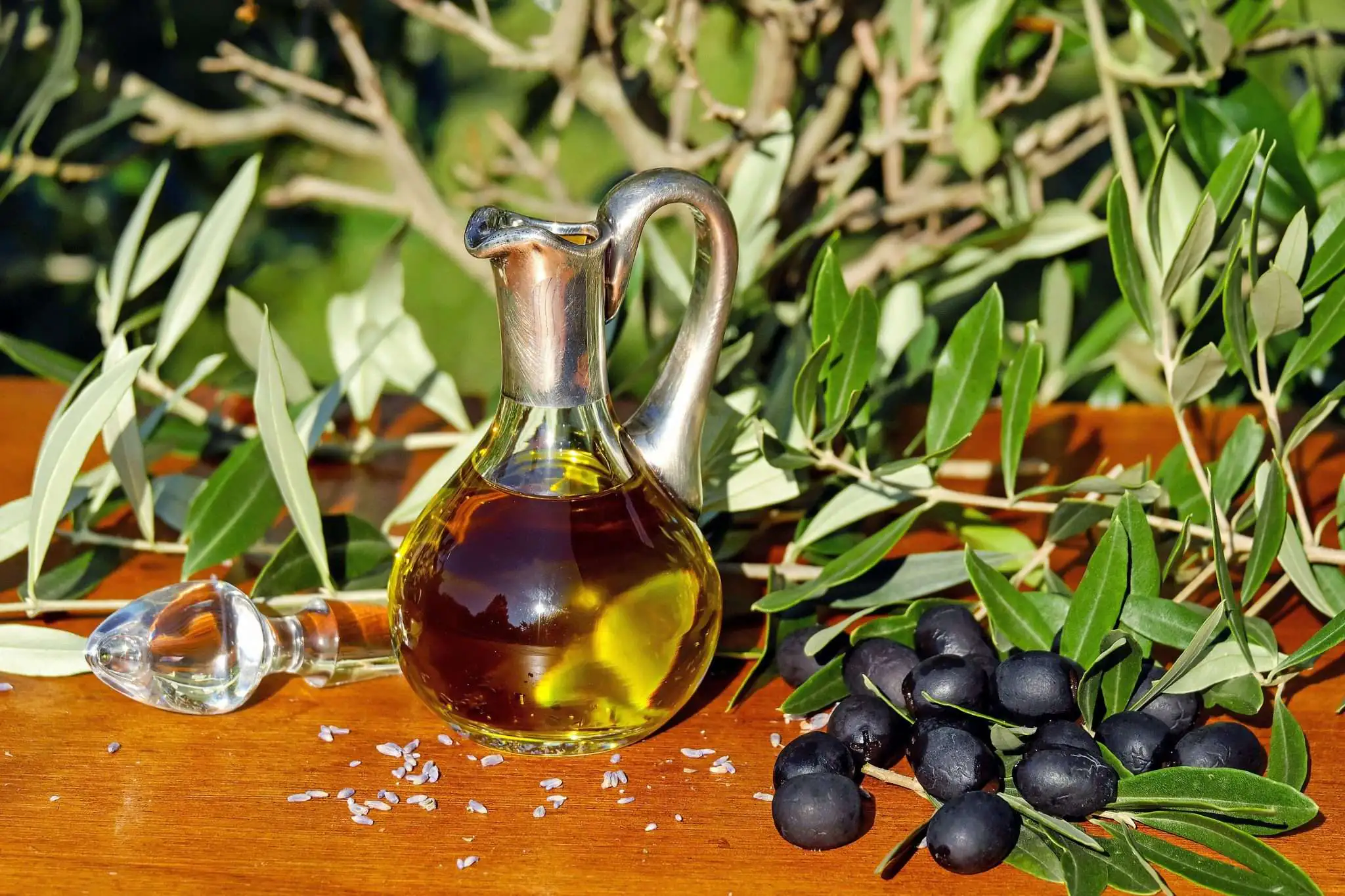
Extra virgin olive oil and Taggiasca olives

Taggia gave its name to the most famous olive in Liguria, the basis of the extra virgin olive oil of western Liguria and of many local dishes.

  • Taggiasca olives and oil: you find them in brine, as a paste and in the oil from the valley’s mills.
  • Canestrelli di Taggia: light, savoury biscuits made with taggiasca oil, perfect with an aperitivo. There is also a chocolate version.
  • Biscotti al finocchietto: traditional dry biscuits flavoured with fennel seeds.
  • Sardenaira and brandacujun: the focaccia with tomato, anchovies and olives, and the stockfish whipped with potatoes, dishes found all over western Liguria.
  • Moscatello di Taggia: a historic local wine, revived by a few local producers.

Events in Arma di Taggia and Taggia

  • Festa di San Benedetto e dei furgari (February): the patron saint’s festival has been celebrated since 1626, traditionally around the second Saturday of February. At night the carruggi fill with bonfires and “furgari”, bamboo canes packed with gunpowder; this is followed by a historical re-enactment with a procession of about 500 people in costume, craft markets and shows. Check the dates on the municipality’s website.
  • Sant’Erasmo (last Sunday of July): the festival of Arma’s seafarers, with the procession from the church of San Giuseppe.
  • Estate ad Arma (July and August): concerts, shows and evening events in piazza Chierotti and on the promenade.

Walks and hikes in the Argentina valley

Taggia and the Argentina valley with the mountains

Taggia is the gateway to the Argentina valley, which climbs towards the Ligurian Alps through olive groves, woods and stone villages. The highest point in the municipality is Monte Faudo, at 1,149 metres.

  • From Villa Curlo to the sea: a path starts from the 18th-century villa above Taggia and descends towards the coast.
  • Canneto olive groves: an easy walk from the old town to the church of the Canneto and the historic olive grove.
  • Triora: the village of witches lies at the head of the valley, about 30 kilometres away and just over half an hour by car.

Day trips from Arma di Taggia

  • Bussana Vecchia (a few kilometres towards Sanremo): the village destroyed by the 1887 earthquake and reborn as an artists’ village.
  • Sanremo (5 minutes by train): La Pigna, the Casino, the Russian Church and corso Matteotti.
  • San Lorenzo al Mare: by bike on the cycle path, via Riva Ligure and Santo Stefano al Mare.
  • Imperia (8–14 minutes by train): Porto Maurizio, the Parasio and Oneglia.
  • Triora (about 30 km, 35 minutes by car): the medieval village in the upper Argentina valley.
  • Bordighera and Dolceacqua: towards the border, for Bordighera Alta and the bridge painted by Monet.

Weather

Weather and best time to visit Arma di Taggia

June to September for the sea; spring and autumn for Taggia and the valley

⛅
20°CNow · wind 4 km/h
  1. Sat 10🌤️22° 15° 
  2. Sun 11⛅23° 14° 
  3. Mon 12🌤️25° 14° 
  4. Tue 13⛅22° 14° 
  5. Wed 14⛅21° 14° 
  6. Thu 15☀️24° 13° 

Forecast: MET Norway (Yr), CC BY 4.0 licence. Updated hourly.

Weather across Liguria →

MonthJanFebMarAprMayJunJulAugSepOctNovDec
SeaOff seasonOff seasonOff seasonOff seasonPossibleGoodIdealIdealIdealGoodOff seasonOff season
Sightseeing and hikingGoodGoodGoodIdealIdealGoodPossiblePossibleGoodIdealGoodGood
CrowdsFew peopleBusyFew peopleFew peopleFew peopleBusyVery busyVery busyBusyFew peopleFew peopleFew people
Don't missSan Benedetto and the furgariSant'Erasmo

IdealGoodPossibleOff season

Crowds:QuietFew peopleBusyVery busy

Gallery

Photos of Arma di Taggia

FAQ

Frequently asked questions about Arma di Taggia

What is there to see in Arma di Taggia?

In Arma, the cave of the Madonna dell’Arma, the Fortezza from 1565, the promenade with piazza Chierotti and Villa Boselli. A few kilometres away, the old town of Taggia with the medieval bridge, the convent of San Domenico, the basilica and the castle.

Is the beach at Arma di Taggia sandy?

Yes, it is a beach of pale sand more than a kilometre long. In front of the Fortezza the water is shallow with a sandy bottom, ideal for small children.

Does Arma di Taggia have a Blue Flag?

Yes, since 2026: the Arma di Taggia shoreline was awarded the Blue Flag for the first time, alongside Andora as Liguria’s new entries of the year.

What is the difference between Arma and Taggia?

They are part of the same municipality. Arma is the seaside resort, with beaches, hotels and a small marina; Taggia is the medieval village a few kilometres inland, with the main monuments.

How far is Arma di Taggia from Sanremo?

Just a few kilometres: by train from Taggia-Arma station it takes 4–8 minutes, and by bike you get there on the cycle and pedestrian path via Bussana.

Where can I park in Arma di Taggia?

In the underground car park in the area of the old station, or along the town-centre streets, checking the signs. In summer, arrive early or come by train.

What are the furgari of Taggia?

They are bamboo canes filled with gunpowder that are set alight on the night of the festival of San Benedetto Revelli in February, along with bonfires and fireworks. This is followed by a historical re-enactment with about 500 people in costume.

Can you cycle from Arma di Taggia to Sanremo?

Yes, on the Riviera dei Fiori cycle and pedestrian path, which is flat, separated from traffic and since 2026 runs for almost 48 kilometres between Ospedaletti and Andora.

How do you get to Arma di Taggia from Nice airport?

By car in about an hour (71 km), or by train with a change at Ventimiglia, in about an hour and three quarters.

Nearby

What to see near Arma di Taggia

2 km as the crow flies

Bussana Vecchia

The village destroyed by the 1887 earthquake and reborn as an artists' village: roofless Sant'Egidio, castle, studios and carruggi above…

Discover →

6 km as the crow flies

Sanremo

The town of the Festival and flowers: La Pigna, the Liberty-style Casino, the Russian Church, the Passeggiata Imperatrice, Blue Flag…

Discover →

10 km as the crow flies

San Lorenzo al Mare

The smallest municipality in Liguria: a fishing village, Blue Flag 2026 beaches, a marina and a seafront cycle path between…

Discover →

12 km as the crow flies

Seborga

The Principality village above Bordighera: Piazza San Martino, Palazzo dei Monaci, sentry boxes, mimosa and views over the Côte d'Azur.

Discover →
Scroll to Top