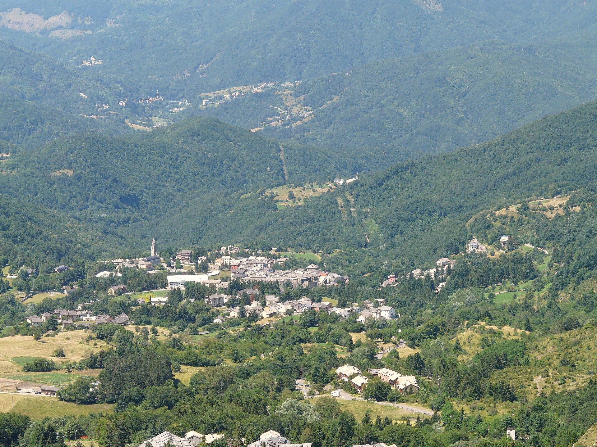
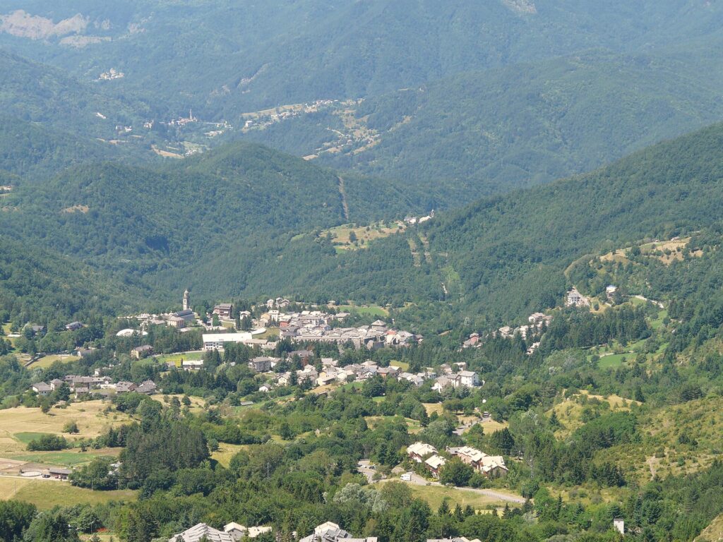
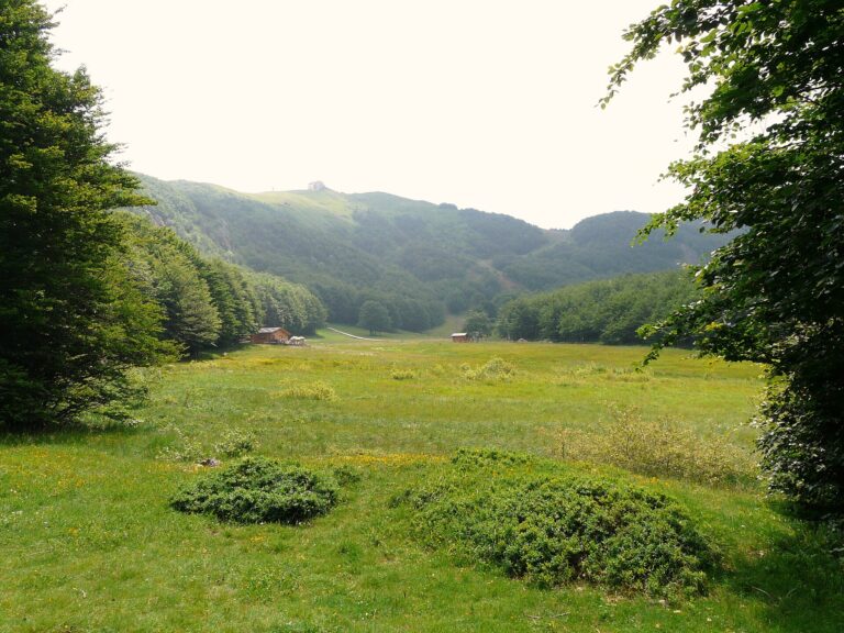
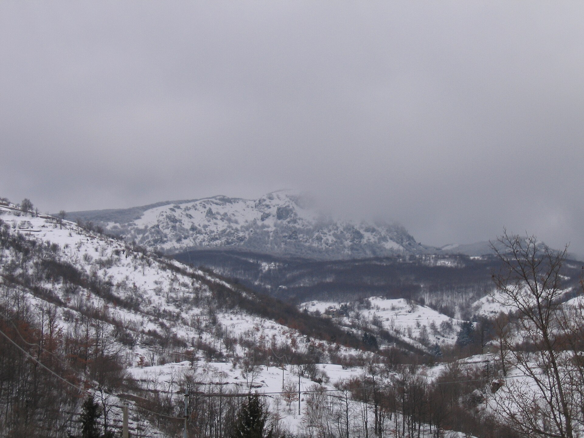
Santo Stefano d’Aveto is the highest municipality in Liguria. The village stands at 1,012 metres, in the province of Genoa, in the Aveto valley and inside the Aveto Regional Natural Park. It has about 960 inhabitants, a pentagonal castle on the square, a sanctuary with no equivalent in Italy and, above the houses, the highest mountains of the Ligurian Apennines: Monte Maggiorasca (1,804 m), Monte Penna (1,735 m), Monte Bue and Groppo Rosso. It is an Orange Flag village of the Italian Touring Club.
You do not see the sea from here, except from the ridges, and that is the point: in summer it is cool, with beech woods and high meadows, and in winter, when there is snow, you ski or go snowshoeing. The ski lifts start at Rocca d’Aveto, above the village, and go up to Prato della Cipolla and Monte Bue. It is not a big ski area: it is a small mountain resort that only runs when there is enough snow.
This guide tells you what to see in the village (castle, Guadalupe sanctuary, short walks), how to climb the peaks, what happens in winter and how to get here without a railway station. For the climb up Maggiorasca, the goal most visitors search for, see the guide to Monte Maggiorasca.
By Italian Riviera editorial team·Updated on ·12 min read
Where is Santo Stefano d’Aveto?
Santo Stefano d’Aveto is in Liguria (Riviera di Levante, Golfo del Tigullio, province of GE).
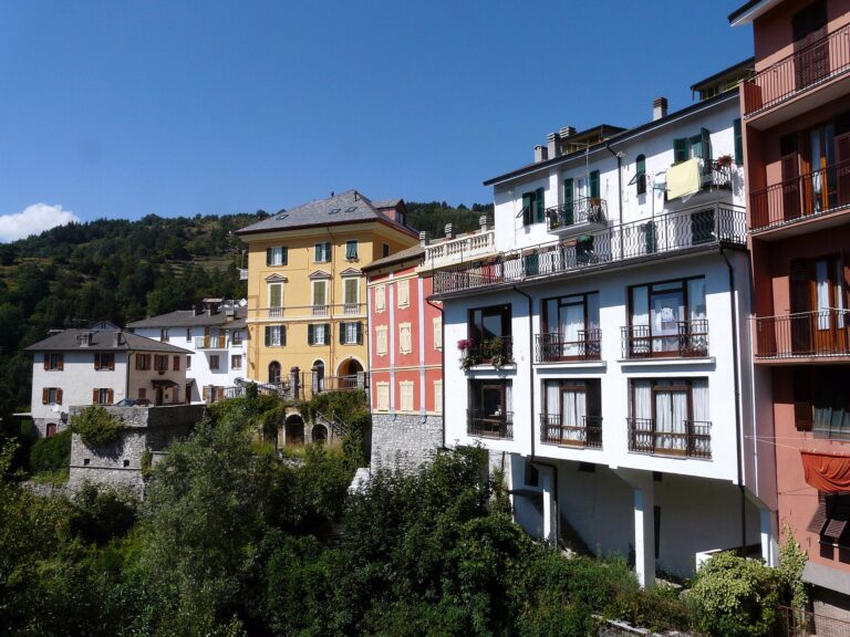
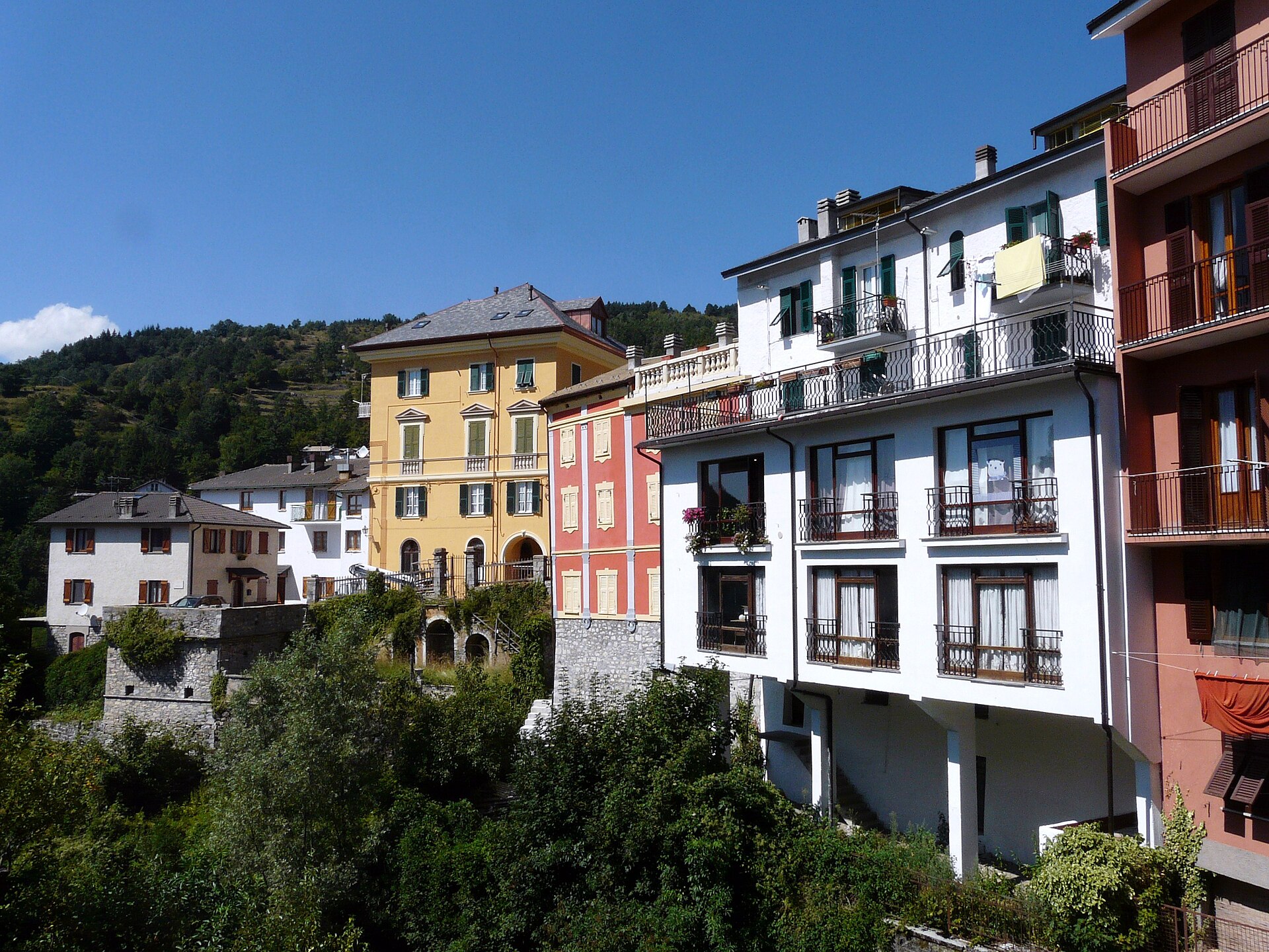
You can walk round the village in an hour: a square, the castle, the church, a few lanes and houses with steep pitched roofs. The real sights are outside, in the peaks, meadows and woods of the Park. Below: first the centre, then the mountains and the walks.
The village and its square
Santo Stefano is a mountain village with few streets and many scattered hamlets: Allegrezze, Amborzasco, Alpicella, Gramizza, Pievetta, Roncolongo, Rocca d’Aveto and others. The centre is built around Piazza Domenico Livellara, in front of the castle, and the sanctuary. The tourist office (IAT) is at Piazza del Popolo 6, on the ground floor of the town hall. The village sits on the border with Emilia, between the Aveto valley and the Ceno and Nure valleys.
Malaspina-Fieschi-Doria castle
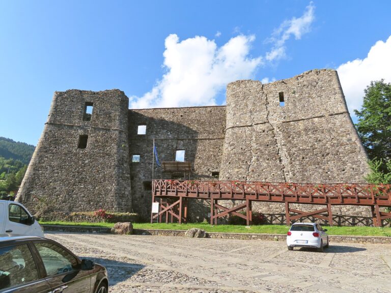
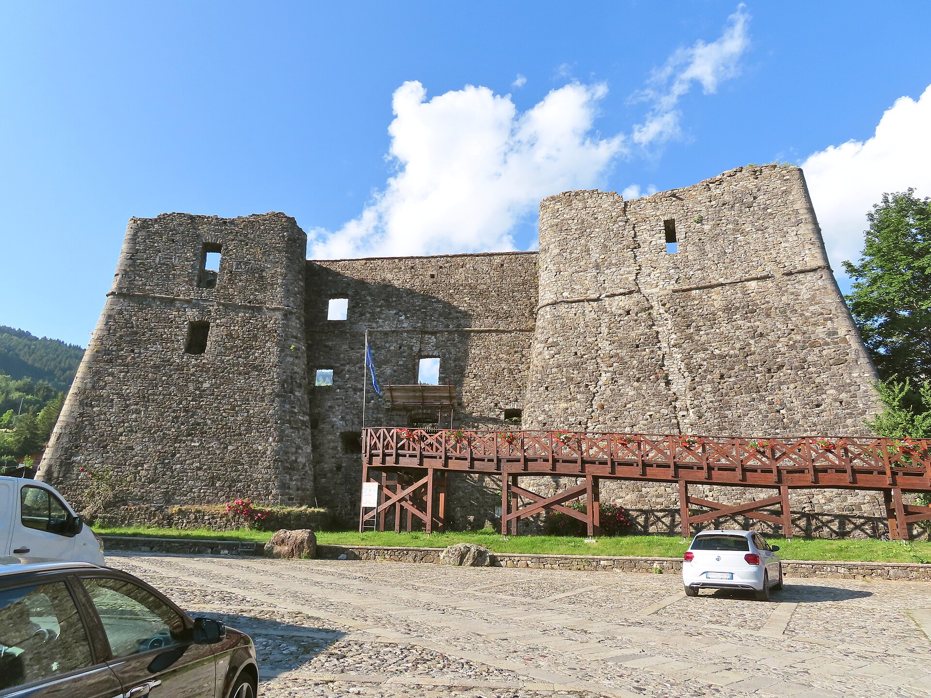
The castle dominates the village. It has a pentagonal plan, with walls 2–3 metres thick at the base and more than 17 metres high on average; the entrance had a drawbridge. What you see today is the Doria rebuilding of an older Malaspina fortress. In 1164 Emperor Frederick Barbarossa invested Obizzo Malaspina with the fief; in 1495 it passed to the Fieschi, counts of Lavagna; in 1547, after the Fieschi conspiracy against the Dorias, it was confiscated and given to Andrea Doria; from 1649 it belonged to the Doria Pamphilj, until 1797. In 1796 the villagers rose against their lords: tradition says the lord’s “bravi” (henchmen) were thrown off a bridge, now called Ponte dei Bravi.
The village tourist site says the interior can be visited after restoration: prisons, stables, granary, courtroom, a large cistern, the lord’s rooms and the chapel of San Carlo. Opening times are not published: ask the tourist office (0185 88007, ext. 1) before you walk up. The outside can be seen all year.
Sanctuary of Our Lady of Guadalupe
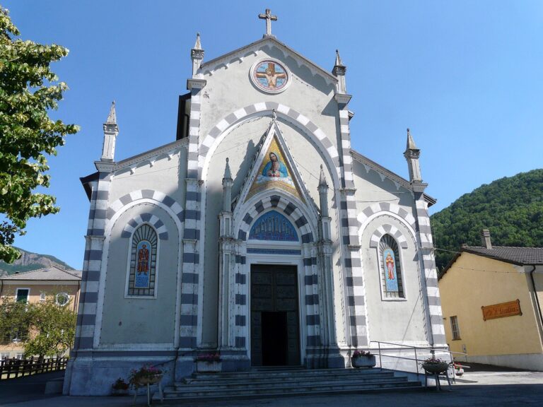
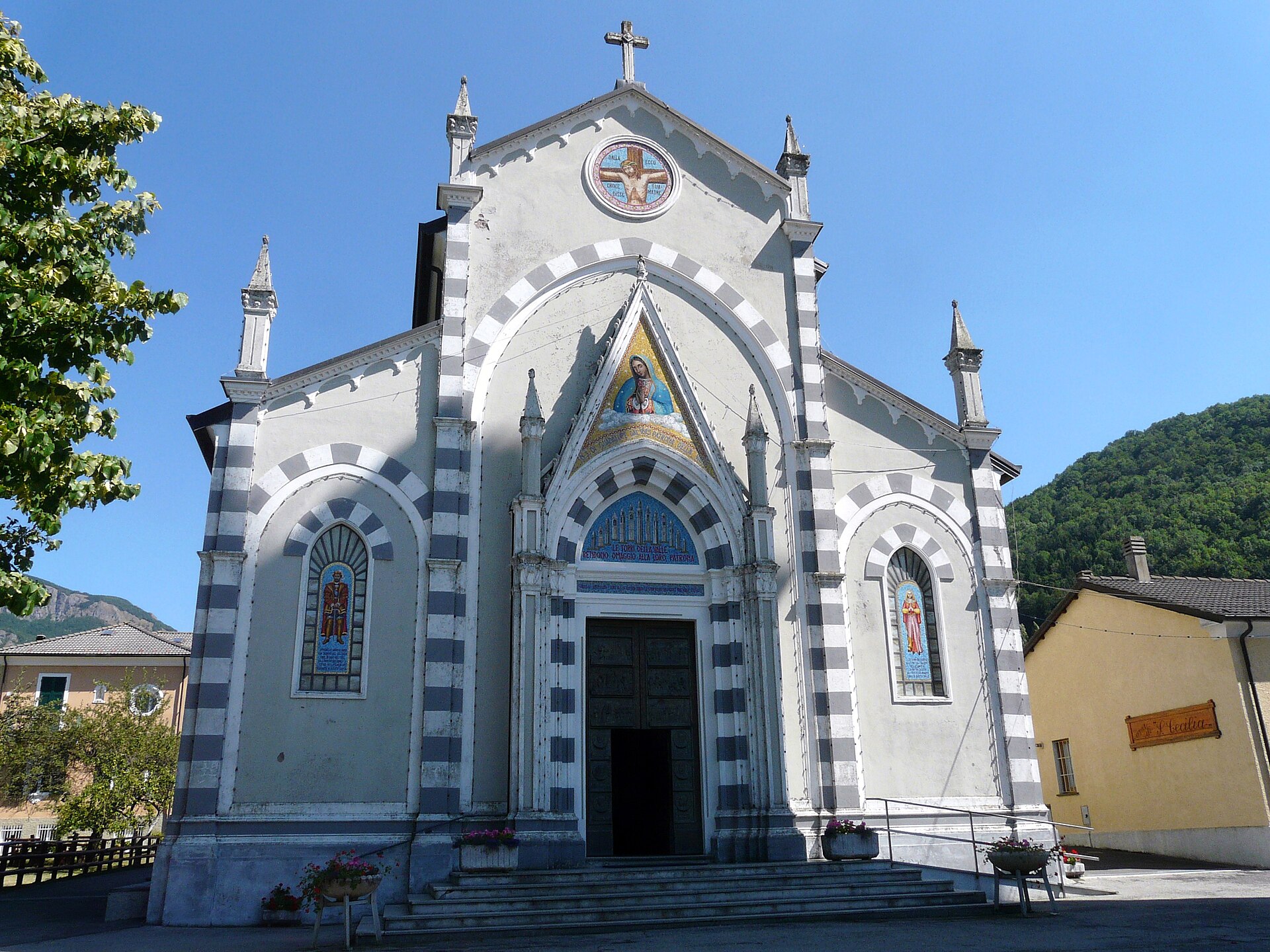
This is the parish church and the only sanctuary in Italy dedicated to Our Lady of Guadalupe. The cult reached the valley in the 19th century. According to tradition, in 1802 a student, Antonio Domenico Rossi, brought a small picture to the parish; in 1811 Cardinal Giuseppe Doria gave the Mexican painting that now stands on the high altar, which is said to have been aboard Andrea Doria’s ships at Lepanto. In 1815 Our Lady of Guadalupe was proclaimed patron of the valley, and since 1972 the church has been recognised as a sanctuary.
The present building dates from 1928, in Tuscan Gothic style, built after the earlier church, damaged by landslides, was demolished; the 18th-century bell tower remains. Inside are a wooden choir, baptistery and Way of the Cross made by craftsmen from Val Gardena, and a bronze door with scenes of the apparition. The sanctuary feast is on the Sunday after 16 August.
Monte Maggiorasca
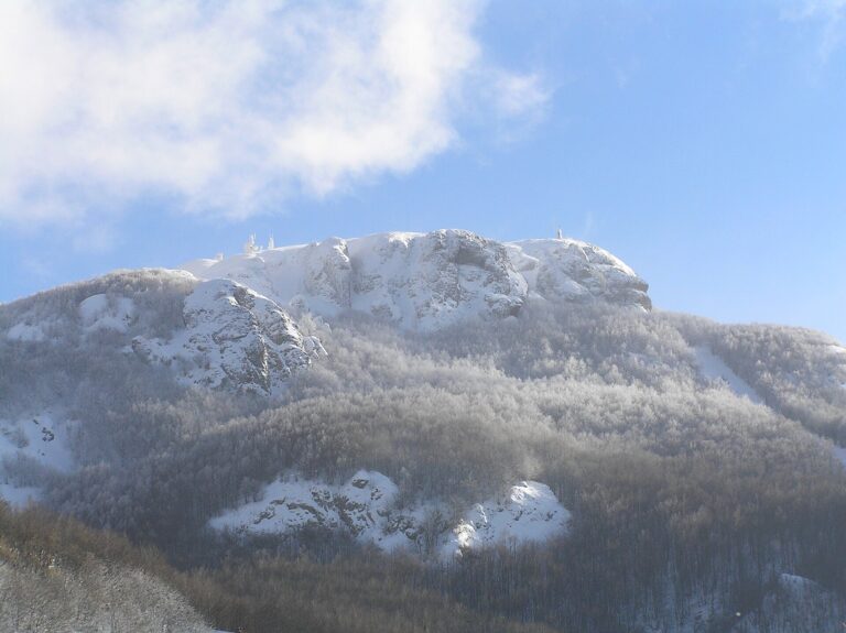
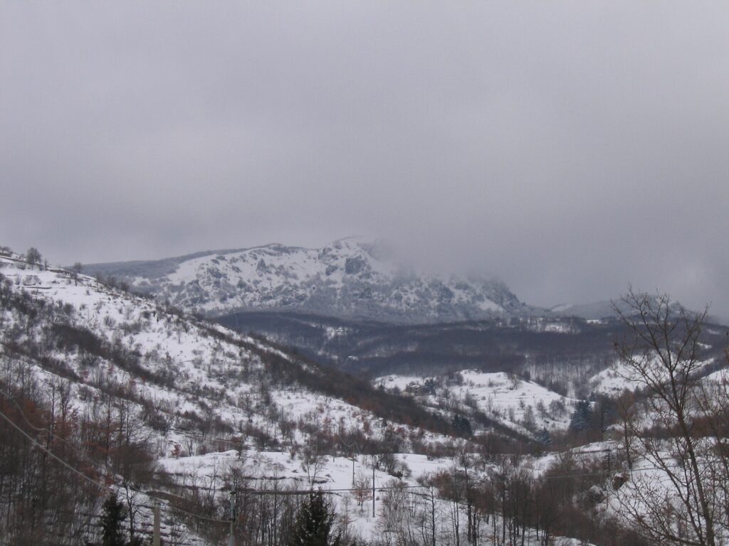
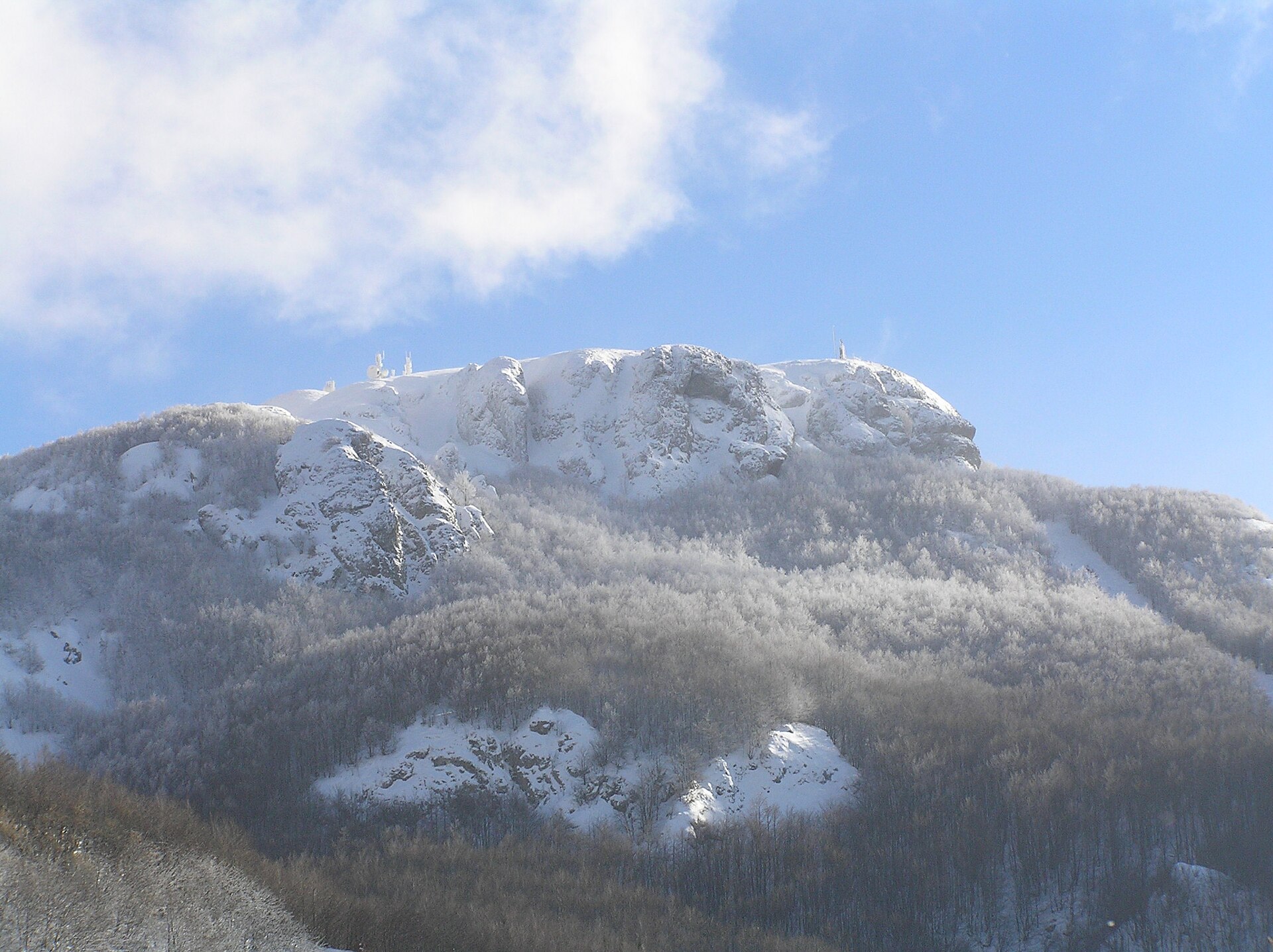
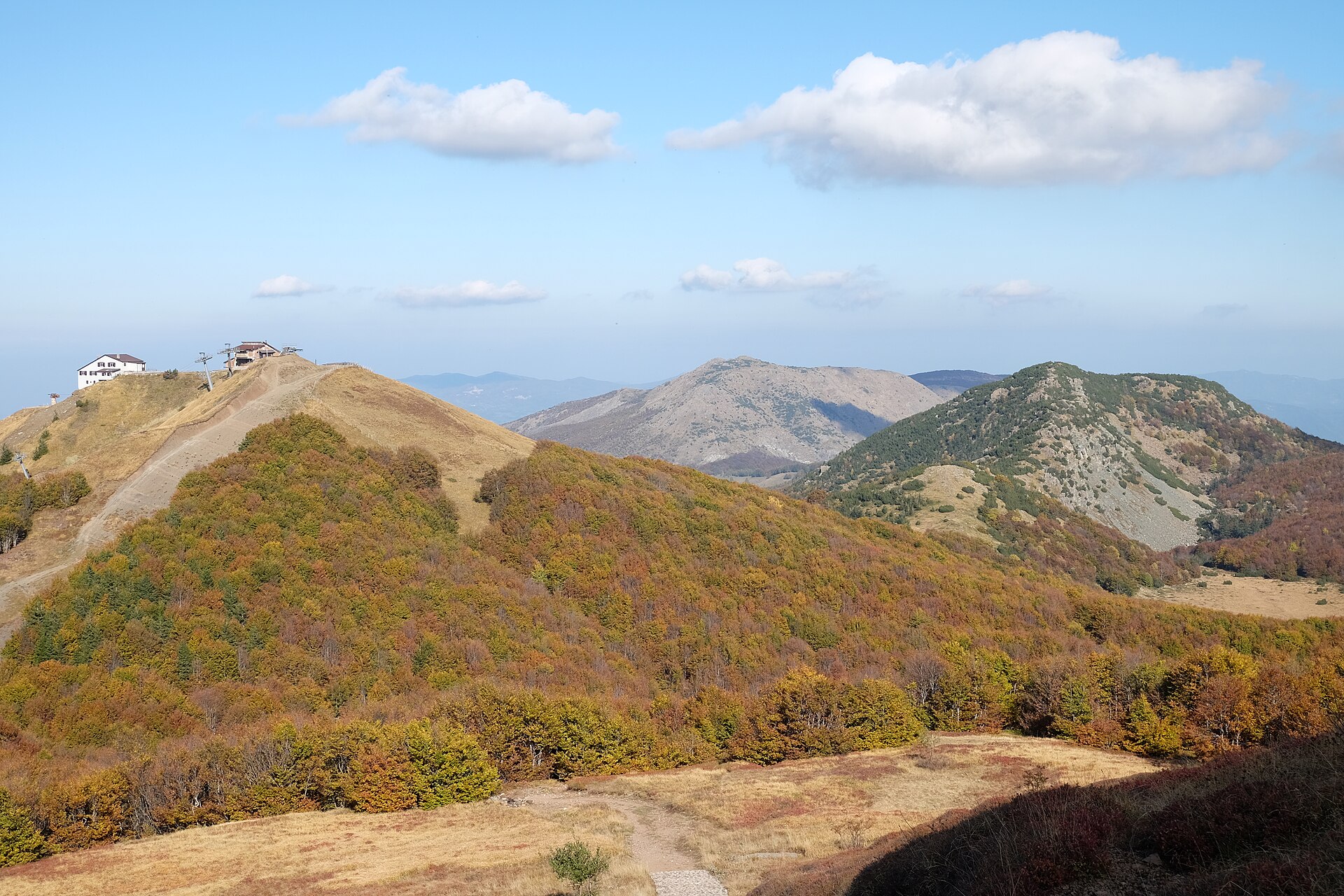
At 1,804 metres it is the highest peak of the Ligurian Apennines, on the border with Emilia-Romagna. From the top you see the Aveto valley, the Ceno valley and, on clear days, the Apuan Alps. Just below the summit stands the bronze statue of Our Lady of Guadalupe, placed in 1947 after the war: every 27 August a pilgrimage climbs up to it. With the chairlift from Rocca d’Aveto to Prato della Cipolla and Monte Bue the climb is short, but it is not an easy stroll in every season. Routes, times and warnings are in the Monte Maggiorasca guide.
Monte Penna and Laghetto del Penna
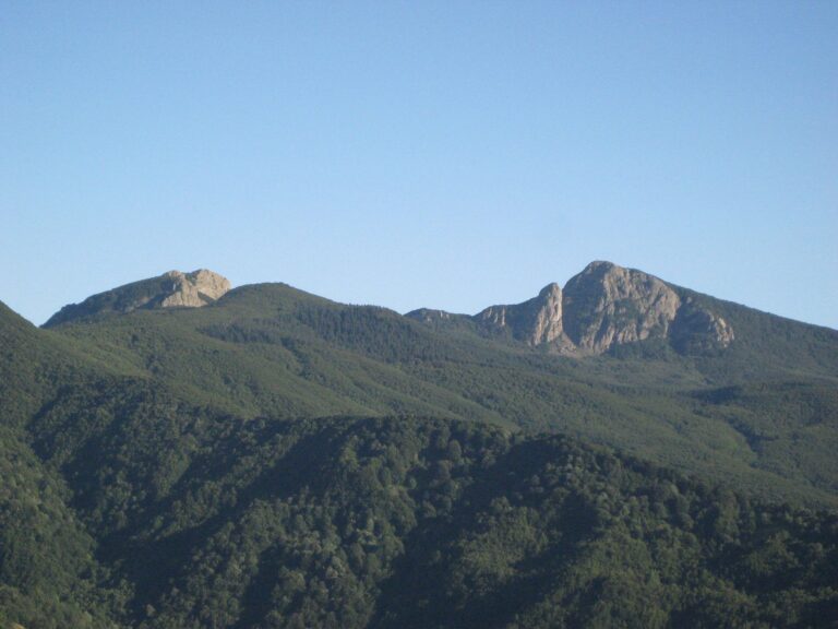
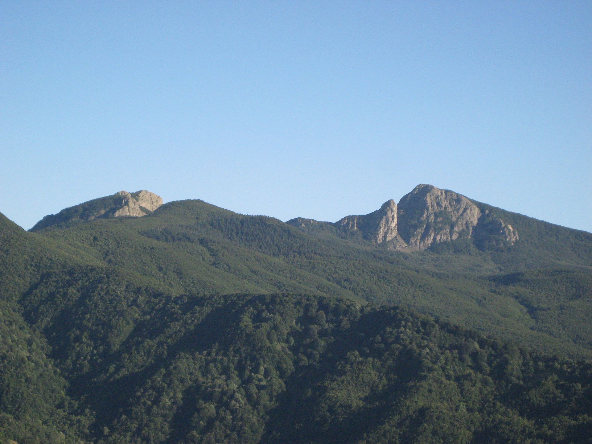
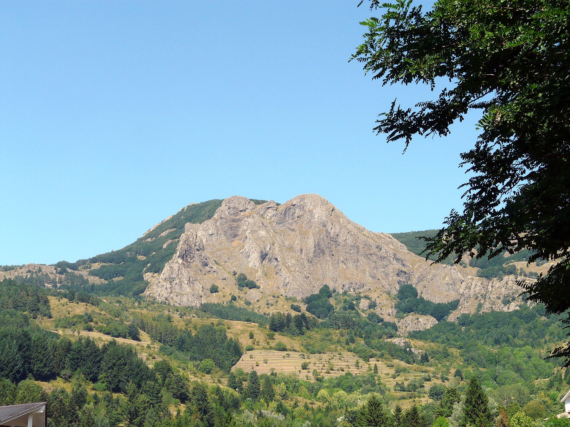
Monte Penna (1,735 m) has a pyramid shape and can be recognised from afar. The north side is rocky, basalt, almost alpine; the south side is gentle and covered by the Penna state forest, with beech and conifers. On a clear day the view reaches the Ligurian Sea, the Alps and the Apuan Alps. One of the most used accesses starts from Passo dell’Incisa. From the Casermetta del Penna, a 20-minute walk leads to Laghetto del Penna, a small glacial lake in the woods.
Monte Groppo Rosso
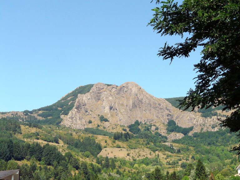
Groppo Rosso (1,597 m) is the balcony above the village. The name comes from the iron-rich rocks that turn reddish at sunset. From the top you see Monte Bue, Maggiorasca and Penna. It is a climb for almost everyone: from Prato della Cipolla, by chairlift, it takes about 30 minutes. Other paths start from Rifugio Astass and from Roncolongo.
Prato della Cipolla, Monte Bue and Rocca d'Aveto
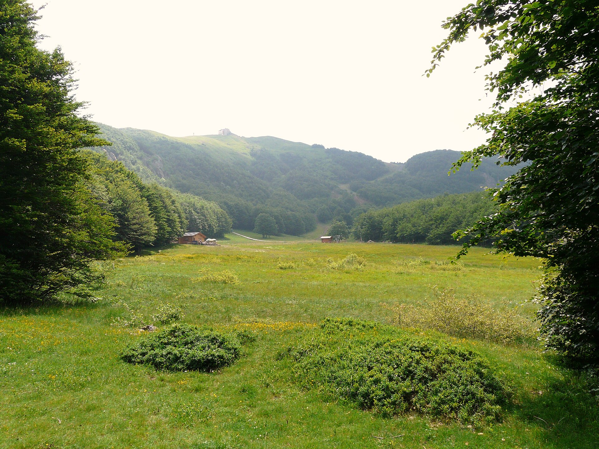
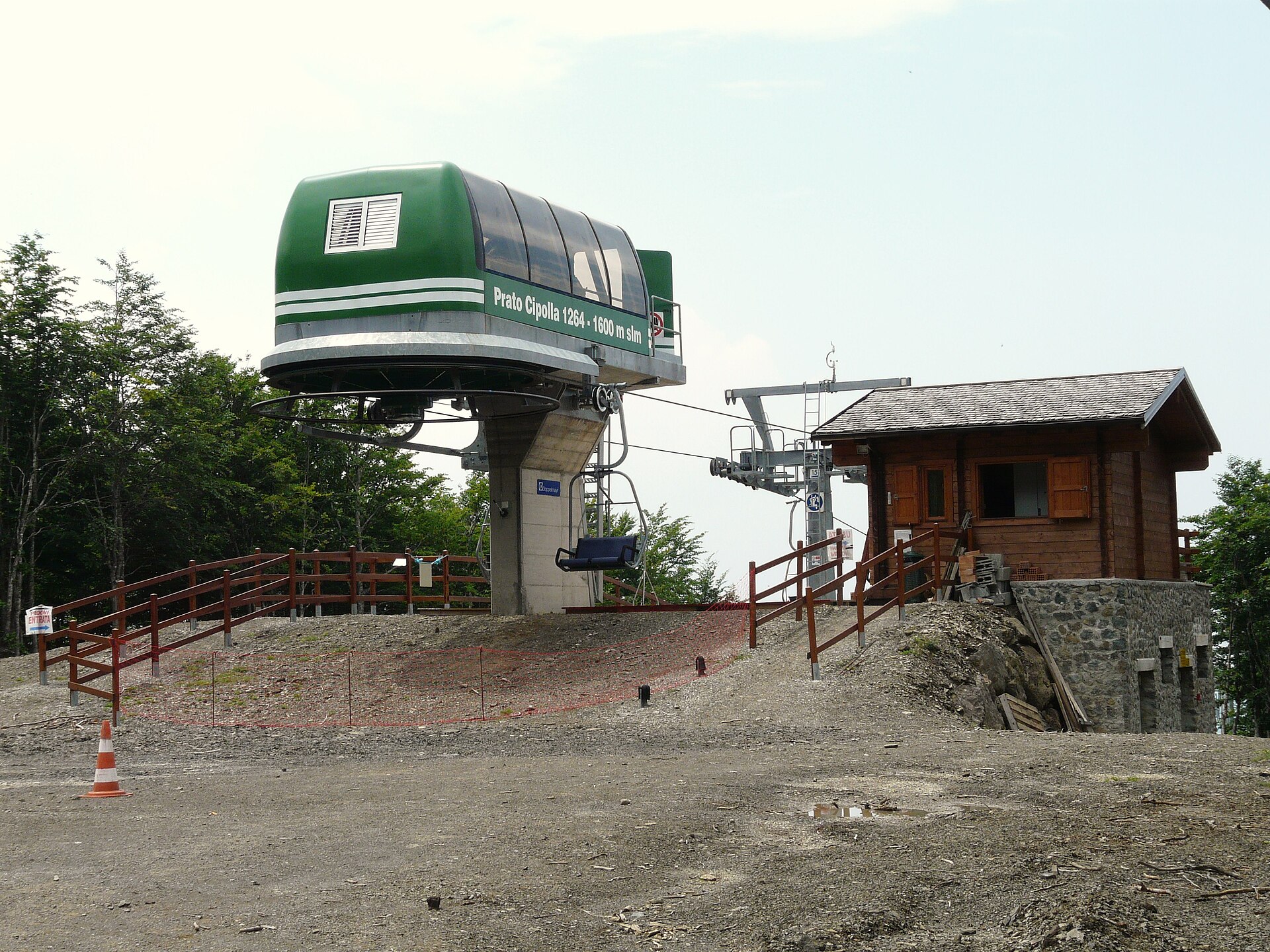
Rocca d’Aveto is the hamlet where the lifts start, with a large car park. The chairlift climbs to Prato della Cipolla, where there is a mountain hut with a restaurant; a second section goes to Monte Bue (about 1,775 m), where there is another hut, with a restaurant and 12 beds in two dormitories of six (booking by phone). The two chairlifts opened in 2008 and 2010. Prato della Cipolla is also the centre of the pistes in winter.
Short walks
If you do not want to climb to a summit, the village tourist site describes a series of easy walks, with the times given by the municipality:
Fontana Buona – Cappelletta: from the castle square, flat path in the woods, about 40 minutes.
Riofreddo – Lago Riane – Riofreddo: from Rocca d’Aveto, about 1 hour 30 minutes.
La Nave: from Passo del Chiodo, through beech woods to a rock “keel”, about 20 minutes.
Monte di Mezzo: drive to Valico di Mezzo (1,243 m) and walk up for about 20 minutes.
Monte Crociglia: from Passo Crociglia, about 30 minutes, with a statue of an archangel on top.
Castelluzzo: from Allegrezze, about 30 minutes, past the remains of a fortified structure.
More itineraries, including longer ones, are published on the Komoot app by the municipality. These are mountain paths: times and conditions depend on the weather, so always check the forecast (see the Santo Stefano d’Aveto weather). For more hikes in the region, see the guide to trekking in Liguria.
Agoraie reserve and Lago delle Lame
The Aveto Park runs guided visits, with the forest rangers (Carabinieri Forestali), to the Agoraie nature reserve, which protects small glacial lakes and rare plants; in 2026 the places were sold out, so check the Park calendar for next year. Lago delle Lame (1,048 m) is a glacial lake in the Lame forest, but it lies in the neighbouring municipality of Rezzoaglio: you reach it by car along a winding road past Magnasco, and it is an easy stop on a day in the valley.
Where to stay
Where to stay in Santo Stefano d'Aveto
The choice is small and concentrated: hotels, B&Bs, rooms for rent and farm stays in the village and hamlets, two mountain huts (Casermette del Penna and Monte Bue) and a motorhome area, “La Piscinella”, with 12 pitches (tel. 329 0808602). The updated list with contacts is on the village tourist site. Some places open only in certain periods: from December to March and in August book early, especially on weekends with snow.
To orient yourself: in the village you can walk to the castle, shops and bars; at Rocca d’Aveto you are next to the lifts, but in summer and off-season there are few services; in the hamlets you find more isolated farm stays and B&Bs, handy if you have a car. If you prefer the sea, Chiavari and Lavagna are the nearest base. For farm-stay alternatives see the guide to farm stays in Liguria.
A12 exit Lavagna, then the Aveto valley road (SP 586): winding, over 1 h 30 from Genoa ⚠️
By train
No station: train to Chiavari (Genoa–Pisa), then a regular bus ⚠️
By plane
Genoa Cristoforo Colombo, then train to Chiavari and bus or car ⚠️
By car
Leave the A12 (Genoa–Livorno) at Lavagna, the exit the municipality recommends. From Lavagna or Chiavari follow the Aveto valley road (SP 586, often shown on maps as SS 586) through Cogorno, Mezzanego, Borzonasca and Rezzoaglio to Santo Stefano. From the Po Plain use the A1 (Basso Lodigiano exit, then the Trebbia and Nure valleys) or the A15 (Borgotaro exit, then Bedonia and the SP 58 over Passo del Tomarlo). The roads are paved and open all year, but winding: allow more than an hour and a half from Genoa ⚠️. In winter, with snow or ice, winter equipment is required; the Metropolitan City has reported landslides on the provincial road in the past, so check road conditions before leaving.
By train
Santo Stefano has no station. The reference station is Chiavari, on the Genoa–Pisa line, served by regional and long-distance trains. From Chiavari a regular intercity bus runs to Santo Stefano d’Aveto.
By bus
The municipality confirms a regular bus service between Chiavari and Santo Stefano, but does not publish timetables: check runs and operator before you leave, especially in winter and on public holidays ⚠️. To go up to Rocca d’Aveto outside the ski season you need a car or a taxi.
By plane
The nearest airport is Genoa Cristoforo Colombo. From there you go to Chiavari by train (changing at Genoa) and then by bus, or you rent a car.
Parking
There are three public car parks in the village: in Piazza Domenico Livellara, in front of the castle; in Via Albino Badinelli, below the road as you enter from Chiavari, under Bar Miravalle; and in Via Costigliola, behind the sanctuary, near the sports facilities. At Rocca d’Aveto, where the chairlift starts, there is a large car park.
Summer is the walking season. Besides the peaks there is cycling and mountain biking (also e-bikes), with an MTB school in the village; horse trekking and walks with donkeys; two via ferrata routes, the Adolfo Ferrari on Monte Roncalla and the Mazzocchi, which need equipment and experience. For 2026 the tourist site lists an outdoor padel court and a beach volleyball court, free for now.
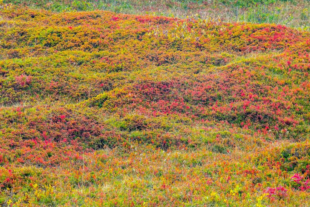
Autumn brings the foliage in the beech woods, with warm colours on Penna and Maggiorasca, and the transhumance. The tourist site publishes a booklet of summer-autumn-winter events, downloadable or free at the IAT office.
What to do in winter: snow and lifts
The lifts are two chairlifts (Rocca d’Aveto – Prato della Cipolla and Prato della Cipolla – Monte Bue), a drag lift and two moving carpets, with 7 pistes according to the operator (Ski Area Santo Stefano d’Aveto). They include the blue Fraccia run, from Monte Bue to Prato della Cipolla, the red Marco Corvisiero, a racing piste and the children’s learning area. It opens only with enough snow: at the end of January 2026, after snowfalls, the pistes above 1,600 metres and both huts were open on the weekend of 31 January and 1 February, with lifts from 9 to 16:30.
The 2026-27 season has not been announced yet and the lift pass price list is not published: for dates, hours and prices call the Ski Area (366 4227837, skiareasantostefanodaveto@gmail.com) or check the Facebook page “Impianti Val d’Aveto”. There is also ski mountaineering, cross-country skiing, a snow park and snowshoeing: Maggiorasca and Penna are classic snowshoe trips. In winter, with snow or ice, winter equipment is required on the valley roads.
What to eat in Santo Stefano d’Aveto
It is mountain food, from milk and woods. The signature product is San Stè cheese, a PAT (traditional food product) made in the upper Aveto valley from raw cow’s milk; it is aged for at least two months and is often eaten warmed in slices. Sarassu is a salted, aged ricotta made from whey: you grate it over pasta or into pesto. Then there are mushrooms, honey, canestrelli biscuits and pinolata, a local dessert. Mushroom picking is regulated: ask in the village before going into the woods.
Restaurants, farm stays, bars and pastry shops are listed on the village tourist site. We do not give names: hours and openings change a lot with the season, so out of season ask your accommodation or the IAT office.
Events in Santo Stefano d’Aveto
The events most tied to the village are the feast of the Guadalupe sanctuary (Sunday after 16 August), the pilgrimage to Maggiorasca (27 August), the transhumance at the end of October and the Christmas markets. In 2026 the 28th Festival Appennino in Musica, with bands and choirs, takes place on 24 and 25 October, and the transhumance is on Sunday 25 October, from 12 to 3 pm. The 2027 dates are not confirmed yet: check the calendar on the village tourist site.
Day trips from Santo Stefano d’Aveto
The valley runs down to the coast, and the natural way to round off a weekend is to go back to the sea:
Chiavari: the reference railway station and the starting point of the buses to the village.
Lavagna: the A12 exit recommended by the municipality to drive up the valley.
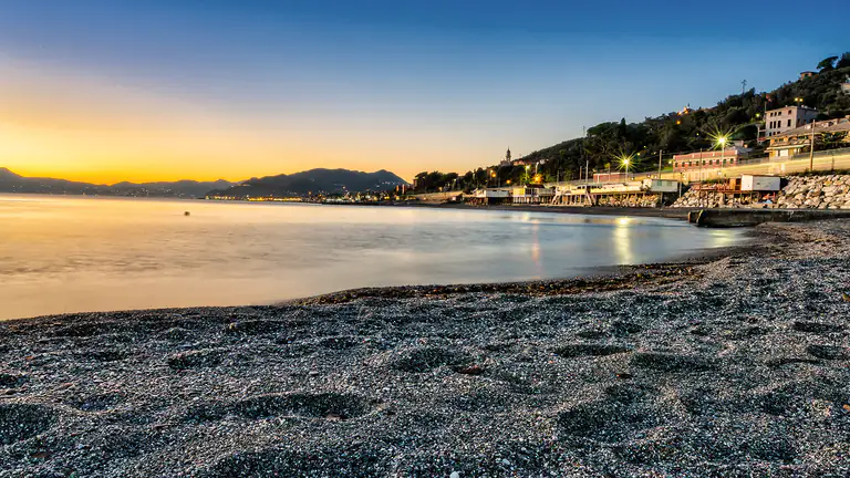
Sestri Levante: the Bay of Silence, east along the coast.
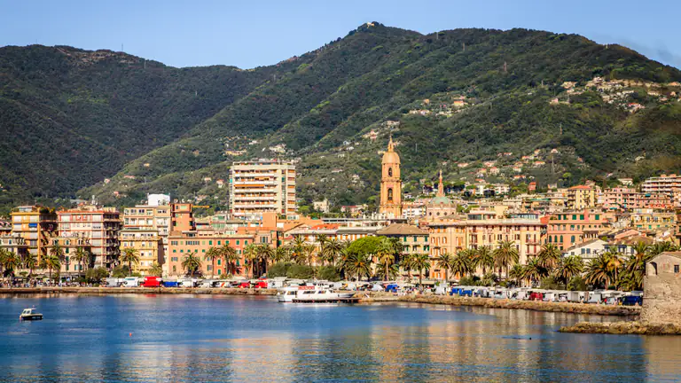
Rapallo: seafront and cable car to Montallegro, on the Tigullio gulf.
In the valley, on the Ligurian side, you meet Borzonasca and Rezzoaglio, seat of the Park, with Lago delle Lame; on the Emilian side, past Passo del Tomarlo, is Bedonia, in the Ceno valley. At Borzonasca the Park also has the Borzone Abbey, dated by an inscription to 1244.
Weather
Weather and best time to visit Santo Stefano d’Aveto
June–September for paths and cool air; October for foliage; snow in midwinter, if any
⛅
4°CNow · wind 13 km/h
Thu 22🌤️11° 4°
Fri 23🌧️9° 4°13 mm
Sat 24☀️8° 2°
Sun 25☁️10° 2°
Mon 26☁️14° 4°
Tue 27☀️17° 8°
Forecast: MET Norway (Yr), CC BY 4.0 licence. Updated hourly.
Santo Stefano d'Aveto e la Val d'Aveto viste dall'altoCase del centro storico di Santo Stefano d'AvetoIl castello Malaspina-Fieschi-Doria di Santo Stefano d'AvetoLa facciata del santuario di Nostra Signora di GuadalupeIl Monte Maggiorasca con la neveIl Monte Penna in estateIl Monte Groppo Rosso sopra Santo Stefano d'Aveto
FAQ
Frequently asked questions about Santo Stefano d'Aveto
Is Santo Stefano d'Aveto in Liguria or Emilia?
It is in Liguria, in the Metropolitan City of Genoa. The village borders Emilia-Romagna but stands on the Ligurian side.
How high is Santo Stefano d'Aveto?
1,012 metres above sea level. It is the highest municipality in Liguria.
When can you ski in Santo Stefano d'Aveto?
Only when there is enough snow, usually in the winter months. At the end of January 2026 the lifts were open on the weekend after snowfalls. Dates for the 2026-27 season are not yet published.
How much is the lift pass?
We have no confirmed price for 2026-27. The price list is not available online: ask the Ski Area (366 4227837).
How do you get here without a car?
By train to Chiavari, then by regular bus. Check the timetable before you leave.
Can you visit the castle?
The tourist site says the interior can be explored after restoration, but it does not publish opening times. Ask the IAT office: 0185 88007, ext. 1.
What is the highest mountain near the village?
Monte Maggiorasca, 1,804 metres, the highest peak of the Ligurian Apennines.
Where is Lago delle Lame?
In the municipality of Rezzoaglio, at 1,048 metres, inside the Lame forest and a short distance from Santo Stefano.
What are the local specialities?
San Stè cheese, sarassu, mushrooms, honey, canestrelli biscuits and pinolata.
What are the tourist office hours?
Tuesday and Wednesday 10–12, Thursday 9:30–12:30, Friday, Saturday and Sunday 9–13 and 15–18; closed Monday. Hours may change: phone 0185 88007, ext. 1.