Beodo Trail
An easy walk of about 3 km above Bordighera, along an old aqueduct, among olives, palms and mimosa.
- Where
- from Bordighera Alta towards the Sasso valley
- Length
- about 3 km (Visit Bordighera)longer loops reach Sasso
- Elevation gain and difficulty
- about 180 m, easyE
- Waymarking
- signposts and a few marksnot always obvious
- When
- in the morningespecially in winter, for the sun
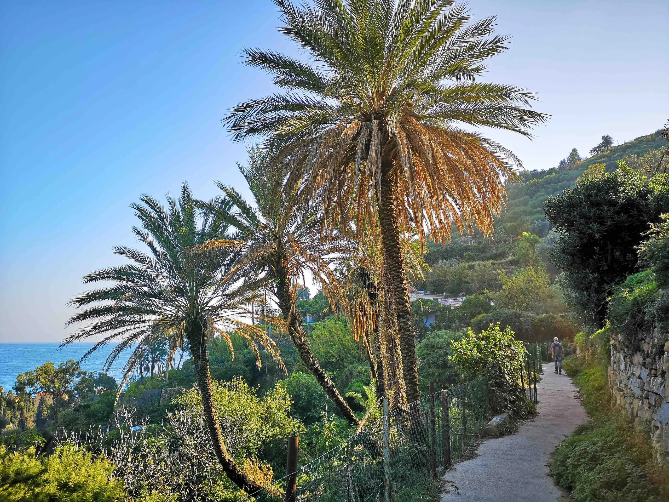
The Beodo Trail is an easy walk of about 3 kilometres above Bordighera, following the route of an old aqueduct that carried water from the springs of Monte Nero to the town centre. It starts in Bordighera Alta and crosses olive groves, dry-stone walls, palms and mimosa. It is free and suitable for everyone, with comfortable shoes.
What the "beodo" is
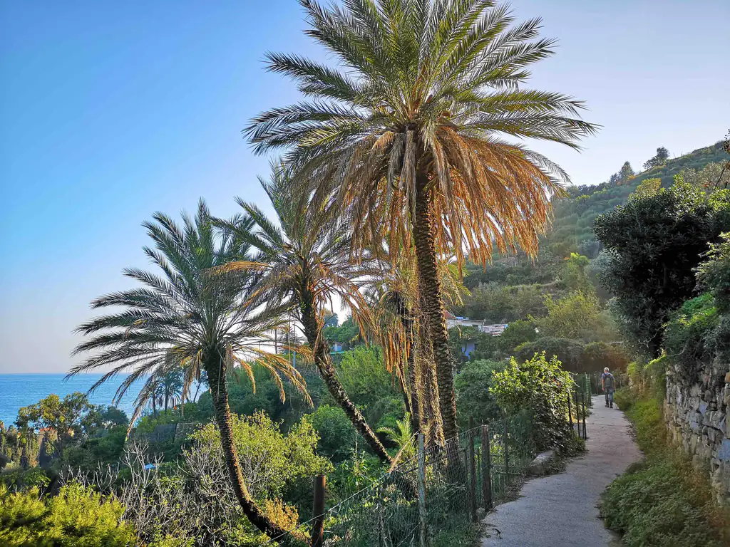
The beodo is the channel of the old aqueduct that carried water from the springs of Monte Nero to Bordighera. The trail follows its route and in places you can still see the stone channels. That is why it is so regular and flat: it is the road of the water.
What you see along the trail
The first part runs between olive groves, dry-stone walls and pergolas; further on, after the motorway viaduct, the vegetation becomes wilder, with reeds, mimosa, broom, palms and succulents. You come across a small waterfall, ruined olive presses and a few stream crossings. Charles Garnier called it one of the most thrilling walks in Bordighera, and Monet was fascinated by it too.
The painter depicted the Sasso valley in 1884: “La Vallée de Sasso, effet de soleil” is in the Musée Marmottan in Paris. To see the other places in his paintings, read the guide to Monet in Bordighera.
Route and tips
- Start: from Bordighera Alta, near the church; the return is usually on asphalt and on a mule track of brick and stone
- Longer: other routes continue to the village of Sasso and on to Seborga or Vallebona, with loops of a few hours; the first stretch is sometimes poorly kept
- What to bring: light hiking shoes and water; in summer, start early
How to get there
Bordighera Alta can be reached from Bordighera by city bus (line 11) or by car; for parking see the parking guide. If you have time, visit the village of Bordighera Alta first.
Where to stay
Where to stay in Bordighera
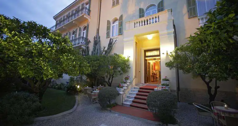
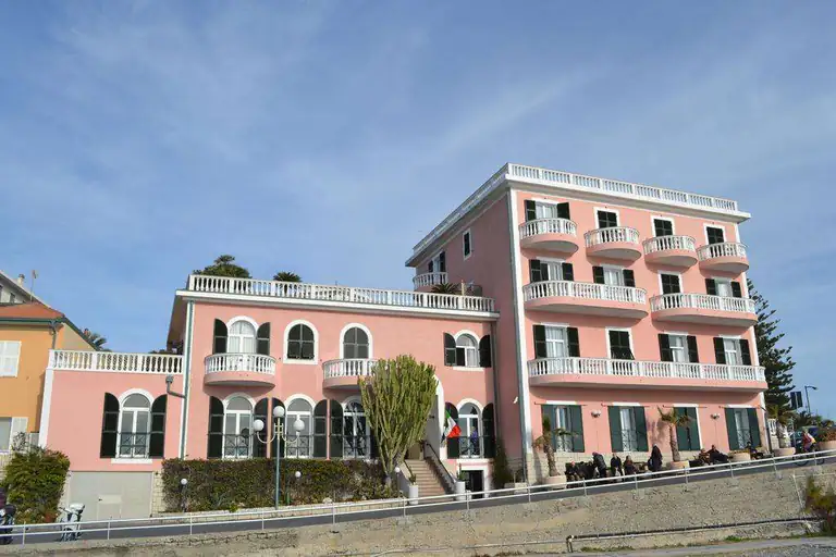
All places to stay in Bordighera on Booking: compare prices and availability.
Nearby
More to see in Bordighera
Riviera di Ponente › Riviera dei Fiori
Bordighera
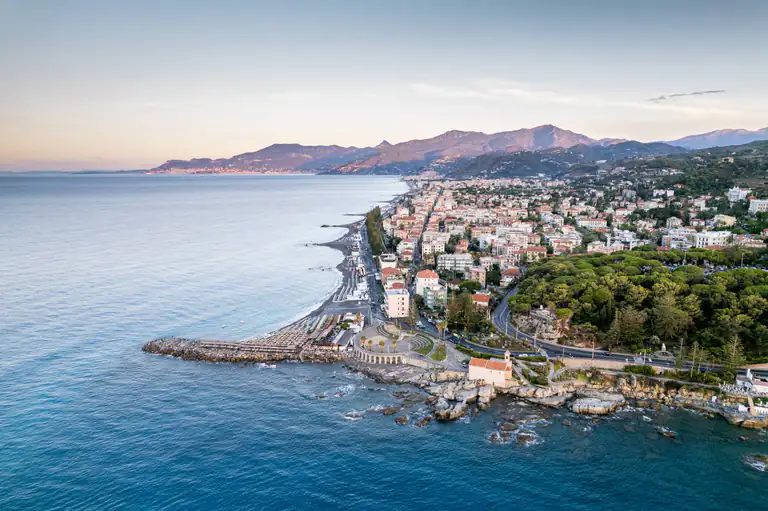
The city of palms: Bordighera Alta, Capo Sant'Ampelio, the villas and gardens of the English colony, Blue Flag beaches and…
Discover →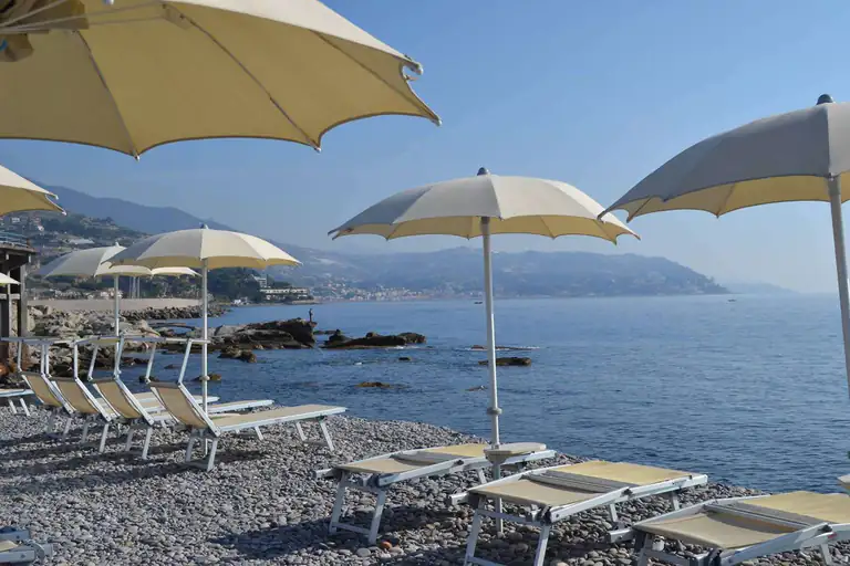
Guide
Beaches in Bordighera
Every beach in Bordighera from Rattaconigli to Arziglia: bathing establishments, free beaches, the Bau Beach for dogs and snorkelling at…
Discover →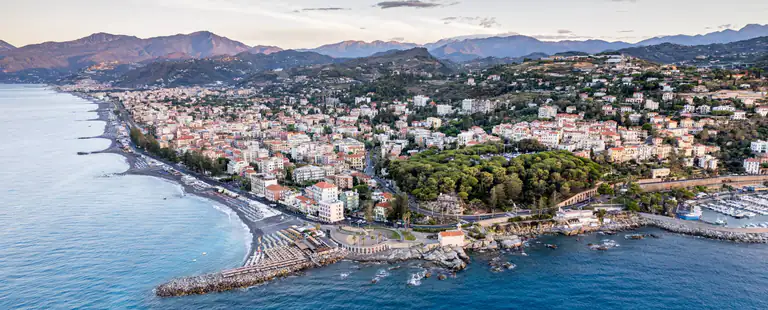
Guide
Bordighera as a base: day trips to the Riviera and Côte d’Azur
Day trips from Bordighera: Menton, Monaco, Nice, Dolceacqua, Apricale, Seborga and the Hanbury Gardens, with travel times by car, train…
Discover →
Guide
Bordighera market: Thursday market, antiques and local food
The Thursday market on the seafront, the first-Sunday antiques fair, the covered market and what to buy.
Discover →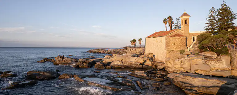
Guide
Bordighera weather: 10-day forecast and climate
The weather in Bordighera today, tomorrow and for the next 10 days: hourly forecast, wind, rain, sea temperature and the…
Discover →
Guide
Bordighera webcams
All the Bordighera webcams in one place: seafront, beaches and hillside, to check sea and weather before you go.
Discover →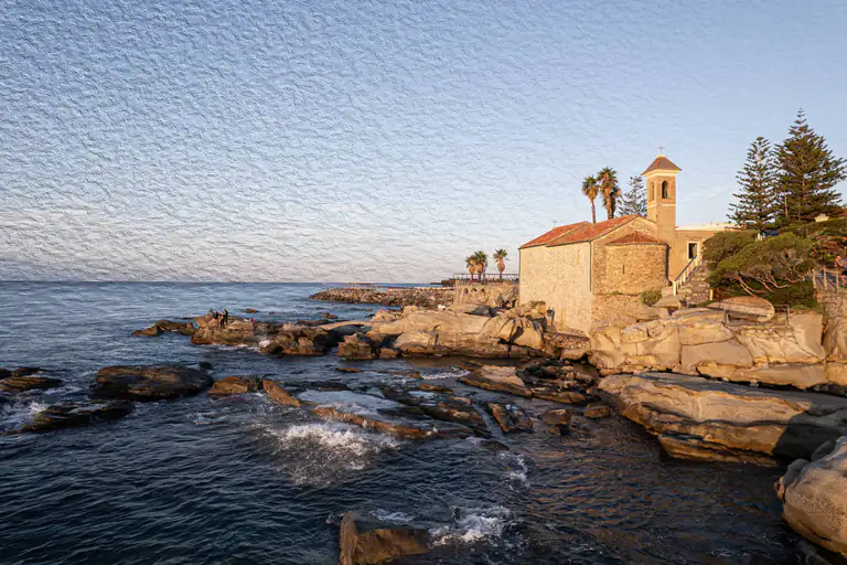
Churches and sanctuaries
Church of Sant’Ampelio
The little Romanesque church on the Capo, the southernmost point of Liguria: crypt, the legend of the palms and the…
Discover →
Guide
Monet in Bordighera
Monet's 1884 stay in Bordighera: dates, the places he painted, where to see the paintings today and how to follow…
Discover →