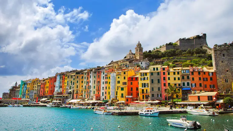
Punta Secco
The most convenient beach: pebbles and fine stones, sunbeds, umbrellas and a snack bar, with a view of Portovenere. It is the closest to the landing, so the busiest in summer.
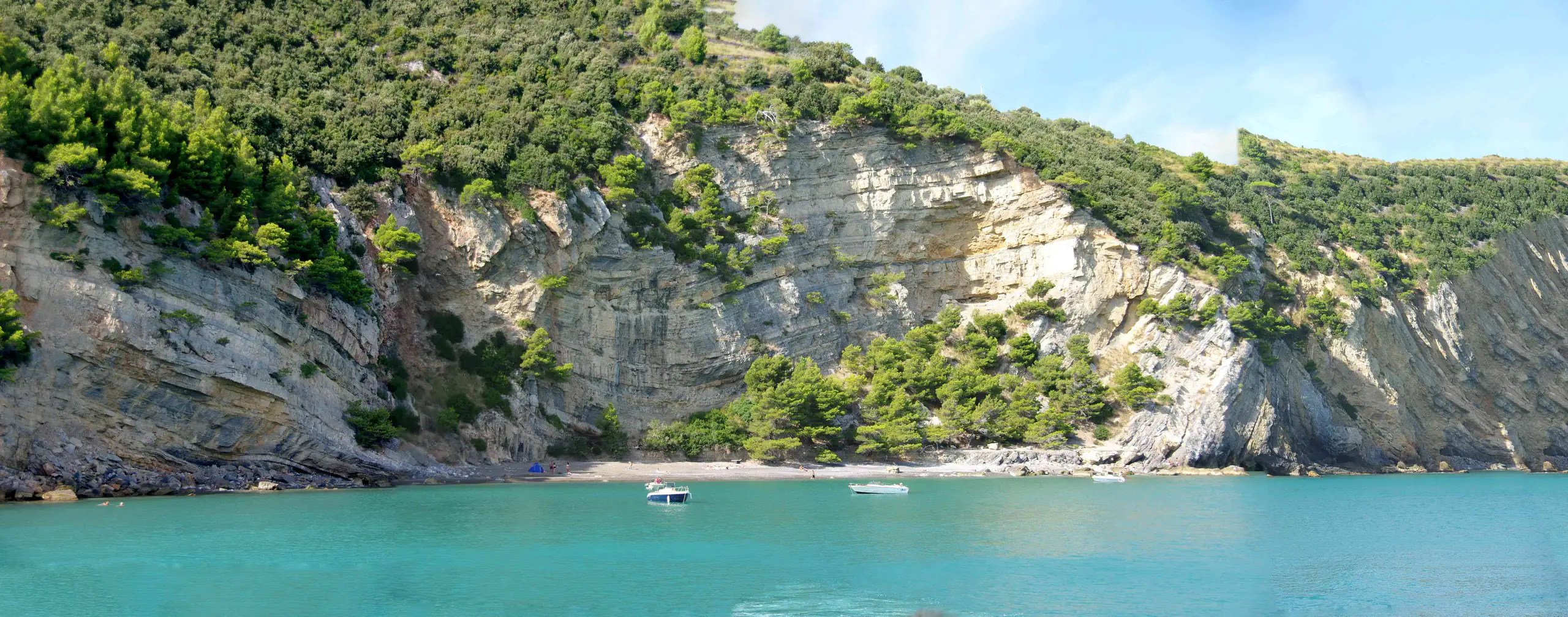
Boats from Portovenere, landing points, the beaches of Punta Secco and Pozzale, the walk around the island, forts and the three-islands tour.
Palmaria is the island facing Portovenere, separated from the village by the Bocche channel. It is the largest island in Liguria and part of the UNESCO site “Portovenere, Cinque Terre and the Islands (Palmaria, Tino and Tinetto)” and of the Porto Venere regional nature park. You can only get there by boat, a few minutes from the Molo Doria, and you explore on foot: the park’s official loop takes about 3 hours 30 minutes. This guide gives the practical details, checked in October 2026.
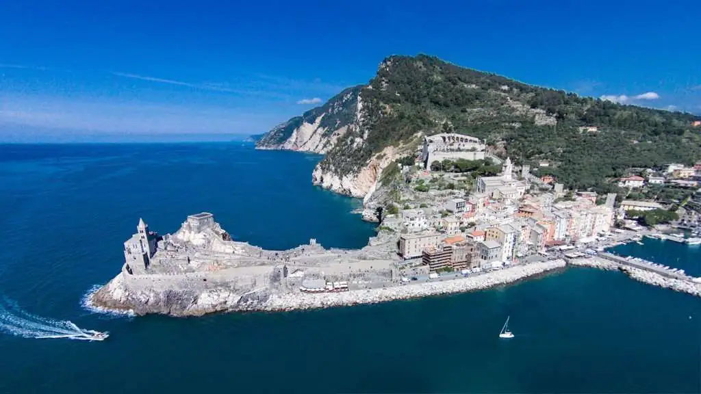
Boats leave from the Molo Doria, near the small beach in Portovenere, where signs and the ticket office say “Traghetti per Palmaria”. The public service is run by the Cooperativa Barcaioli Portovenere and, according to its website, operates all year; in bad weather sailings are reduced or suspended. The cooperative’s timetable is split into periods (1–30 April, May, 1–14 June, 15 June–1 September, 2–14 September, 15 September–31 October). The summer table, the busiest, has a boat roughly every half hour from 7.15 and the last departure from the island at 8.05pm; in spring and autumn there are fewer runs and the last return is at 7.05pm. These are the values of the latest published table, which is not dated 2026: check the last return before you leave.
Boats stop at three points:
Sources do not agree on ticket prices, so ask at the ticket office or on the cooperative’s website. From late March to early November Navigazione Golfo dei Poeti also links Portovenere with La Spezia and Lerici (line 01); the park lists Terrizzo as reachable by the scheduled boats from Portovenere and La Spezia.
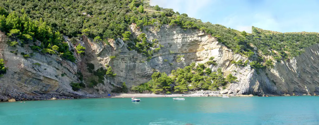
The most convenient beach: pebbles and fine stones, sunbeds, umbrellas and a snack bar, with a view of Portovenere. It is the closest to the landing, so the busiest in summer.
On the south-east side, facing Tino, it is a bay of fine gravel with rocks and a pine wood behind. You reach it on the Pozzale boat (minimum 4 people) or on foot along the trail, with a steep descent that needs care. Nearby are the old portoro marble quarries, now home to nesting herring gulls.
Punta Mariella can only be reached by a variant of the trail or from the sea with your own boat. On the side facing the gulf, Cala della Fornace, made of small beaches, can be seen from the trail. Do not stop beneath cliffs and respect the signs: it is a park rule.
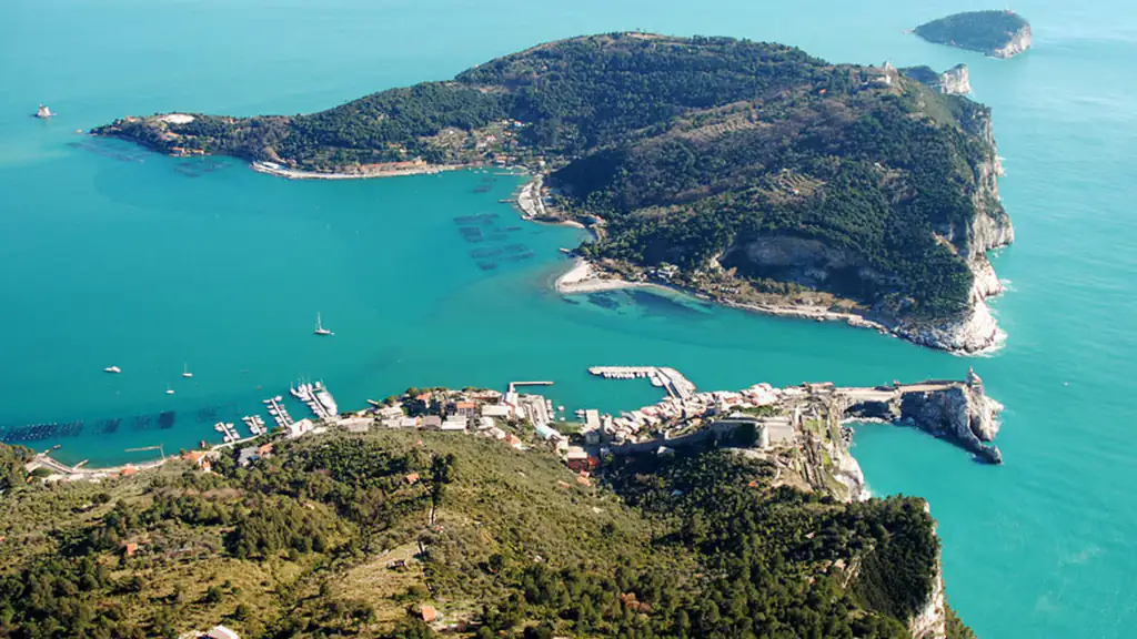
The park describes the loop as a medium-grade route of 3 hours 30 minutes with 198 m of total ascent, to be done properly equipped. It starts at Terrizzo on a dirt road that climbs gently along the gulf side and shows Fort Umberto I, the Torre Scola and Cala della Fornace. The mid-slope path then crosses Mediterranean scrub and drops steeply to Pozzale, the other landing, where you can already take a boat back. After the portoro quarries a climb leads to the island’s summit (186 m), with views of open sea and cliffs, and finally to San Pietro and back to Terrizzo.
Another guide gives 6 km and 2–3 hours: the official source is the park’s, so allow half a day with stops. In summer start early and carry water: shade is not continuous.
The park bans open fires, camping and hunting. Always follow marked trails, do not remove rocks, do not feed animals and take your rubbish with you. The park says nothing specific about dogs: ask the park authority or the cooperative before you go.
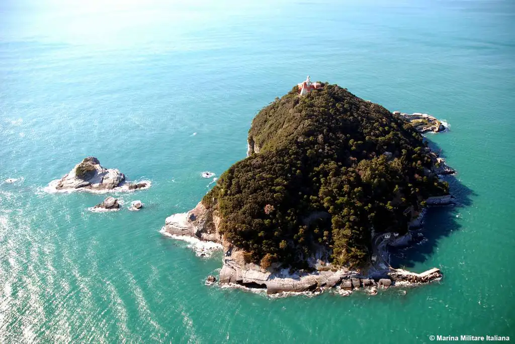
If you prefer not to land, the Giro 3 Isole by Navigazione Golfo dei Poeti leaves Portovenere and circles Palmaria, Tino and Tinetto: cliffs, the Tino lighthouse, the Madonna Bianca on the Tinetto shoal and the Torre Scola. In 2026 it runs from 28 March to 1 November; from La Spezia and Lerici the ticket also covers the return trip to Portovenere, while from the Cinque Terre you need a supplement to the line’s day ticket. Tickets can be bought online up to the day before. Tino is a military zone and can only be visited on special occasions such as the feast of San Venerio around 13 September. Read more about the White Madonna.
Nearby
Riviera di Levante › Golfo dei Poeti
San Pietro on the cliffs, Doria Castle, the tower houses on the harbour and Palmaria Island: what to see in…
Discover →Guide
Portovenere car parks with 2026 rates, when they fill up, motorhomes, the Girobus shuttle, bus 11/P from La Spezia and…
Discover →Guide
The weather in Portovenere today, tomorrow and for the next 10 days: hourly forecast, wind, rain, sea temperature and the…
Discover →