Riviera di Ponente › Riviera delle Palme
Laigueglia
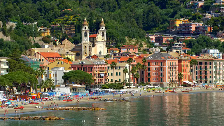
Fishing village on the Baia del Sole: San Matteo church, the old tower, lanes on the sea, a Blue Flag…
Discover →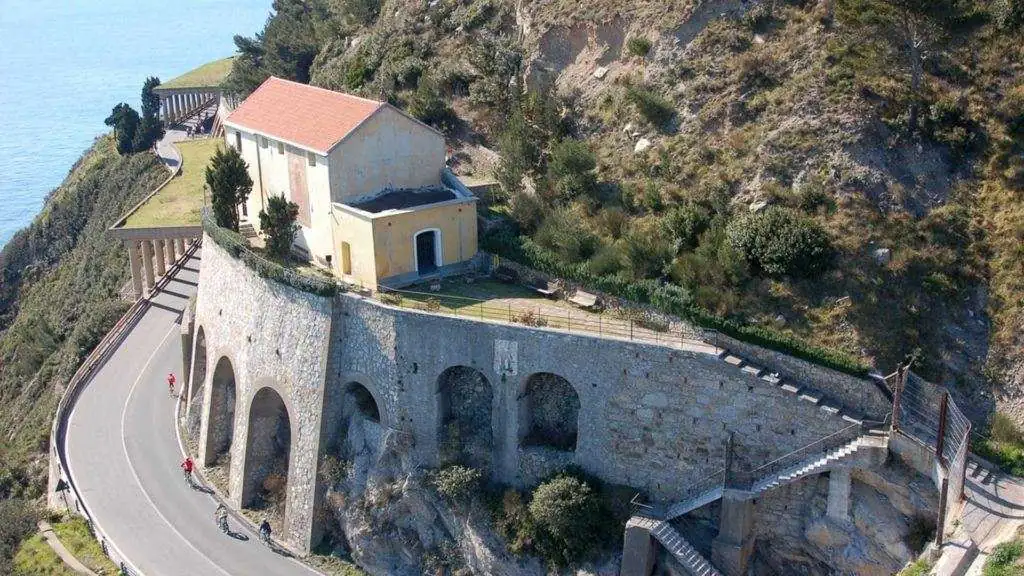
From Laigueglia to Thor Heyerdahl's village and Capo Mele lighthouse: trail, times, ascent, Madonna delle Penne chapel and a loop via Andora.
From Laigueglia you only need to leave the beach and climb for less than an hour to reach a different world: the medieval hamlet of Colla Micheri, where explorer Thor Heyerdahl lived, and the headland of Capo Mele, with its lighthouse and the chapel of the Catalan coral fishermen. This guide brings together the places and the trail, with what you need to know before setting off.
Colla Micheri is a handful of stone houses around a small square, on the saddle of the hill between Laigueglia and Andora. The Via Iulia Augusta, the Roman road linking Liguria with Gaul, passed through here, and the hamlet grew up as a stopping point along it. On the square stands the church of San Sebastiano, easy to spot thanks to its dark red colour.
In 1958 the village was almost abandoned, with no road, running water or electricity. That is when Thor Heyerdahl chose it: the Norwegian explorer who became famous for crossing the Pacific on the Kon-Tiki raft. He restored the houses in their original style and returned between expeditions for more than forty years. He died in Colla Micheri in 2002 and his ashes rest here.
The hamlet is lived in today and the houses are private: walk quietly and respect courtyards and gardens. There are no shops or cafés, so bring water and something to eat.
From the church of San Matteo, follow the Via Aurelia west towards Andora until the signposted turn-off on the right for Colla Micheri. The paved road climbs with a couple of hairpins; at one bend a sign points to a steep flight of steps. Climb it and join path number 2, which leads straight to the village with no chance of getting lost.
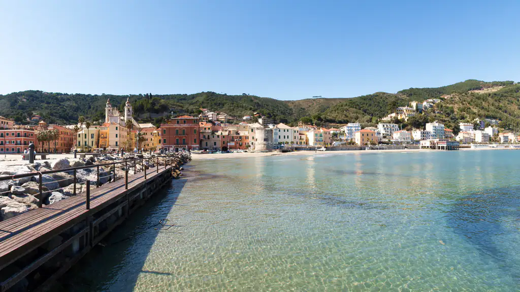
It is short but steep: fit walkers arrive in under an hour. A few minutes above the square, on the ridge, you find the ruins of an old windmill and a clearing with a view over the whole Baia del Sole: Laigueglia, Alassio, Albenga and Gallinara island. Go back the same way or carry on towards Capo Mele.
From Colla Micheri a path on the left enters the woods and runs just below the ridge to the road that leads to the Air Force station on Capo Mele, known locally as the “semaforo” (signal station). In places the view opens onto the open sea and, on clear days, the coast to the west.
The lighthouse was first lit in 1856. The tower is 25 metres tall and the light reaches 24 nautical miles. It is run by the Italian Navy, lies within the municipality of Andora and cannot be visited: you see it from outside and from the sea.
On the Laigueglia side of the headland, on a rock sheer above the sea, is the chapel built in the 17th century by the Catalan coral fishermen who had settled in the village. Its name comes from an inscription at the base of the Madonna statue; there is a fresco on the wall facing the sea. You can also reach it directly from the Via Aurelia by a flight of steps. Every 5 August a ceremony for sailors and fishermen is held here.
For a full day out, you can close a loop of about 10 km. From the Capo Mele signal station, go back along the road to the first junction and descend to Marina di Andora. From there follow the road towards the motorway and take the lane on the right to Andora castle, with its church next door. From the castle gate the medieval path, marked with a red diamond, follows the old Roman road back to Colla Micheri. From there, descend to Laigueglia the way you came.
Total ascent is about 590 metres, with a high point of 220 metres. The ground is stony in places: wear hiking shoes.
Beaches, events, trains and parking are all in our Laigueglia guide; to continue along the bay, see Alassio.
Nearby
Riviera di Ponente › Riviera delle Palme
Fishing village on the Baia del Sole: San Matteo church, the old tower, lanes on the sea, a Blue Flag…
Discover →