
Riviera di Levante › Golfo dei Poeti
Tellaro
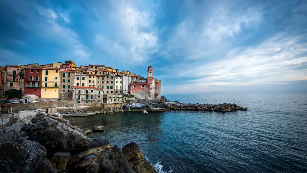
The cliff-top village on the Gulf of Poets: San Giorgio on the rocks, the bell-ringing octopus, alleys, coves and trails…
Discover →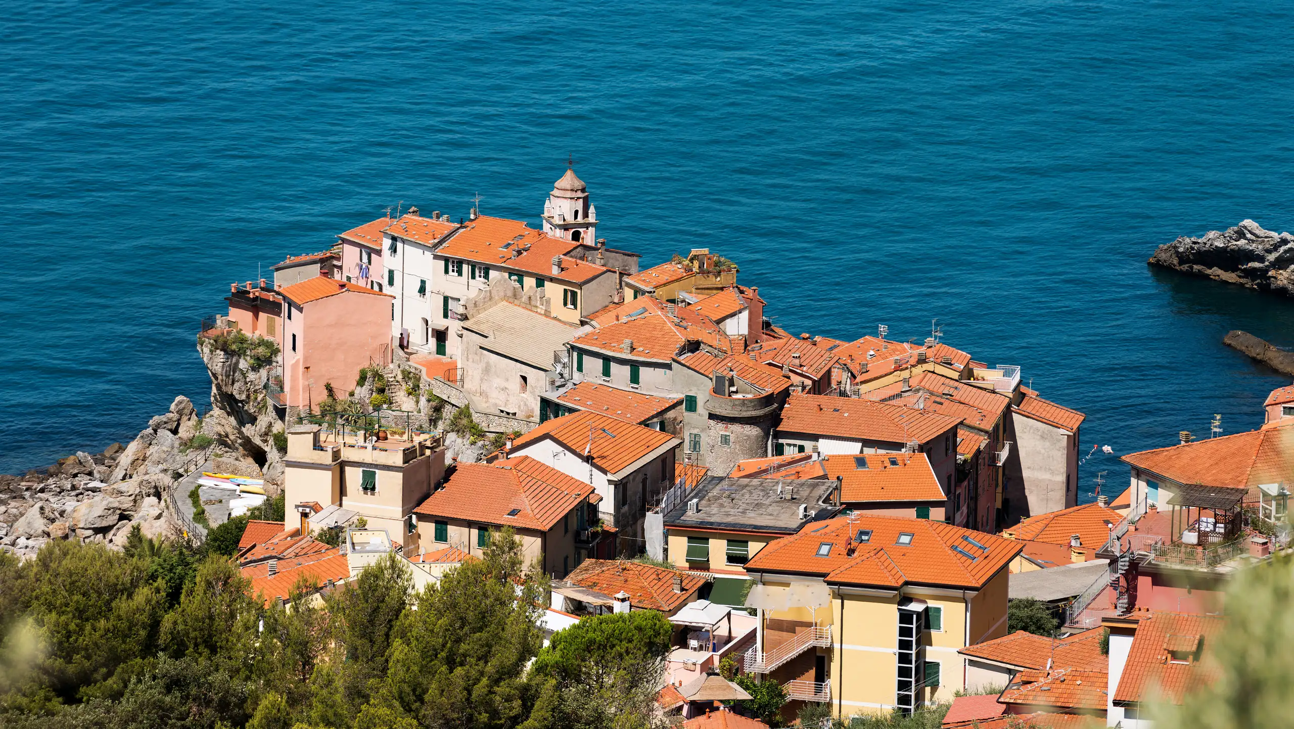
CAI trails from Tellaro to Lerici, La Serra, Barbazzano, Fiascherino and Montemarcello: routes, walking times, difficulty and the bus back.
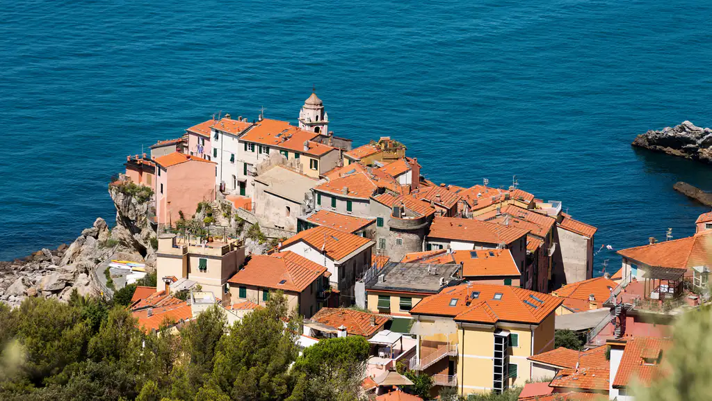
Tellaro is the end point of some of the finest walks on the Gulf of Poets. From the hills of the Montemarcello-Magra-Vara park, old mule tracks drop through centuries-old olive groves, dry-stone walls and Mediterranean scrub, with the sea always in front of you. This guide covers the main routes between Tellaro, Lerici, La Serra, Fiascherino and Montemarcello, with CAI trail numbers, walking times and practical tips.
Trails are waymarked in red and white with CAI and park numbers. Distances are short, but nearly always on steps and stony ground: wear hiking shoes with a good grip, not smooth trainers. In summer the upper sections are exposed to the sun: carry at least a litre of water per person.
Some hikers report that the lowest stretch towards Tellaro has been damaged by small landslides. Before you go, check trail conditions with the Lerici tourist office or on the Montemarcello-Magra-Vara park website, and avoid the trails during weather alerts or after heavy rain.
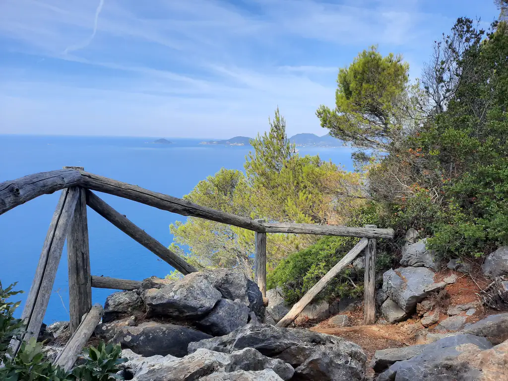
This is the classic route and the one the municipality of Lerici suggests from Tellaro. From the upper village climb on trails 431 and 433 to the ruins of Portesone, an abandoned farming hamlet. A short stretch of trail 461 takes you to La Serra, a hill village with one of the widest views over the gulf. From here descend to Lerici, for example on trail 463.
Walked the other way, from Lerici to Tellaro, it has the advantage of ending by the sea: a swim at the Marina, then the bus back. Guided walks covering the full Lerici–Barbazzano–Portesone–La Serra–Tellaro loop count about 9 km and 4 hours of walking.
Along trail 433, a detour on trail 432 leads to the ruins of Barbazzano, the village Tellaro’s founders came from, destroyed by Saracen raids. Among the olive trees stand a tower, the old gate and the remains of a small church of San Giorgio, still linked to the sea by old mule tracks.
From Barbazzano a short but sometimes steep path drops to Fiascherino. The municipality gives a maximum of 2 hours. Fiascherino is the cove where D. H. Lawrence lived in 1913–14: in summer you can end with a swim and walk back to Tellaro along the road in about ten minutes.
Zanego lies in the green hills of the park above Tellaro. From here follow trail 433 and then 439 or 466 down to the village: about 2 hours, almost all downhill, with constant sea views. Precisely because it is downhill, take care on steps that are wet or covered in pine needles.
Trail 433 continues south to Montemarcello, the ridge-top village on the headland, in the municipality of Ameglia. This is the longest and toughest section: variants that drop to Punta Bianca and climb back up have been recorded by hikers at 13–15 km, 3–5 hours and several hundred metres of ascent. Allow a full day and check the route on an up-to-date map before you go.
From the ridge the view takes in the mouth of the Magra, the Apuan Alps and, to the west, Portovenere and its islands.
Nearby
Riviera di Levante › Golfo dei Poeti
The cliff-top village on the Gulf of Poets: San Giorgio on the rocks, the bell-ringing octopus, alleys, coves and trails…
Discover →