Walking from Portofino to San Fruttuoso: route, time, elevation, difficulty, closed trails in 2026 and the boat back.
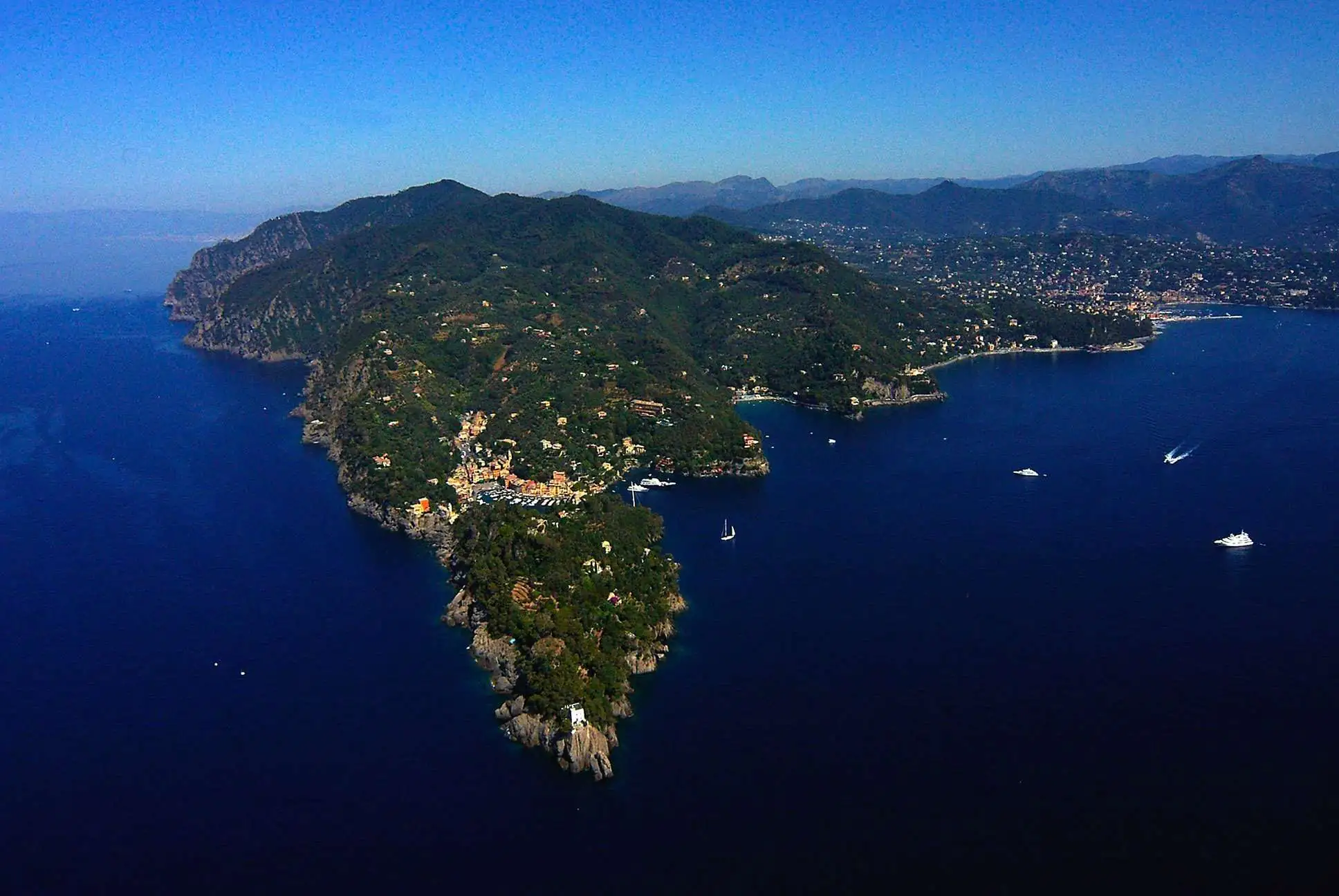
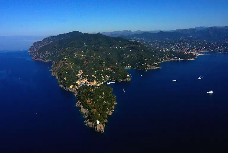
The Portofino Park headland seen from above
Distance
about 4 km one way
Time
about 2 hours2¼ hours at an easy pace
Elevation
roughly 250–280 m up and the same down
Difficulty
hiking gradeE), steps and rocky ups and downs
Waymark
two red dots
Return
on foot by the same pathor by boat from San Fruttuoso
The trail from Portofino to San Fruttuoso is the best-known walk in the Portofino Regional Park: it starts near the Piazzetta, crosses the woods above the headland’s sea cliffs and drops into the cove of the abbey, which you can only reach on foot or by sea. It is not a flat stroll, but it is not a hard hike either: with proper shoes and enough water, anyone used to walking can do it. Here is the route, timing, difficulty and how to get back.
By Italian Riviera editorial team·Updated on ·4 min read
The route, stage by stage
From Portofino to the Cappelletta
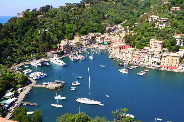
Start in the upper part of the village, behind the Piazzetta: follow signs for San Fruttuoso and the two-red-dot waymark. The first section is the hardest, a long flight of steps between villas, olive groves and dry-stone walls up to the Cappelletta. Turn around for a view down onto the harbour.
Vessinaro, Prato and Ruffinale
After the climb, the path contours along the southern side of the headland with gentler ups and downs, through the localities of Vessinaro, Prato and Ruffinale. You walk through holm oak woods and Mediterranean scrub, with glimpses of the open sea. This is the most pleasant stretch: little effort and plenty of shade.
Base 0 and the descent to San Fruttuoso
Next comes Base 0, a saddle with the remains of old military positions and the high point of the route. From here you drop through the woods on zigzags and steps to San Fruttuoso bay: the abbey, the tower and the beach appear suddenly between the trees. The descent is steep and stony, so take care if the ground is wet.
What you will find at San Fruttuoso
The cove holds the Abbey of San Fruttuoso, with its cloister, the Doria tombs and the watchtower, a small pebble beach and a few places to eat. On the seabed, inside the Marine Protected Area, is the Christ of the Abyss, the bronze statue placed in 1954: you can see it on a guided dive with a local dive centre.
Walk in early and you will find the bay almost empty; from mid-morning the boats from Camogli, Portofino and Santa Margherita arrive and the beach fills up.
How to get back
On foot: the same trail in reverse, about two more hours. The climb from San Fruttuoso to Base 0 is the hardest part of the day.
By boat to Portofino or Santa Margherita: Servizio Marittimo del Tigullio links San Fruttuoso with Portofino, Santa Margherita and Rapallo on seasonal timetables. Check the last departure on Traghetti Portofino before you set off.
By boat to Camogli:Golfo Paradiso boats go to Camogli, where you can catch the train back to Santa Margherita or Genoa.
Boats depend on the sea and can be cancelled in rough weather. If the forecast is uncertain, keep enough energy to walk back.
Practical tips
Shoes: hiking shoes or at least trainers with a good grip. No flip-flops: steps and stones are slippery.
Water: at least one litre per person, brought with you.
When: spring and autumn are ideal. In summer start early: after 10 am the heat on the exposed sections is tough.
With children: fine for kids used to walking; the first uphill stretch is long.
Trail notices: check closures and ordinances on the Portofino Park website before you go.
Closed trails and alternatives
On the Camogli side, the famous Passo del Bacio trail between Le Batterie and San Fruttuoso and the so-called Via dei Tubi are closed to walkers by order of the Camogli council, still in force in 2026. Many older articles and blogs still recommend them: do not go. To reach San Fruttuoso from Camogli, use the open inland routes via Pietre Strette, or take the boat.
For a longer loop, walk up from Portofino towards Pietre Strette, the pass in the middle of the headland, and descend to San Fruttuoso from there. It is more demanding and you will want a park map.
FAQ
Frequently asked questions about the Portofino–San Fruttuoso hike
How long does it take to walk from Portofino to San Fruttuoso?
About two hours for 4 km, with 250–280 m of climbing. Add time for photo stops.
Is the trail difficult?
It is a moderate hiking trail: steps, ups and downs and a steep descent to the bay. No equipment needed, but you do need proper shoes and some fitness.
Can I come back by boat?
Yes, boats leave San Fruttuoso for Portofino, Santa Margherita, Rapallo and Camogli on seasonal timetables, and only in calm seas.
Is the Passo del Bacio open?
No. The Passo del Bacio path and the Via dei Tubi, on the Camogli side, are closed by ordinance in 2026 as well. The trail from Portofino does not use them.
Can I do the hike in summer?
Yes, but start early, carry plenty of water and wear a hat. In the middle of a hot day it is hard going.
Where to stay
Where to stay in Portofino
All places to stay in Portofino on Booking: compare prices and availability.