The Maremonti path on the old railway: 5.5 flat km, mostly in tunnels. The best stretch, official closures and how to get back by train.
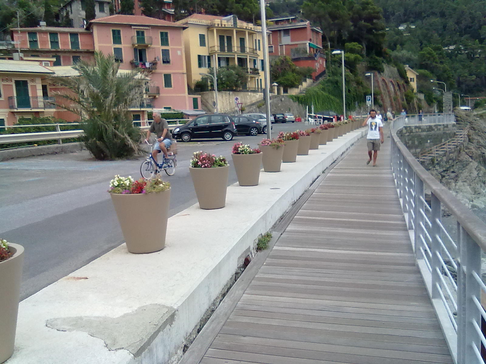
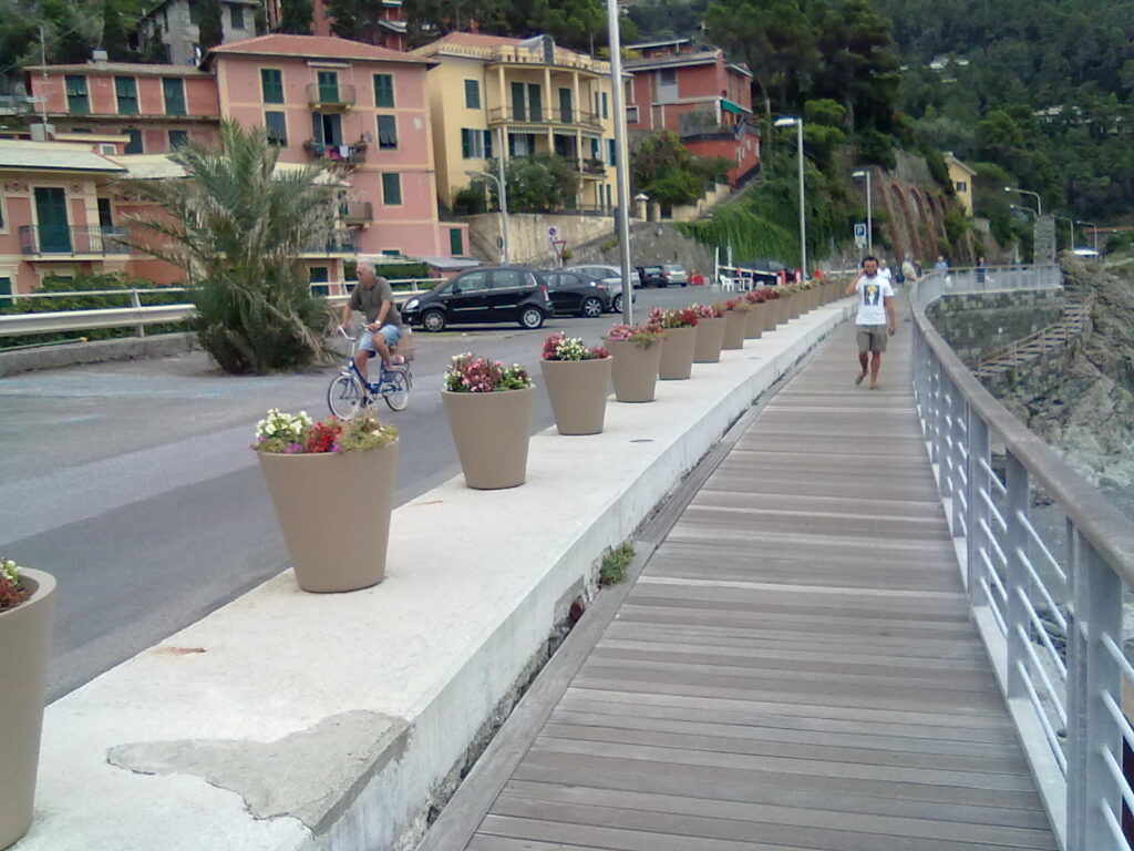
La passeggiata della pista ciclabile a Bonassola
Length
about 5.5 kmhalf Levanto–Bonassola and half Bonassola–Framura
Surface
tarmacflat, lit tunnels
Who for
walkerscyclists, runners, families with children
Time
1.5–2 hours on foot end to endabout half an hour by bike
Closures
orange or red weather alertssea storms and works
Getting back
by train from FramuraBonassola or Levanto stations
The Levanto–Bonassola–Framura bike path, officially the Ciclopedonale Maremonti, follows the old seaside track of the Genoa–La Spezia railway, abandoned in 1970. It is flat, paved and mostly in tunnels, with Bonassola halfway along. Here is where to start, which stretch is best, when it is closed and how to get back by train.
By Italian Riviera editorial team·Updated on ·4 min read
History: from railway to bike path
The first railway along this coast ran right above the sea, through a series of tunnels cut into the cliffs. In 1970, when the line was doubled, it was moved inland and the old track bed was abandoned. The Levanto–Bonassola section reopened as a walking and cycling path on 14 March 2010, the Bonassola–Framura section on 2 July 2011. Since 2015 it has been called the Ciclopedonale Maremonti, a name picked in a competition among local schools.
You will find different lengths quoted, from 5 to 6 km, depending on where the count starts in Levanto and ends in Framura. The figure most often given is 5.5 km.
The route section by section
Levanto to Bonassola
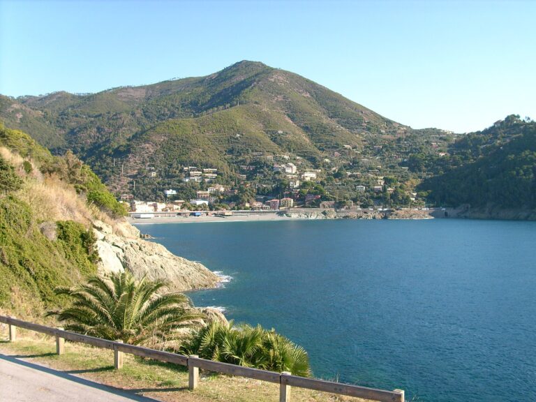
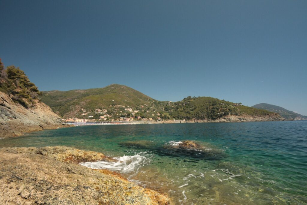
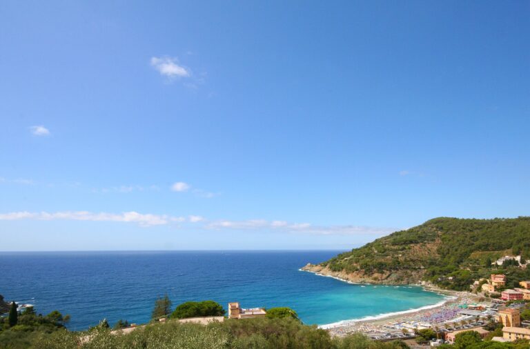
In Levanto the path starts at Vallesanta, at the western end of the seafront, beyond the small harbour. This is the best stretch: tunnels alternate with short open-air sections above the cliffs, with openings onto the sea and small rocky coves you can reach on foot. As you leave the last tunnel you are on Bonassola’s seafront, facing the beach. It is about 2.5 km, half an hour on foot without stops.
Bonassola
Through the village the path runs along the sea, shared with families and beachgoers: slow down and give way to pedestrians. It is the place for a break, a swim or a short walk to the Madonnina della Punta chapel, about one kilometre there and back.
Bonassola to Framura
The second stretch, again around 2.5 km, is almost entirely in tunnels with little view: on foot it can feel long, by bike it goes quickly. It is cool in the tunnels even in August, so bring a light sweater. In a few places you may have to get off and push. You come out in Framura above the small harbour, near the station: a lift links the path with the harbour, where you can swim off the rocks.
When it is closed
Closures are what other guides leave out. The Comune di Bonassola has a standing order: during orange or red hydrogeological alerts and sea storms, the path is closed in both directions, towards Levanto and towards Framura. On top of that come closures for works: in 2026 the Framura section was shut from February to April and again from late June to late August.
Before setting off, check the notices (ordinanze) on the Comune di Bonassola website and the day’s weather alert. The tunnels are lit, but we found no official opening hours: for evenings and nights, ask locally.
Bikes, kids and the train back
Levanto has several bike hire shops, including e-bikes and children’s bikes; in summer it is worth booking. The path is safe for children because it is flat and closed to cars, but at midday in summer it gets busy: keep them close in the tunnels and where the path comes out onto the seafronts.
You do not need to go there and back. Framura, Bonassola and Levanto all have stations on the Genoa–La Spezia line, and regional trains take a few minutes between them. An easy plan: walk from Levanto to Framura and return by train, or do just the scenic Levanto–Bonassola stretch and come back the same way. Timetables on Trenitalia.
Planned extensions
For years there has been talk of extending the path to Monterosso, reusing an old single-track tunnel on the east side of Levanto, and to Deiva Marina, where part of the old tunnel is still used by the railway and one section has collapsed. Both are still at the study stage, with no dates.
FAQ
Frequently asked questions about the Levanto–Bonassola–Framura bike path
How long is the Levanto–Bonassola–Framura bike path?
About 5.5 km. Sources give 5 to 6 km depending on the start and end points.
Where does it start in Levanto?
At Vallesanta, at the western end of the seafront, beyond the small harbour.
Which is the most scenic section?
Levanto–Bonassola, with open-air stretches above the cliffs. Between Bonassola and Framura you are almost always in a tunnel.
Is the path open all year?
Usually yes, but it closes during orange or red weather alerts, sea storms and works. Check the Comune di Bonassola notices.
Can I do it with children?
Yes: it is flat, paved and closed to cars. In summer it is busy, so keep children close in the tunnels.
How do I get back without retracing my steps?
By train: Framura, Bonassola and Levanto are on the same line, a few minutes apart.
Where to stay
Where to stay in Bonassola
All places to stay in Bonassola on Booking: compare prices and availability.