Riviera di Ponente › Riviera delle Palme
Tovo San Giacomo
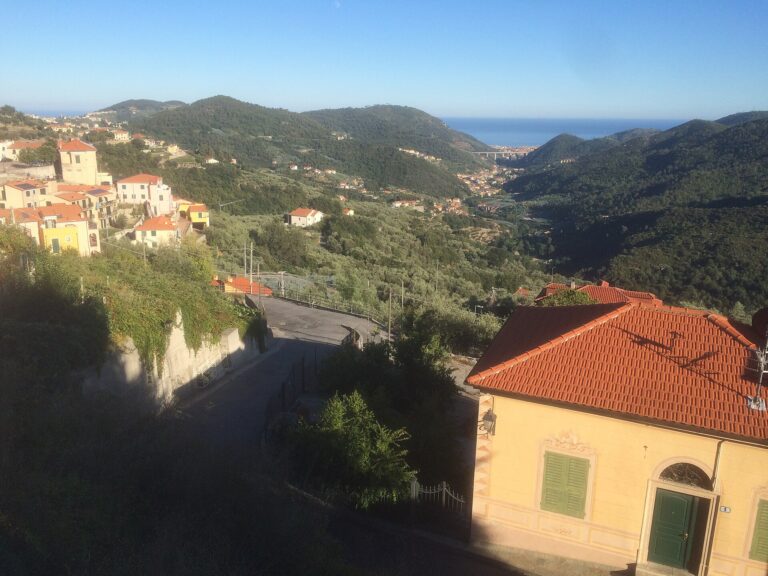
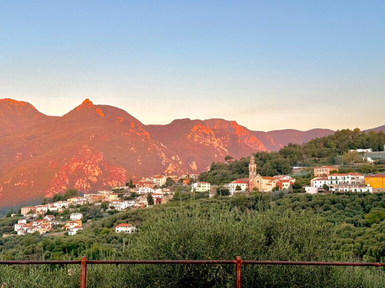
Val Maremola village 3 km from the sea: Tower Clock Museum, Castello dei Folchi, Via del Ferro, how to get…
Discover →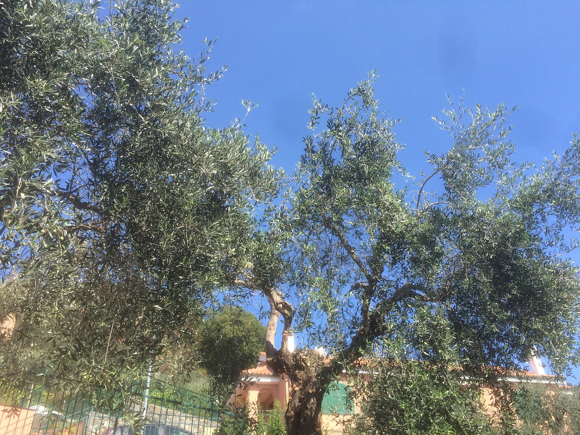
Four routes from Tovo San Giacomo: Castello dei Folchi, Via del Ferro, Promontori Tovesi and Val Maremola Trail, with starting points and what to check.
From Tovo San Giacomo start four walking routes that the municipality describes on its website: a short loop to the Castello dei Folchi, a walk on the old line of the Via del Ferro (the old iron road), a long circuit among olive groves and viewpoints as far as Monte Grosso, and the route of a trail race. They are hill and valley-floor paths, a few kilometres from the sea. Here we compare them by starting point, what you see and what is worth checking.

This is the shortest walk, good if you want to add a short hike to a visit to the hamlet. The municipality describes it as a short loop, to be done in any season: in winter on fine days, in summer early in the morning or in the evening. It starts from the square in Bardino Vecchio, which is overlooked by the oratory of San Carlo Borromeo and the church of San Giovanni Battista. You cross the cemetery, entering by the little side door of the church and leaving by the gate.
Then the road, partly unpaved, becomes steep. After about a hundred metres you leave the track for a steeper path among the pines, which leads to the top of the hill, where the ruins of the Castello dei Folchi stand, a small 15th-century fortification. On the way down you pass, on a drop, a cross with the inscription «Ricordo anno santo 1933 – 8-12-1934» (in memory of the holy year): crosses like this were put up high, to bless the fields. The return is on the Sentiero Liguria, among olive groves and woods. The descent on the track is steep: wear shoes with good soles.

This is the simplest walk. It starts from Piazza Don Zunino, in front of the church and the town hall; you go down Via Roma, pass the chapel of San Martino and head towards the stream. Here you soon meet the old Mulino della Bringhiera (the old mill). Once across the bridge (the medieval one was destroyed by a flood in 1933), you continue on a small road, partly asphalted, along the water, under a stretch of raised irrigation channel, as far as the locality of Terra Molino.
From Terra Molino you can climb along Via Crescia to Bardino Nuovo and visit the Tower Clock Museum, or carry on along the Maremola: the path enters the municipality of Magliolo and becomes a hiking route as far as the hamlet of Isallo. There are the ruins of an ironworks, active from 1730 to about 1860: in the 18th and 19th centuries the muleteers brought iron ore from the island of Elba and scrap metal for smelting up here from the beach at Pietra Ligure. The road takes its name from this use.
This is a more complex route, all ups and downs, suited to runners and to those who want to walk for a long time. You start from Piazza Don Zunino and go down Via Roma; above Piazza Costituzione you take Via Persego, a small country road with an information totem at the start, as far as Casa Boragni, where a fine mule track through the olive trees begins. With stretches of dirt road you go round the Cima della Brona and climb to the Monte Grosso lookout, where there is a small wooden cross.
Nearby there is a picnic area, from where the detour starts to a wetland and to the south-east sub-summit. You return following the white-and-red signs towards Via Uliveto, descend into the Bottassano valley and climb back through the olive groves to Bardino Vecchio, where you pass the ruins of the Castello dei Folchi. You come back through the hamlet of Poggio to the square where you started. The municipality offers the map to download, with the details: it does not give the length, elevation gain or times.
The Val Maremola Trail is a trail race held in February that passes through the valley and nearby villages. On the municipality’s website and on that of Finale Outdoor Region the routes have different figures, so we do not give a single one: the sources do not agree. The Tovo section climbs steeply at once from Piazza Don Zunino towards the Poggio, descends into the Bottassano area among the olive trees, reaches Gorra (in the municipality of Finale Ligure) and the church of San Martino, then arrives at Verezzi and the sea at Borgio, passes the Sentiero delle Ramate and climbs to Monte Grosso.
The hardest part is the climb called «Bruxia Crava»: about 2.5 km with 250 metres of elevation gain, right next to the border with Giustenice. It ends by wading the stream and following the last stretch of the Via del Ferro to the square. The municipality identifies it as the hardest part of the course, because it comes after about 20 km.
You will find other routes in the area in the guide to hiking in Liguria; for a day at the beach see Pietra Ligure.
Nearby
Riviera di Ponente › Riviera delle Palme
Val Maremola village 3 km from the sea: Tower Clock Museum, Castello dei Folchi, Via del Ferro, how to get…
Discover →Guide
What is the weather in Tovo San Giacomo today, tomorrow and over the next 10 days: hourly forecast, wind, rain…
Discover →