Riviera di Ponente › Riviera delle Palme
Bardineto
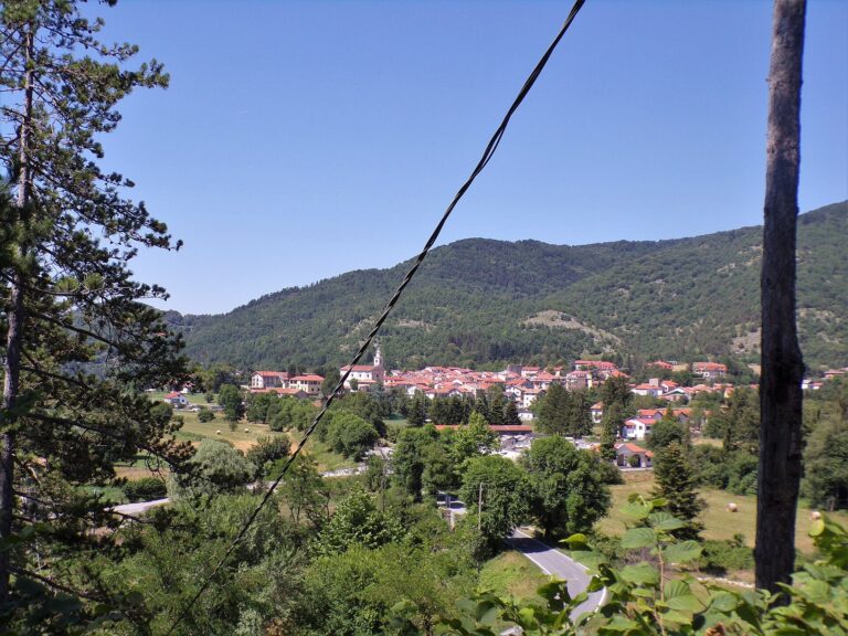
Mountain village at 711 m in the Alta Val Bormida: Monte Carmo, Rocca Barbena, Romanesque churches, mushrooms and the real…
Discover →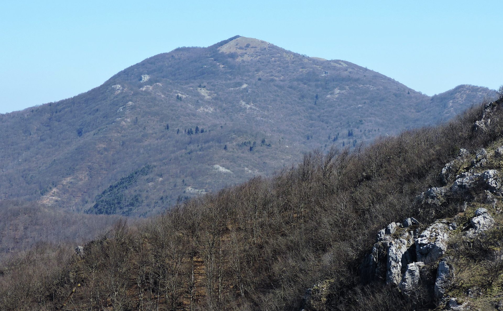
Monte Carmo, Rocca Barbena, Giogo di Toirano and the Alta Via: routes, verified distances and climbs, and warnings before you set off.
From Bardineto start some of the longest walks in the Savona hinterland: Monte Carmo, the Rocca Barbena and the network of paths of the Alta Via dei Monti Liguri. Information online is scattered across route-sharing sites and personal reports; here you find the routes in order of effort, with the data we could verify and the warnings to read before you set off.

This is the best-described route. It starts at Bardineto castle, at 711 metres, and makes a loop of 22 kilometres with about 1,350 metres of climbing: six to eight hours of walking, graded E (hiking). It passes, in order, Casa Cormore (1,024 m), the Acquetta forest, the Sella di Monte Grosso (1,237 m), the Alta Via dei Monti Liguri, the Bric Agnellino (1,335 m), the Bric Avicello (1,278 m), the summit of Carmo (1,389 m), the Giogo di Toirano, the Case dei Funghi and the chapel of San Nicolò, from where you return to the castle. The waymark is the Sentiero Balcone dei Balzi Rossi, with other marks overlapping.
If you do not have six hours in your legs, you can shorten it by passing through the village. The author’s website offers a track to download: check the date of the last revision (January 2026) and the latest comments for paths that may no longer be passable.

The Giogo di Toirano is a pass at 801 metres on the road between Borghetto Santo Spirito and Bardineto. There is a picnic area with information panels; the signs show the end of a stage of the Alta Via dei Monti Liguri. The north side is covered in beech woods, the south side is drier and warmer. It is the easiest starting point for Monte Carmo if you come from the coast; from Bardineto you can also walk up to it via the chapel of San Nicolò, following the signs.

The second route is a loop of about 28 kilometres, described by a hiker in 2023, which starts from a car park near the cemetery and passes the Bric Tencione, the Bric Schenasso, the Colle di Scravaion, the Rocca Barbena, the Giogo di Toirano and Monte Carmo, then returns on a paved road. From the Bric Schenasso the view is wide, with the Alps in the background; from the Rocca Barbena you see the sea and the Ligurian Alps.
Warning: the same report says that waymarking is poor as far as the Bric Schenasso and that there are long stretches of dirt track; the white-and-red marks become frequent only from the Rocca Barbena towards Carmo. Climbing and times are not confirmed, so treat it as a full day for fit hikers, with a GPS track downloaded.
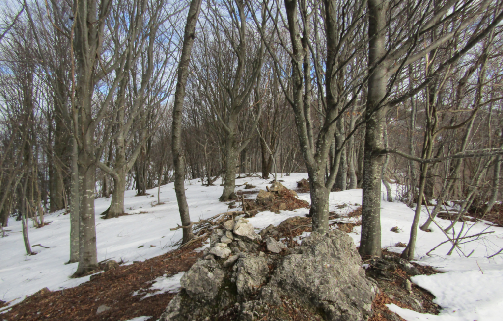
A few kilometres from Bardineto, in the municipality of Calizzano, lies the Barbottina regional forest: about 224 hectares of beech wood between the Colle del Melogno and the Giogo di Giustenice, at around 1,000 m. Bardineto’s territory borders this protected area and the European site that includes Carmo. The beech wood on the Carmo ridge is at its best in autumn.
For mountain bikes there is the Anello delle Quattro Cascine: about 18 kilometres through woods and dirt tracks, starting and finishing in Bardineto, in two parts (the Acquetta forests and the Muschieto valley). The highest point is about 1,258 metres. The surface is mixed, with gravel, earth and short asphalt stretches; after rain some points are muddy. Choose a bike with sturdy tyres and take water and food: there are not always places to refill. The climb figure given by the site is inconsistent, so we do not quote it.
After a walk, the easiest stops are the ethnographic museum and the church of San Nicolò in Bardineto, or the descent to Toirano for the Caves and the village. If you want the sea, Loano and Pietra Ligure are about half an hour away by road.
Nearby
Riviera di Ponente › Riviera delle Palme
Mountain village at 711 m in the Alta Val Bormida: Monte Carmo, Rocca Barbena, Romanesque churches, mushrooms and the real…
Discover →Guide
The weather in Bardineto today, tomorrow and for the next 10 days: hourly forecast, wind, rain and the climate month…
Discover →