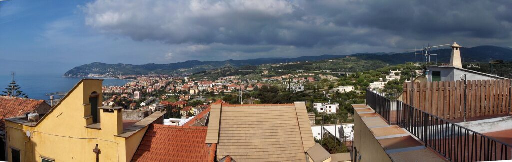
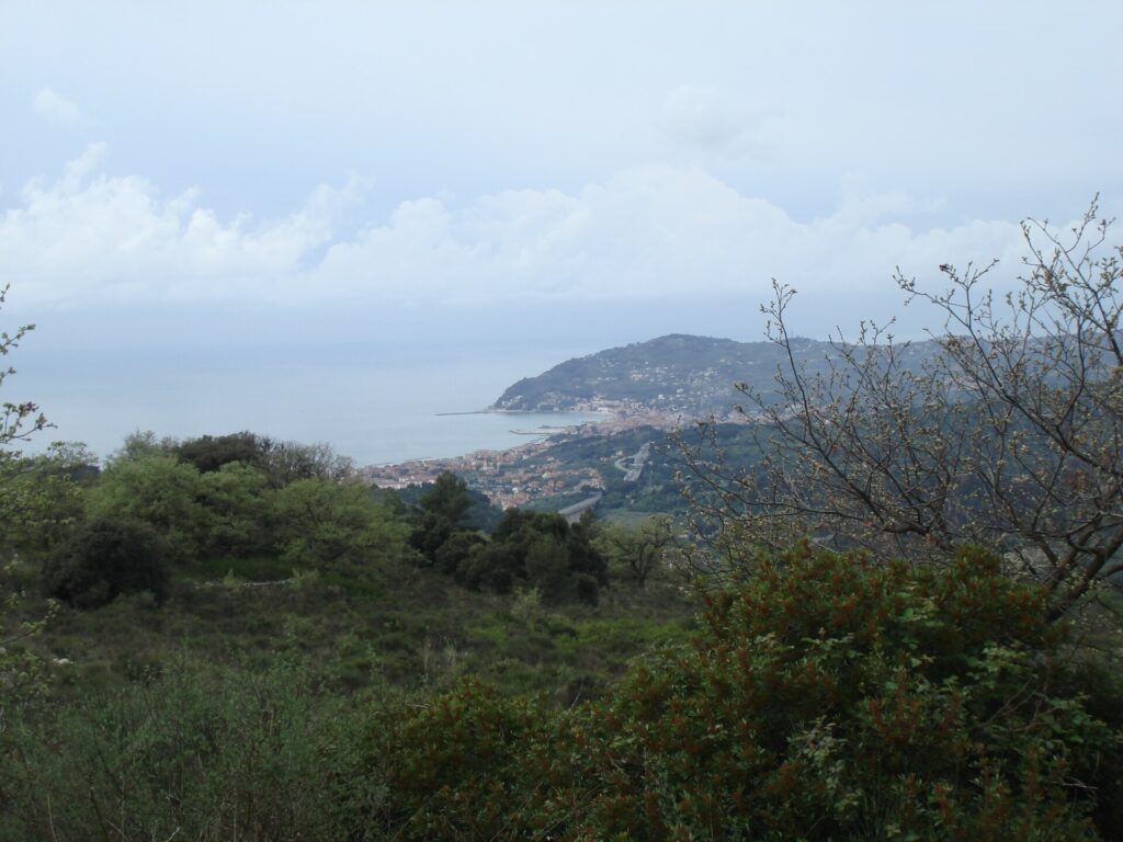
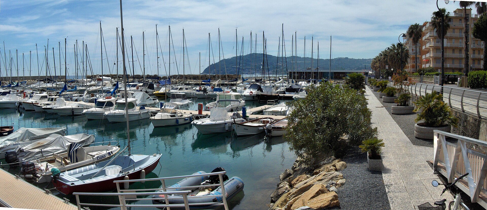
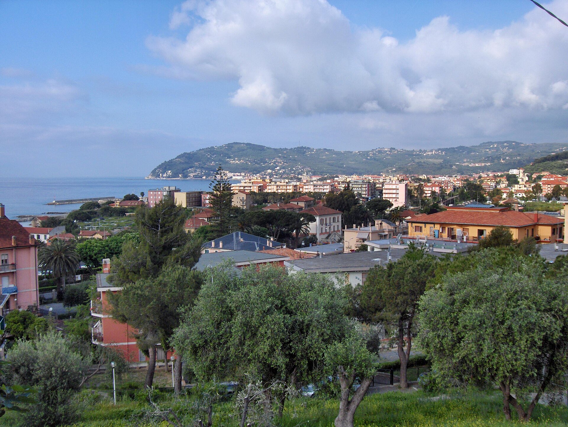
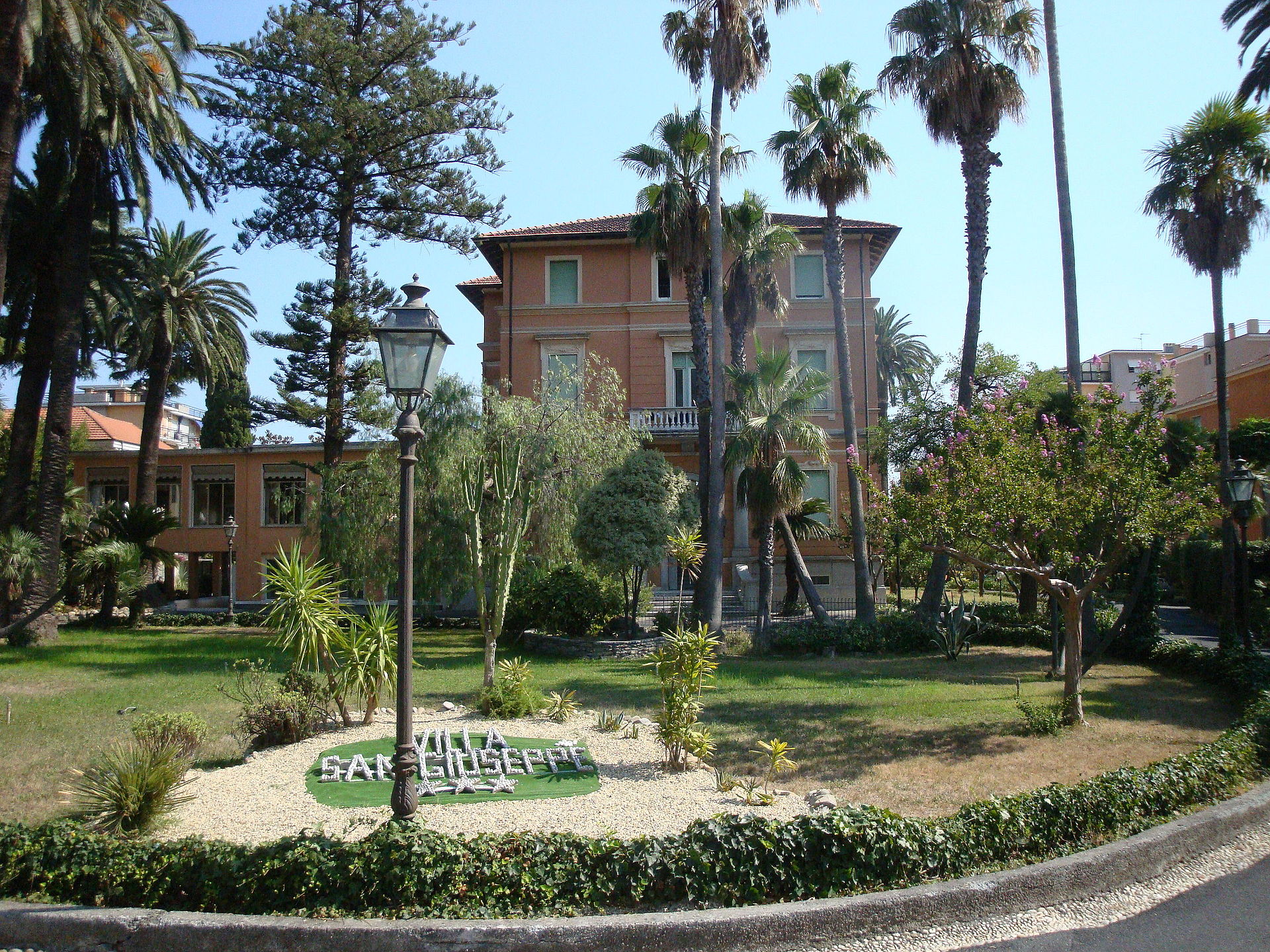
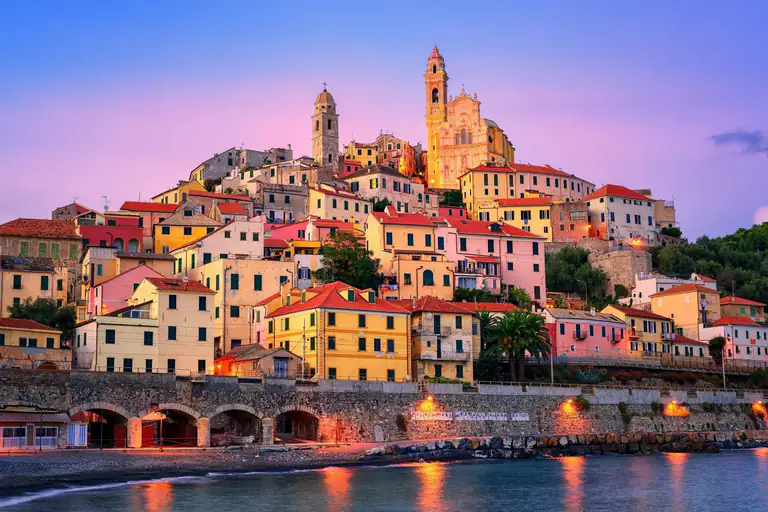
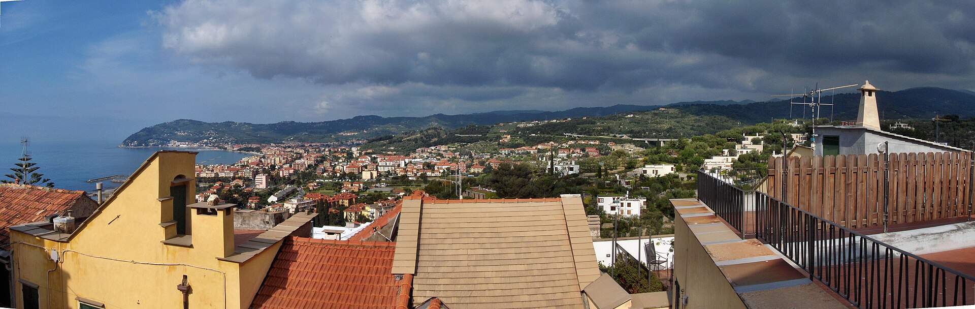
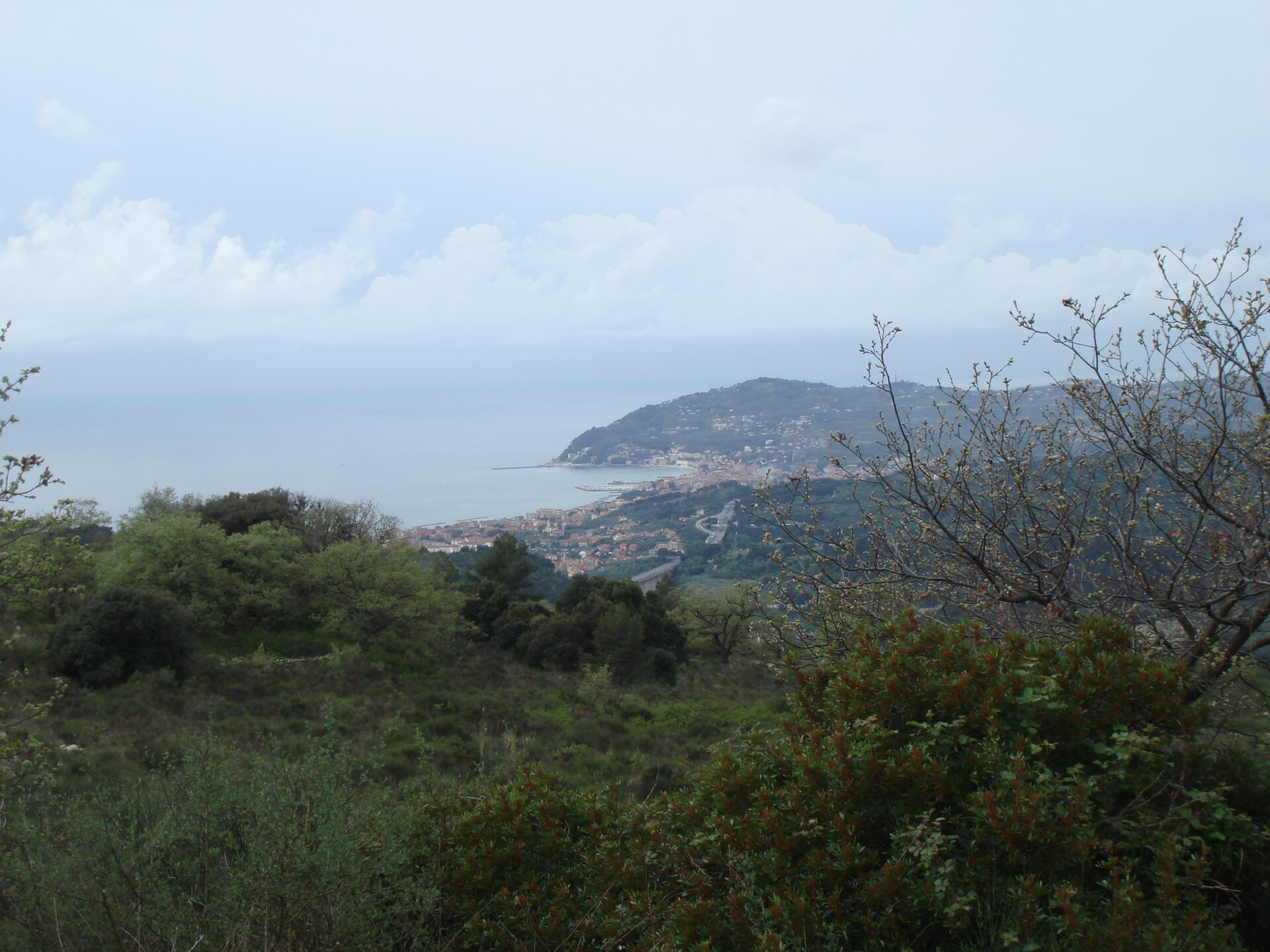
San Bartolomeo al Mare is a town of about 2,900 people in the middle of the Gulf of Diano, in the province of Imperia, between Diano Marina to the west and Cervo to the east. It has a seafront with gardens and bathing establishments, a centre cut by the Via Aurelia and, just behind, olive hills with hamlets, shrines and Roman remains.
People come for three reasons. The first is the calm sea, sheltered by breakwaters and good for families. The second is the new cycle path: since 2026 the old railway line is a flat, paved route linking Diano Marina, San Bartolomeo, Cervo and Andora. The third is the position, handy for exploring the Riviera dei Fiori without paying Diano prices.
One thing to know before you plan: there is no train station in town any more. The Cervo–San Bartolomeo stop closed on 11 December 2016 when the line was moved into a double-track tunnel, and the nearest station is Diano, about 2 km away. Below you will find how to get here, beaches, events and where to stay.
By Italian Riviera editorial team·Updated on ·9 min read
Where is San Bartolomeo al Mare?
San Bartolomeo al Mare is in Liguria (Riviera di Ponente, Riviera dei Fiori, province of Imperia).
The centre takes a couple of hours on foot. The sights are few and close together: the sea tower, the parish church, the oratory. With more time, climb towards La Rovere and the hamlets, where the oldest churches and the Roman site are. Church opening hours are not officially published: ask the tourist office (IAT) at Piazza XXV Aprile 1.
Torre di Santa Maria
This is the 16th-century watchtower on the seafront, at the corner of Via Capri. It has a round base and only one of the original two floors survives; it is lit at night. Around it is Piazza Torre Santa Maria, the meeting point for the mountain-bike routes and the place of the patron saint’s procession.
Lungomare delle Nazioni
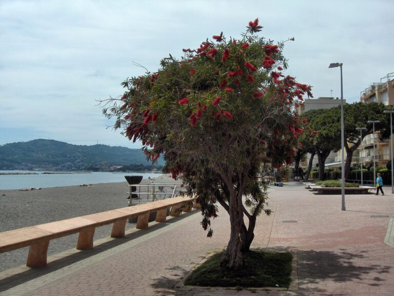
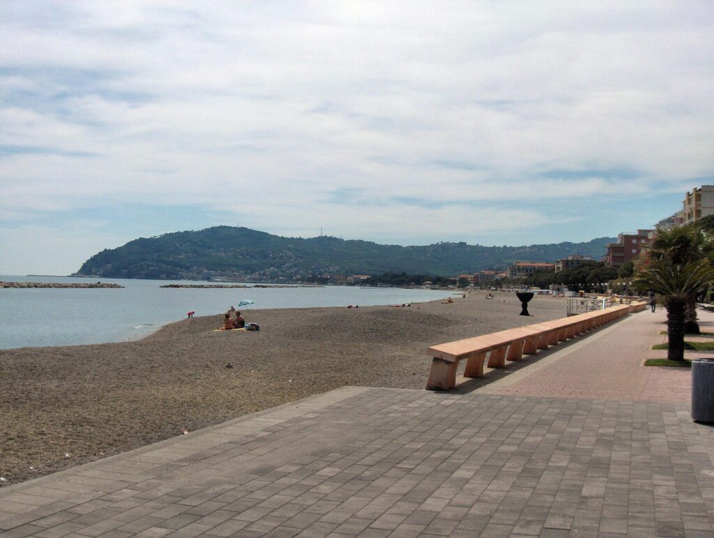
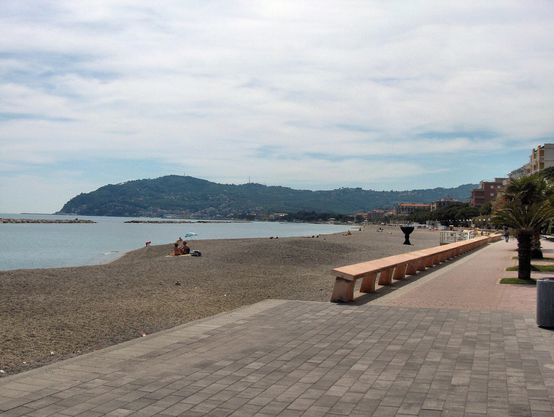
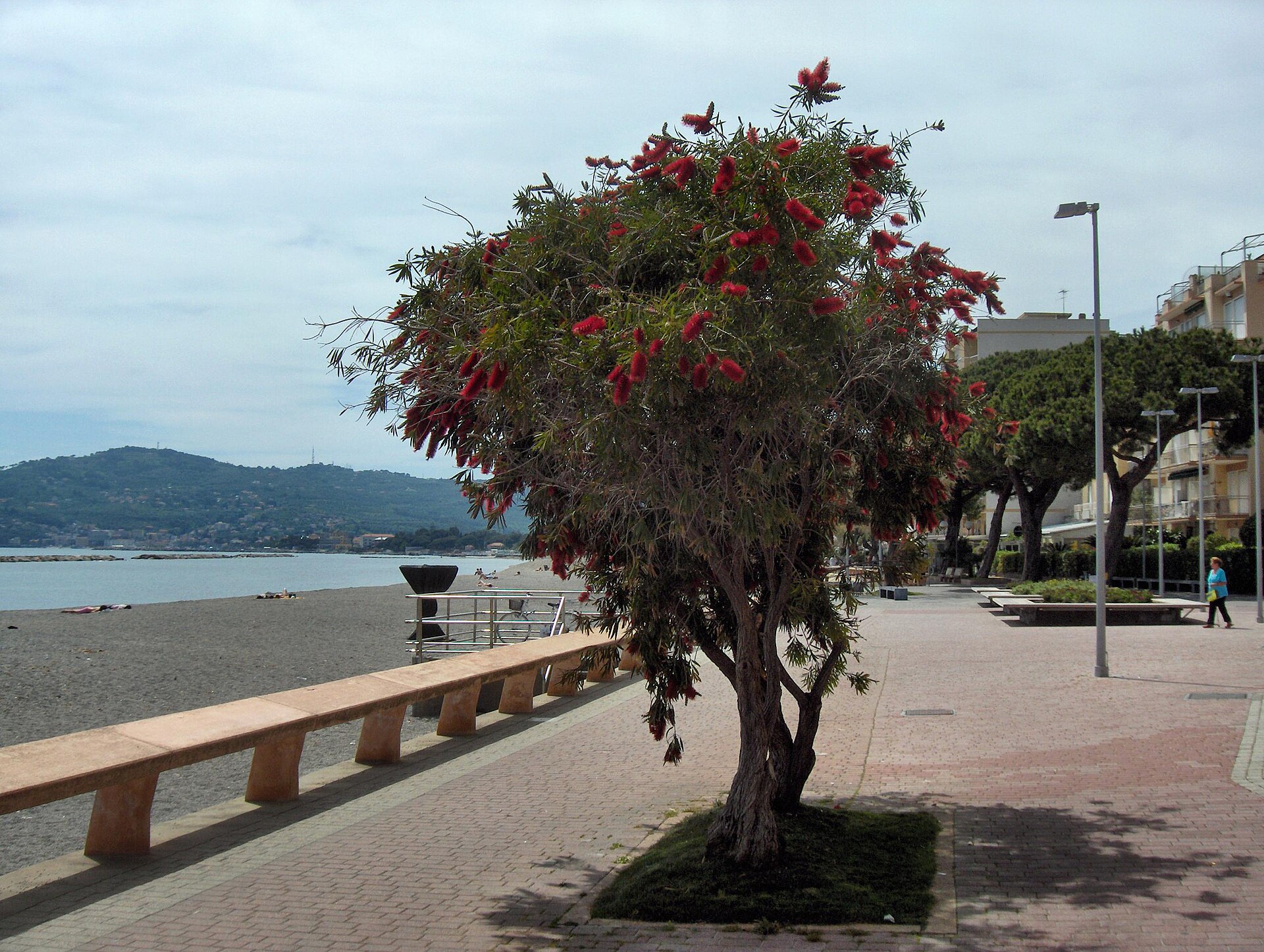
The pedestrian promenade runs along the sea, away from the traffic of the Aurelia. It has gardens, shaded stretches and playgrounds, so it suits a walk with small children. Towards Diano Marina the cycle path covers about three flat kilometres.
Parish church of San Bartolomeo
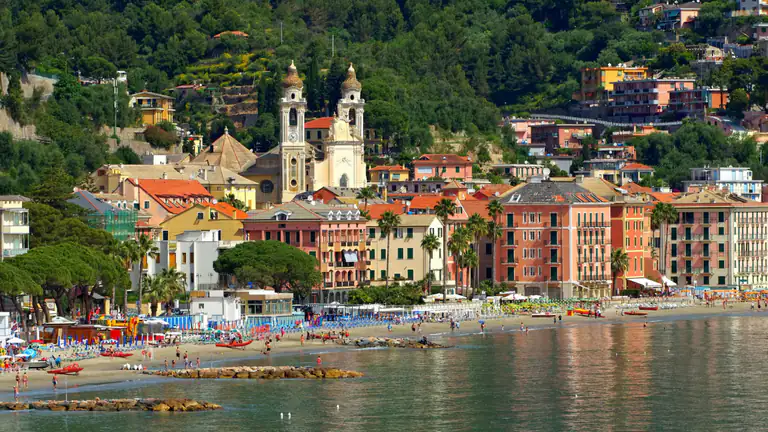
The church has late-medieval origins. It was damaged by the 1887 earthquake and rebuilt. The 14th-century bell tower with its spire survives from the old building. Inside is a polyptych of 1562 by the painters Raffaello and Giulio De Rossi. It stands near Piazza Verdi.
Oratory of San Michele Arcangelo
Near the parish church is the Baroque oratory of San Michele Arcangelo. From the 15th century to the early 1900s it was the seat of the Disciplinanti, the lay confraternities that ran the processions. You will usually see it from the outside only: ask the IAT whether it opens on particular days.
Sanctuary of Nostra Signora della Rovere
The sanctuary sits on the hill among olive trees. The first building may date from the 14th century, the present one from the 16th. For centuries it drew pilgrims from Liguria and southern Piedmont. The Rovere d’Oro concerts are held on its forecourt in July.
Roman mansio and the Rovere archaeological park
Next to the sanctuary are the remains of a Roman building used between the late 1st and early 3rd century AD. Scholars see it as a mansio, a staging post on the Via Julia Augusta, which some identify with Lucus Bormani; the identification is only a hypothesis and still debated. Excavations began in 1977. In 2016 the town carried out a landscape project with olive trees and paths; check whether it is open before you climb up. The finds are in the Civic Museum of Diano Marina. The cycle path passes nearby and the town’s coat of arms still carries the name “Julia Augusta”.
Poiolo and the oratory of Sant'Anna
Poiolo is a historic hamlet inland, one of the three old quarters together with Piazza Verdi and La Rovere. The 16th-century oratory of Sant’Anna holds a polyptych by Giulio De Rossi from about 1570. In June the village usually hosts the Corpus Domini flower carpets.
Pairola and Chiappa
Pairola has the church of the Madonna della Neve (16th century) and the oratory of Santa Caterina da Genova. Chiappa, the only official hamlet, has the church of Santi Giacomo e Mauro with a marble statue of the Madonna del Rosario. Reach them by car or bike; they are worth it for the olive-grove atmosphere more than for monuments.
The cycle path on the old railway
The old rail line is now a paved, flat path, open since 3 April 2026 and inaugurated on 15 May. It passes Piazza Aurora, a few minutes from the tower, and reaches Cervo and Andora. We have a full page on this stretch: read the guide to the Gulf of Diano cycle path.
Sea
Beaches of San Bartolomeo al Mare
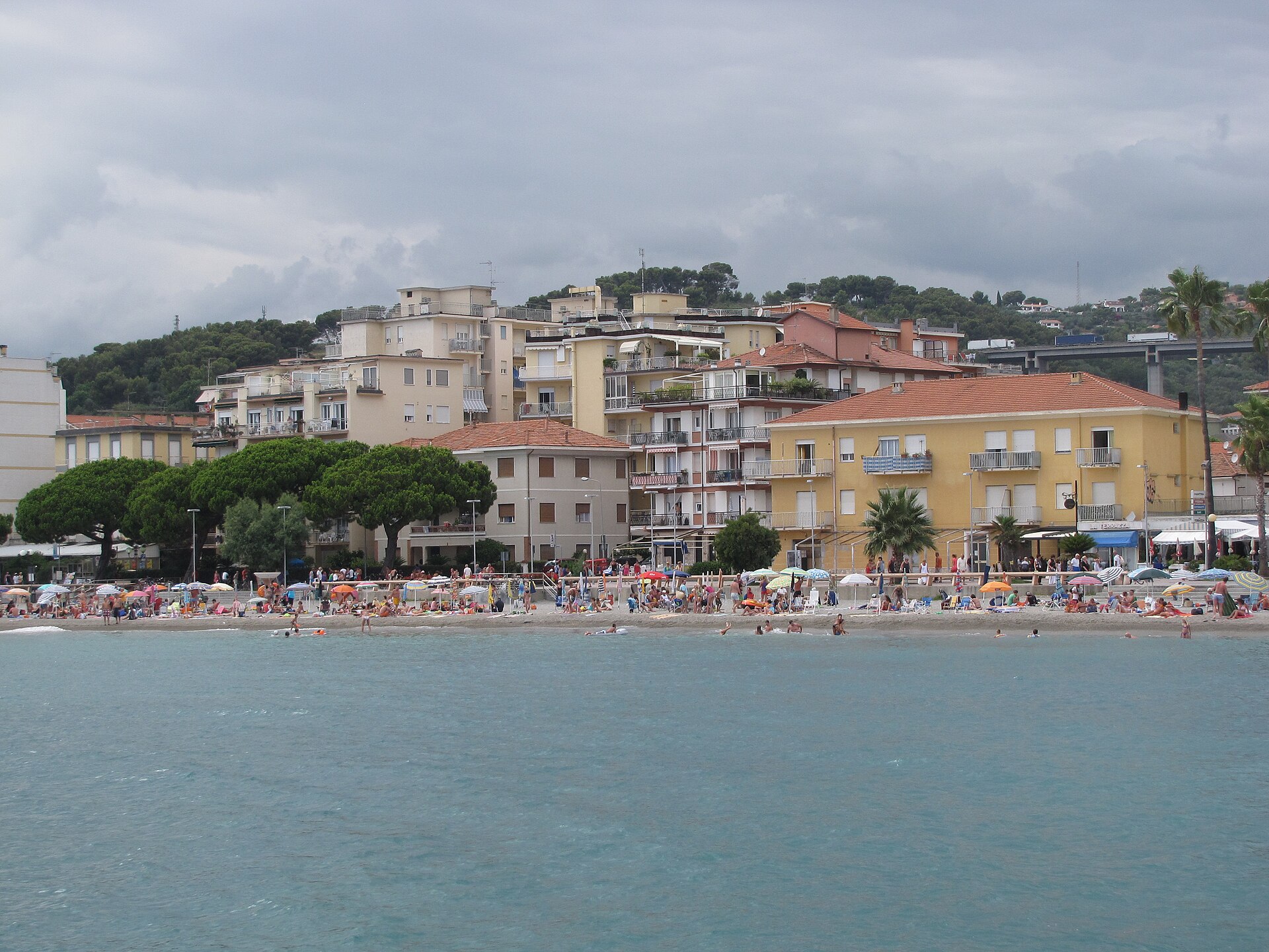
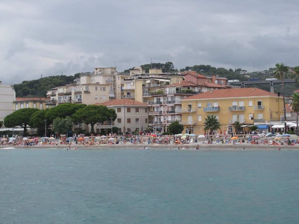
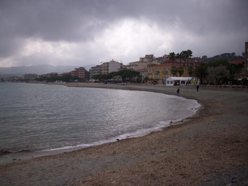
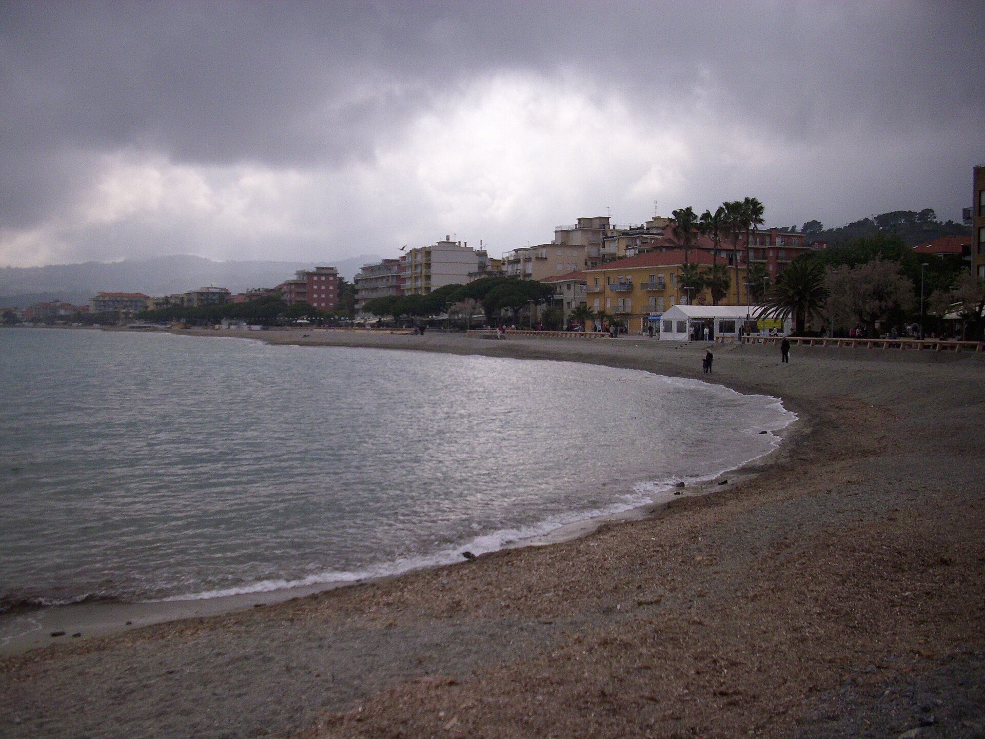
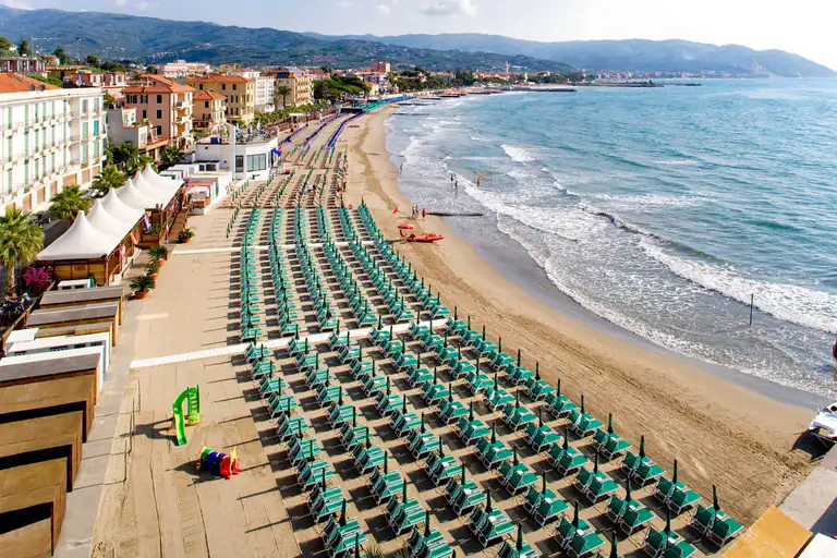
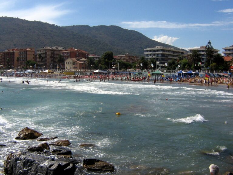
The beach is the seafront, about 1,270 metres long and almost entirely taken by bathing establishments: concession data show 33. The bed changes by stretch: sand, but also fine gravel. Sources disagree, so bring water shoes for stony spots. The sea is calm because it is protected by breakwaters.
Free beaches are few. Concession data show a short free pebble stretch on Via degli Aranci, but there is no official list of free beaches with names and positions: if you want one, arrive early and ask the IAT. The bathing season usually runs from June to September.
San Bartolomeo al Mare has no Blue Flag for 2026. The neighbouring Diano Marina and Andora do, and both are a short bike ride away: if the Blue Flag matters to you, use this town as a base and swim there. There is no official rule on dogs on the beach: ask the establishment or check the municipal order.
Where to stay
Where to stay in San Bartolomeo al Mare
You will find hotels, B&Bs, holiday homes, apartments, campsites and farm stays. A tourist tax exists in 2026: ask the property for the amounts. Choose the area by how you plan to get around:
Lungomare delle Nazioni and Via Colombo: on the seafront, near beach and gardens. For families and anyone who wants the beach at the door.
Piazza Aurora and Piazza Verdi: the centre, shops, the parish church and access to the cycle path.
Poiolo, La Rovere and the hinterland: farm stays among olive trees, quiet. You need a car or bike.
Towards Cervo: about 1 km away, with the cycle path at the door.
Compared with Diano Marina this town is smaller (about 2,900 people against about 5,500) and quieter; Diano has more services, the station and a Blue Flag. In Cervo you sleep in a medieval village but with less choice. For cycling and calm, San Bartolomeo is a good compromise.
Take the A10 Genoa–Ventimiglia motorway and leave at the San Bartolomeo al Mare toll gate; provincial road 34 then goes down to town, where you meet the Via Aurelia. It links Cervo with Diano Marina.
By train
San Bartolomeo has had no station since 2016. Get off at Diano, the nearest (about 2 km as the crow flies), or at Andora. From there reach town by bike on the cycle path or on foot. A direct bus from the station is not confirmed.
By bus
The coast is served by Riviera Trasporti. Line numbers and stops in San Bartolomeo are not confirmed: check timetables on the Riviera Trasporti website.
By air
The main airports are Nice and Genoa, both about 100 km away. From there continue by train to Diano or by car.
Parking
The town does not publish an official list of car parks. In summer finding a spot near the sea is hard: arrive early or leave the car outside the centre and walk. Fees and blue zones are not confirmed.
A10, San Bartolomeo al Mare exit, then SP 34 and Via Aurelia
By train
No station in town since 2016; the nearest is Diano (about 2 km), then cycle path or bus
By plane
Nice or Genoa (about 100 km), then train to Diano
The guide
Things to do in San Bartolomeo al Mare
By bike on the cycle path
The Diano Marina–Andora stretch is about 7 km long and is the best way to get to know the gulf. From Piazza Aurora you reach Cervo in a few minutes and Diano Marina in about a quarter of an hour; it is all flat, ideal with children or a road bike. Shade is scarce, so bring water and a hat. Best hours are early morning or late afternoon.
Mountain bike
The town has marked five MTB routes between the sea and Pizzo d’Evigno, meeting at Piazza Torre Santa Maria. They can be ridden all year and maps are at the IAT. Quick guide:
Green: 14.8 km, 484 m climb, easy (Chiappa, ridge, Parco del Ciapà)
Blue: 10.5 km, 439 m, medium (Cervo, Parco del Ciapà, Chicken Line)
Yellow: 8.5 km, 367 m, demanding (Poiolo, Ceppo Nero, Madonna della Rovere)
Purple: 25.7 km, 810 m, demanding (Capo Mimosa, Laigueglia, Andora Castle)
Red: 28.8 km, 1,123 m, demanding (Cervo, Conna, Andora)
The descent called Chicken Line, “Salto nel Blu”, needs care. More details and altitude profiles are on the municipal website.
On foot among olive groves and hamlets
Inland there are old mule tracks linking hamlets through the olive trees. There is no official walking route with times and distances: use the hamlets as goals and ask the IAT which tracks are passable. An easy idea is the climb from San Bartolomeo to La Rovere.
What to eat in San Bartolomeo al Mare
The area produces Taggiasca olives and extra virgin olive oil, tomatoes, trombetta courgettes, broad beans, artichokes, basil and aromatic herbs. At the table you find the cooking of the whole Western Riviera: focaccia, fish, Taggiasca oil. There is no dish that belongs only to San Bartolomeo, so be wary of anyone who claims one. In autumn there are food festivals with seasonal produce, such as the Castagnata.
Events in San Bartolomeo al Mare
February: Fiera della Candelora, traditionally on 2 and 3 February; the fair dates from the 17th century (in 2026 it ran 1–3 February).
June: flower carpets in Poiolo, usually around Corpus Domini.
July: Rovere d’Oro, concerts by young musicians on the sanctuary forecourt (in 2025 from 14 to 20 July).
August: patron saint’s festival (24 August); in 2026 the Notte dei Lumini in Mare was on Saturday 22 August on the Lungomare delle Nazioni.
September: San Matteo festival (11 September in 2026).
October: Castagnata with apple fritters, Sunday 18 October 2026, 3–8 pm, at the Campo Manifestazioni.
Dates change every year: check the calendar on the municipal website.
Day trips from San Bartolomeo al Mare
Cervo: just over a kilometre, the village with its castle and the church of the Corallini; on foot or by bike.
Diano Marina: about 3 km on the cycle path, with a 2026 Blue Flag, the civic museum and the station.
Andora: eastern end of the cycle path, also with a 2026 Blue Flag.
Imperia: 8–9 km away, with Oneglia and Porto Maurizio.
Patron saint's festival and Notte dei Lumini in Mare
San Matteo festival
Castagnata (chestnut fair)
IdealGoodPossibleOff season
Crowds:QuietFew peopleBusyVery busy
Gallery
Photos of San Bartolomeo al Mare
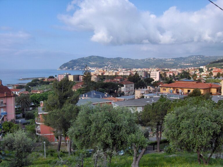
San Bartolomeo al Mare vista dal mareIl lungomare e la spiaggia di San Bartolomeo al MareLa passeggiata a mare di San Bartolomeo al MareLa spiaggia di San Bartolomeo al MareIl porto e il lungomare di San Bartolomeo al MareSan Bartolomeo al Mare vista dall'alto con il golfoI giardini di San Bartolomeo al Mare
FAQ
Frequently asked questions about San Bartolomeo al Mare
Is there a train station in San Bartolomeo al Mare?
No, it closed on 11 December 2016. The nearest is Diano, about 2 km away; there is also Andora.
Is the beach sand or pebbles?
It depends on the stretch: sand and fine gravel, with a few stony spots. Bring water shoes.
Does San Bartolomeo al Mare have a 2026 Blue Flag?
No. Diano Marina and Andora, the neighbouring towns, do.
How do I get to Cervo from San Bartolomeo?
On foot or by bike on the cycle path: just over a kilometre, flat.
Is it better to stay in Diano Marina or San Bartolomeo al Mare?
Diano has more services, the station and the Blue Flag; San Bartolomeo is smaller and quieter. The cycle path links them in about 15 minutes.
Where can I hire a bike?
A hire shop in San Bartolomeo is not confirmed. There is one in Diano Marina.
Is the cycle path flat? How long is it?
Yes, it is practically flat. The Diano Marina–Andora stretch is about 7 km, part of a cycle route of about 45 km.
When is the Fiera della Candelora?
Traditionally on 2 and 3 February. In 2026 it ran 1–3 February.
Can I take my dog to the beach?
There is no official indication. Ask the establishment and check the municipal order.
How long should I stay?
Half a day for the centre; 2–4 days if you also want bike, sea and day trips.