Riviera dei Fiori cycle path in Sanremo

Sanremo cycle path

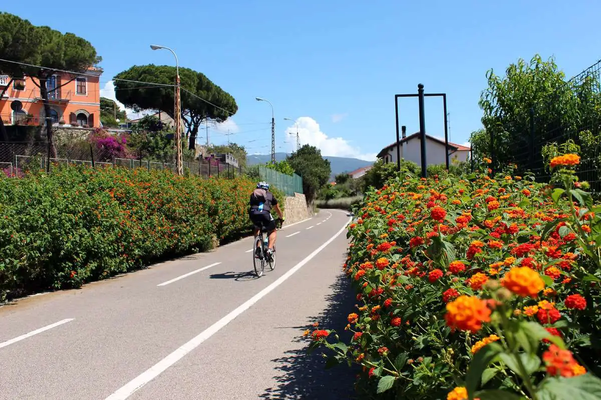
The Riviera dei Fiori cycle path crosses Sanremo on the old railway line: almost 48 km between Ospedaletti and Andora, with tunnels and bike hire.

Riviera dei Fiori cycle path in Sanremo
Length
almost 48 km between Ospedaletti and Andorasince 20 June 2026
In Sanremo
from Pian di Poma to Bussanavia the former station, Portosole and Tre Ponti
Surface
asphaltseparate cycle and pedestrian lanes
Difficulty
easyalmost entirely flat
Hire
bikes and rickshaws along the route
Access
open to all and free

The Riviera dei Fiori cycle and pedestrian path is one of the best ways to discover Sanremo. It runs along the old seaside route of the Genoa–Ventimiglia railway, closed in 2001 when the trains were moved to the new line in tunnels, and crosses the whole town, from Pian di Poma in the west to Bussana in the east. Since June 2026 the route has been continuous for almost 48 kilometres between Ospedaletti and Andora.

The route through Sanremo

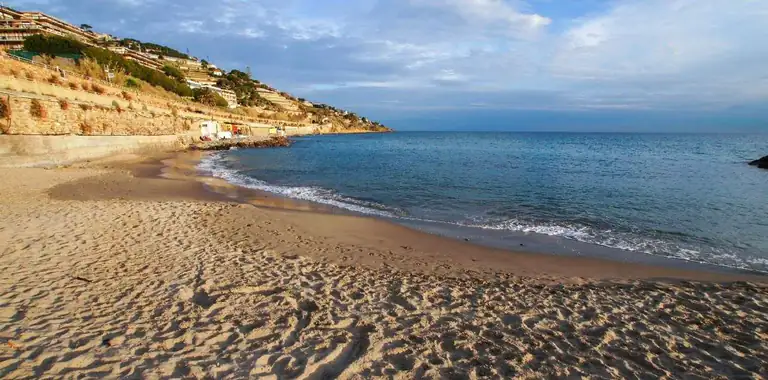
The town section follows the sea almost without a break. In the west, from Pian di Poma, the path runs alongside the beaches and reaches piazza Cesare Battisti, where the old station stood. It then continues past the Porto Vecchio and Portosole and, to the east, runs above Tre Ponti beach as far as Baia Capo Pino and Bussana. Along the way there are lit tunnels and old stations converted into refreshment stops.

Beyond Sanremo

To the west the path reaches Ospedaletti. To the east it continues towards Arma di Taggia, Riva Ligure, Santo Stefano al Mare and San Lorenzo al Mare, and since 20 June 2026, with the opening of the section between Imperia and Diano Marina, you can ride all the way to Andora without a break. It is part of the Ciclovia Tirrenica.

Tips

  • In summer, ride early in the morning or late in the afternoon: the path gets very busy.
  • Keep out of the pedestrian lane and slow down in the town sections.
  • Bring your swimsuit: there are many beaches along the way, including the Blue Flag ones. You will find them all in the guide to the beaches of Sanremo.
  • To park near the path, piazza Cesare Battisti is open 24 hours a day.

Where it is

Sanremo cycle path is in Sanremo (Riviera di Ponente, Riviera dei Fiori).

Map: where Sanremo cycle path is in LiguriaPIEDMONTLOMBARDYEMILIA-ROMAGNATUSCANYFRANCERIVIERA DI PONENTERIVIERA DI LEVANTELIGURIAN SEASavonaImperiaLa SpeziaSanremo cycle path
Boundaries: ISTAT, Natural Earth · Interactive map →

FAQ

Frequently asked questions about the Sanremo cycle path

How long is the Riviera dei Fiori cycle path?

Since 20 June 2026 it has been continuous for almost 48 kilometres between Ospedaletti and Andora.

Where can you hire bikes in Sanremo?

There are several hire points along the route renting bikes and rickshaws by the hour, half day or full day.

Is the cycle path suitable for children?

Yes, it is almost entirely flat, separated from traffic and has separate lanes for bikes and pedestrians.

Where to stay

Where to stay in Sanremo

All places to stay in Sanremo on Booking: compare prices and availability.
Nearby

More to see in Sanremo
Riviera di Ponente › Riviera dei Fiori

Sanremo

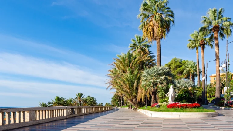
The town of the Festival and flowers: La Pigna, the Liberty-style Casino, the Russian Church, the Passeggiata Imperatrice, Blue Flag…

Discover →

Guide

Beaches in Sanremo

Sanremo's beaches from Pian di Poma to Bussana: the five 2026 Blue Flag stretches, the dog beach, free beaches and…

Discover →

Villas and historic houses

Casino of Sanremo

The Casino of Sanremo, a 1905 Liberty-style masterpiece: opening hours, free entry for over-18s, dress code, history and its link…

Discover →
Castles and fortresses

Fort of Santa Tecla

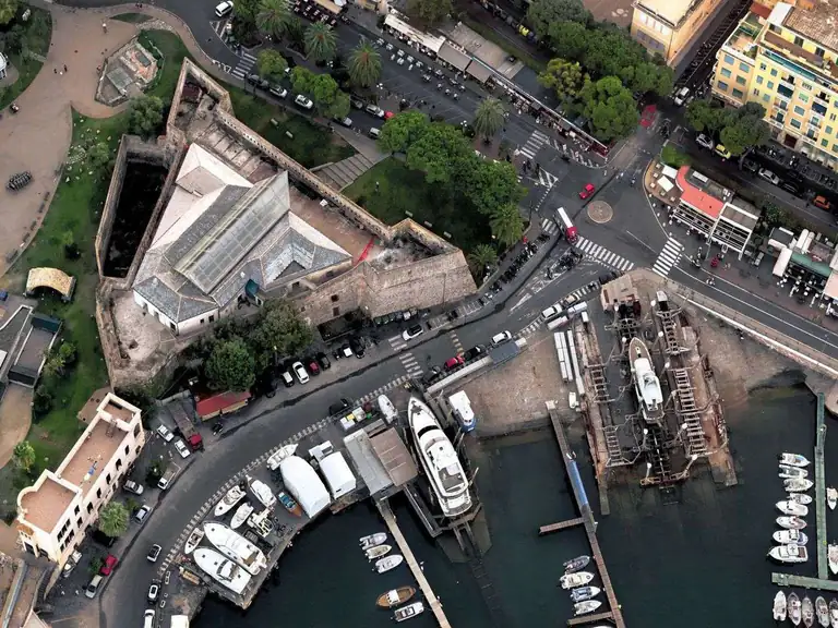
The Forte di Santa Tecla, an 18th-century Genoese fortress on Sanremo's harbour and former prison, reopened on 2 July 2026…

Discover →
Villages and old towns

La Pigna

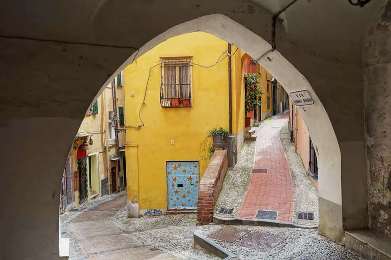
La Pigna is Sanremo's medieval old town: alleys, arches and stairways climbing up to the Regina Elena Gardens and the…

Discover →
Scroll to Top