Bergeggi Island in the blue sea

Bergeggi

Island and Marine Protected Area, sea cave, Blue Flag beaches, snorkelling, kayaking and clifftop trails between Savona and Spotorno.

Bergeggi Island in the blue sea
Area
Riviera delle PalmeRiviera di Ponente · Province of Savona
Ideal for
Snorkelling, kayaking and protected seacouples, families and anyone after peace
Beaches
Pebbles and coarse sand between cliffsVillaggio del Sole and Il Faro Blue Flag 2026
Best time to go
June to September for sea and snorkellingspring and autumn for the trails
By train
No station: train to Savona, then TPL Linea buscombined train + bus ticket
By car
A10Spotorno exit, then the Via Aurelia towards Savona for a few km
Airport
Genoaabout 55 km), under an hour by car
How long to stay
One beach day2–3 days as a base for Noli and Finale

Welcome to Bergeggi

The island and the sea caves

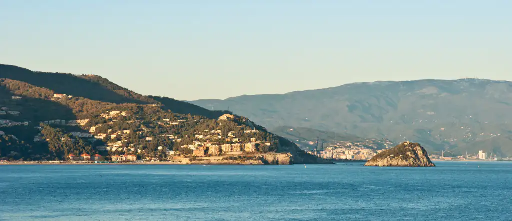
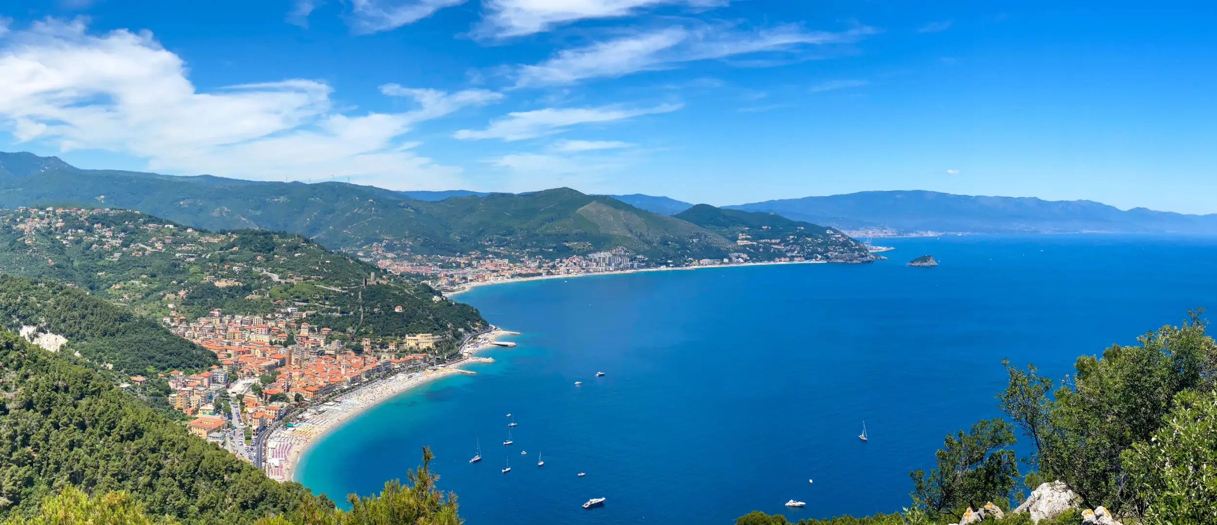
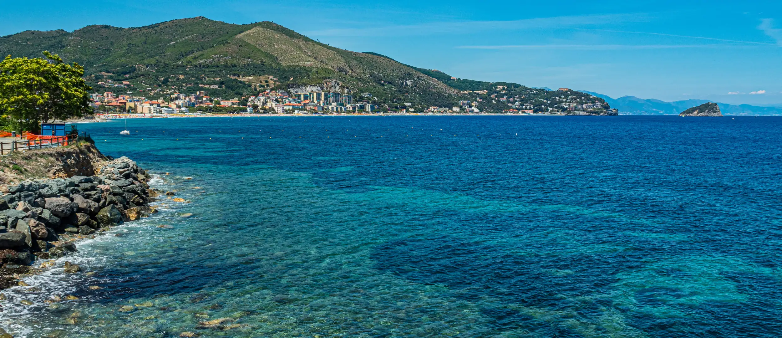
Bergeggi is a small town on the Riviera delle Palme, between Vado Ligure and Spotorno, about 10 km west of Savona and roughly an hour’s drive from Genoa. It has just over a thousand residents and two sides: the old village, about 110 metres above the sea on the slopes of Monte Sant’Elena, and the coast below the Via Aurelia, with its beaches, the seaside district of Torre del Mare and, just offshore, the island everyone photographs.

You come here for the sea. The island, the facing coast and the Grotta Marina have been a regional nature reserve since 1985 and a Marine Protected Area since 2007: seagrass meadows, white limestone cliffs, clear water and clear rules on where you can swim and where boats can go. In 2026 two of the town’s beaches, Villaggio del Sole and Il Faro, hold the Blue Flag.

Bergeggi has no train station and no seafront promenade. It is a place to be in the water: snorkelling, paddling round the island by kayak and walking the trails above the village. It works as a beach day from Genoa or Savona, or as a quiet base for this part of the Ligurian coast, far from the crowds of the Cinque Terre and Portofino.

Where is Bergeggi?

Bergeggi is in Liguria (Riviera di Ponente, Riviera delle Palme, province of Savona).

Map: where Bergeggi is in LiguriaPIEDMONTLOMBARDYEMILIA-ROMAGNATUSCANYFRANCERIVIERA DI PONENTERIVIERA DI LEVANTELIGURIAN SEASavonaImperiaSanremoLa SpeziaBergeggi
Boundaries: ISTAT, Natural Earth · Interactive map →

What to see

What to see in Bergeggi

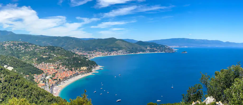
Bergeggi coastline from above

The sights are few but varied: the island and the sea cave from the water, the beaches, the old village with its towers, and the trails on Monte Sant’Elena. In one day you can swim in the morning and walk up to the village in the late afternoon, when it is cooler.

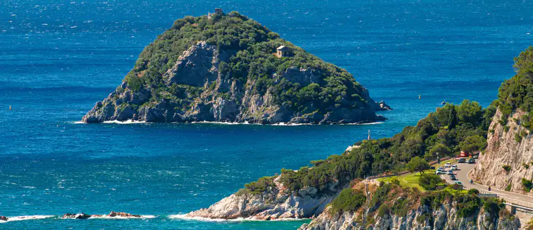
Bergeggi Island seen from the coast

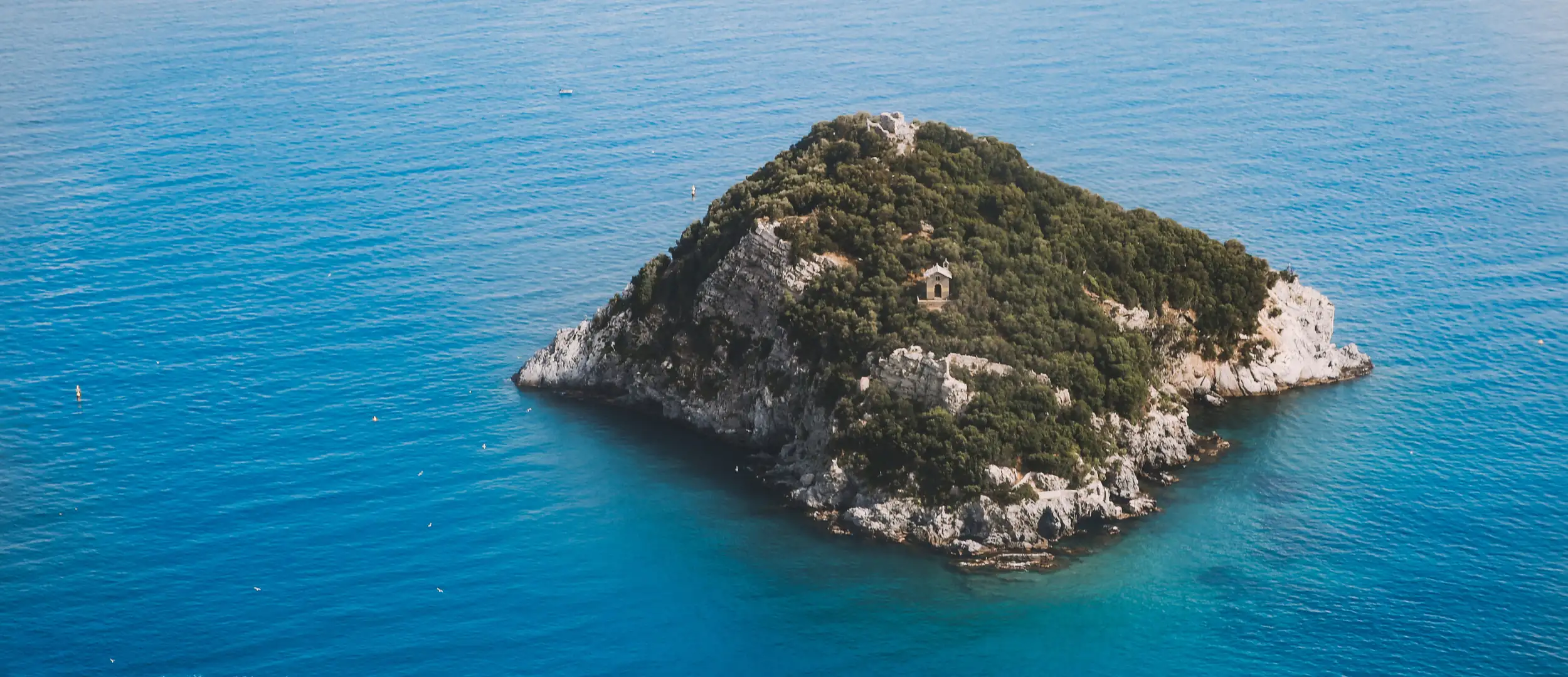
Bergeggi Island

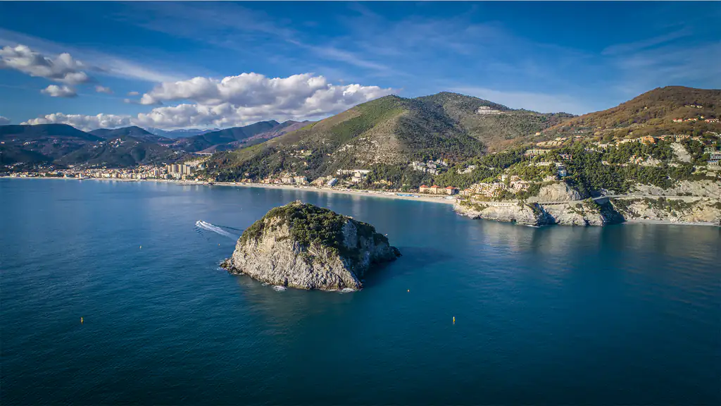
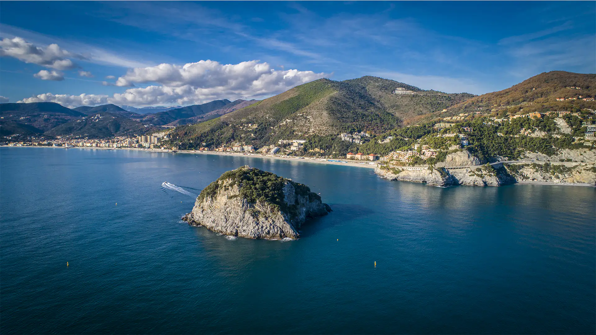
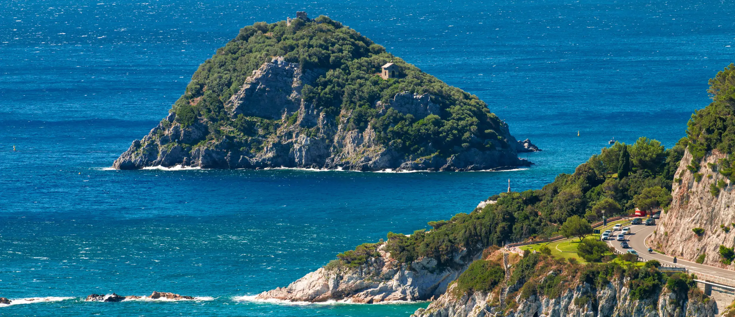
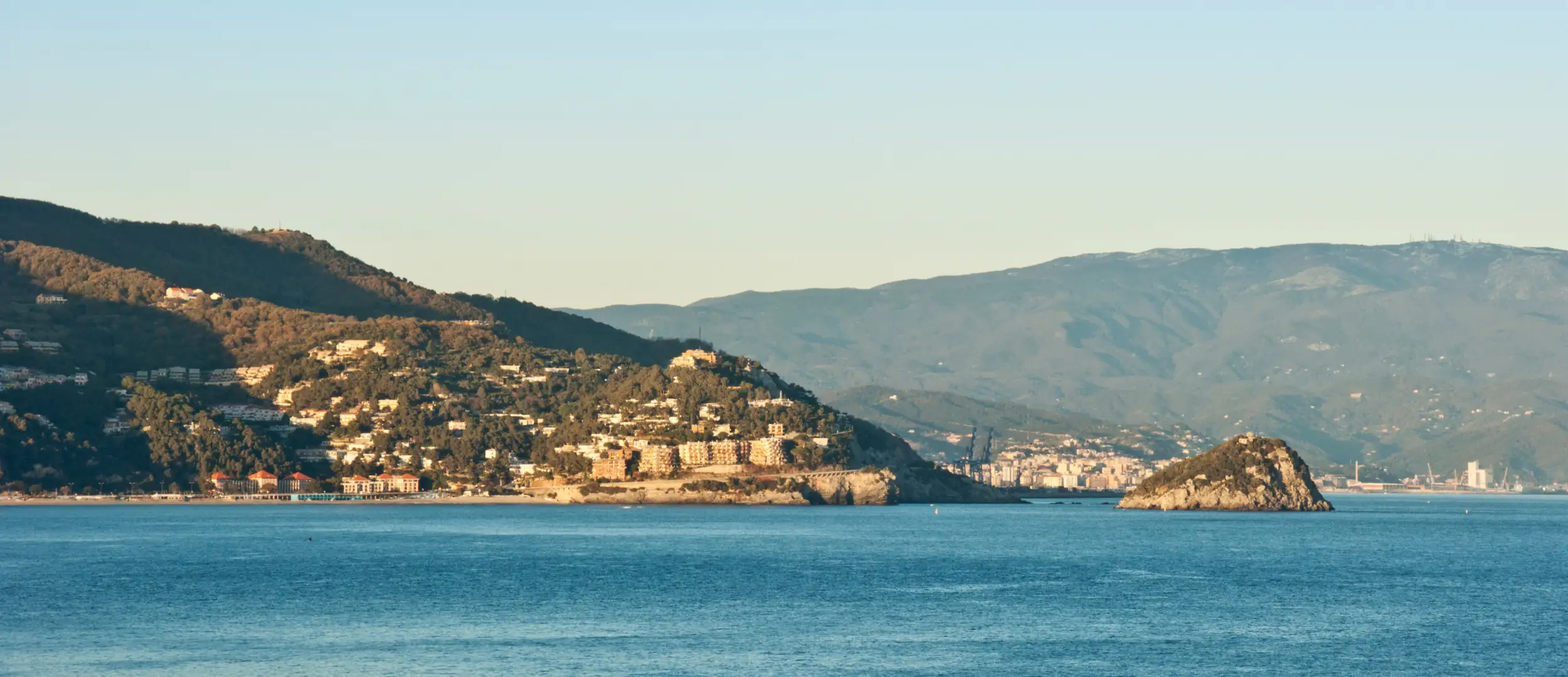
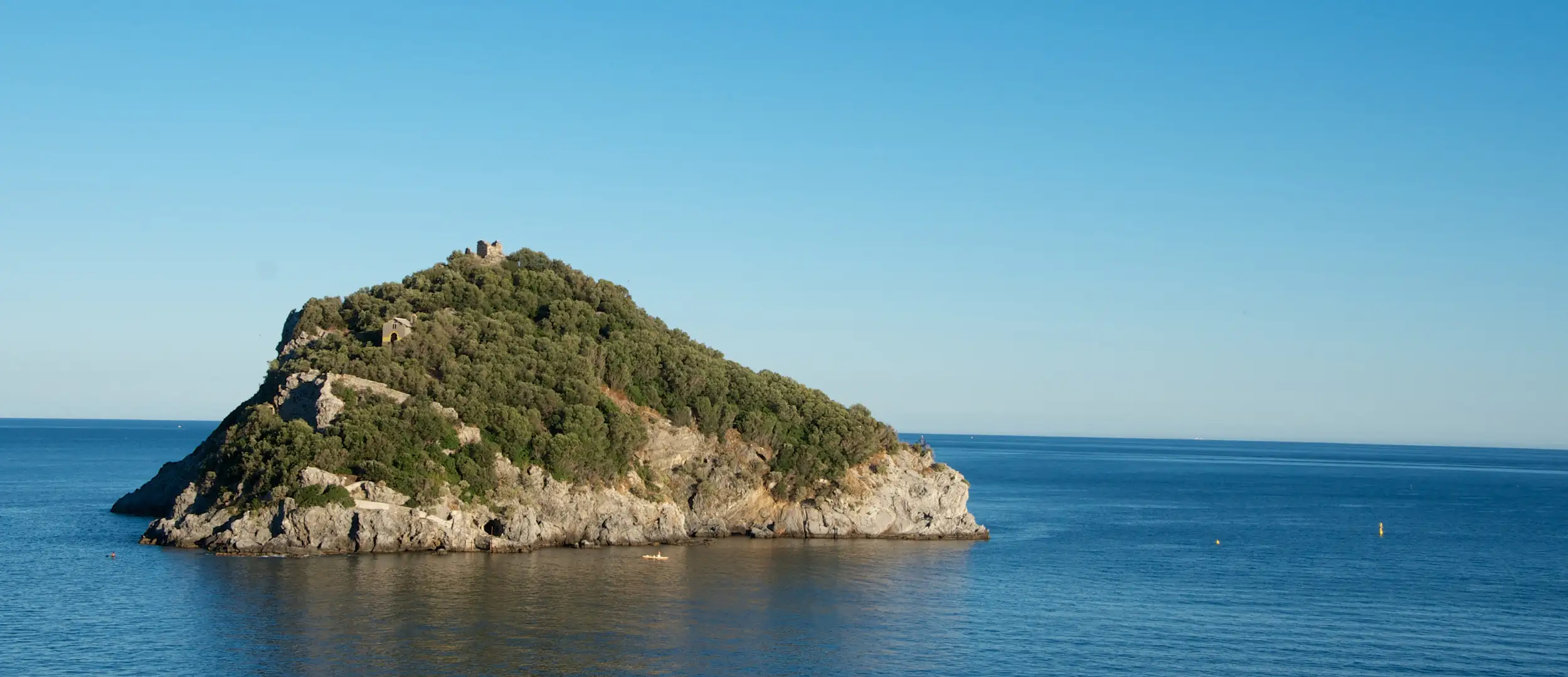
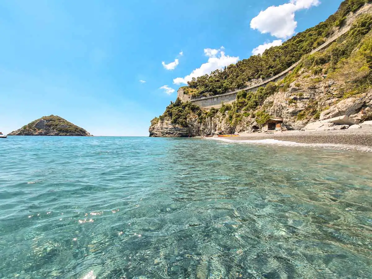
This limestone rock, 53 metres high and covered in Mediterranean scrub, lies just over 200 metres off Punta Predani. In Roman times a round tower stood on the summit, probably a lighthouse for ships heading to Vada Sabatia, today’s Vado Ligure; its ruins are still there. In 992 the bishop of Savona founded a monastery here dedicated to Saint Eugene and entrusted it to monks from Lérins, near Cannes. Only stretches of wall remain.

Landing on the island is not allowed: you see it from the shore, by kayak, by boat or while swimming in the permitted zones. Rules, zones and tips are in our guide to Bergeggi Island and the Marine Protected Area.
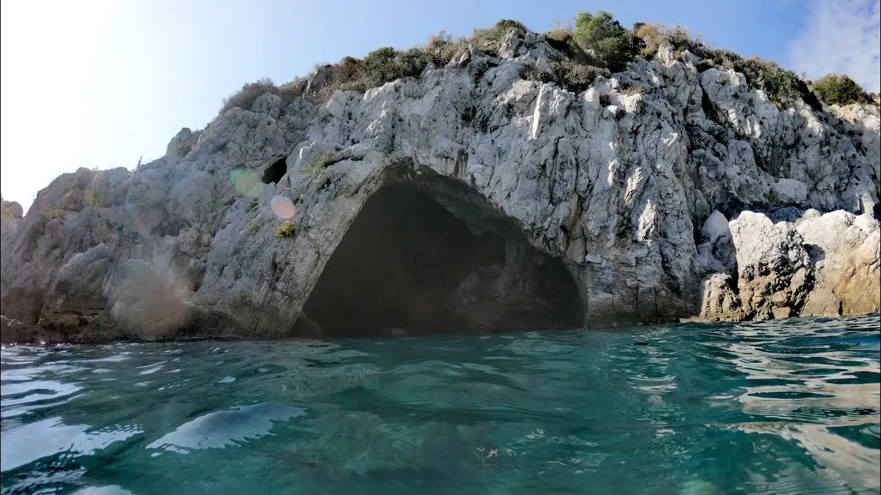
Sea cave at Bergeggi

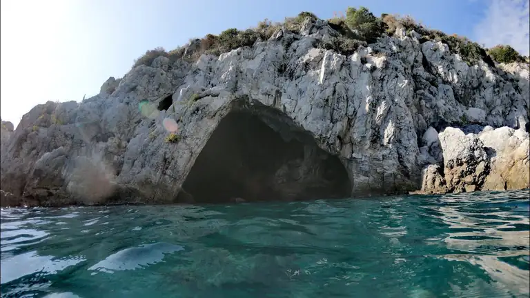
Grotta Marina (sea cave)

The cave opens in the cliff right below the Via Aurelia and is considered the largest sea-flooded cave in Liguria. Above water there is a large chamber where the sea flows in; below, it continues with tunnels, chambers and brackish pools. Neolithic finds show it was used both as a shelter and as a burial place.

You can only visit from the sea, by kayak or on a guided trip, and only when the sea is calm. Access is regulated by the Marine Protected Area: check the latest information on the Bergeggi Island MPA website before you go.

Punta Predani

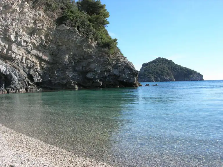
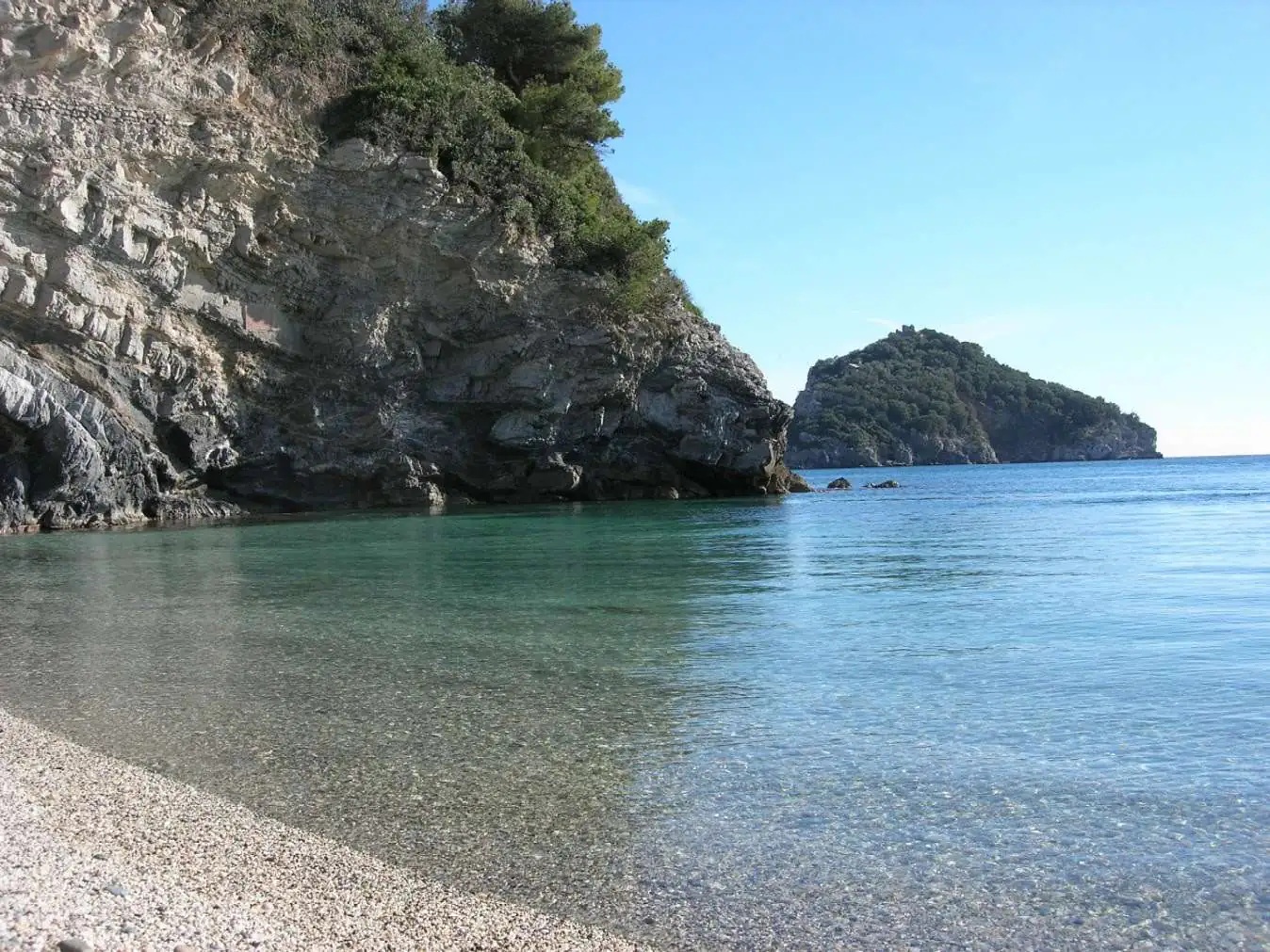
The headland facing the island is where it looks closest. Below is a small pebble cove reached on foot by a moderately steep path: clear water, rock and sand on the bottom, good for snorkelling. The sea in front is Zone B of the protected area, so swimming is allowed.

Torre del Mare

The seaside district grew up as a holiday resort between the 1950s and 1970s. Today it has most of the holiday flats, beach clubs and services. The cliff at Torre del Mare gives one of the best views of the island and is the place to check sea conditions before you rent a kayak.

The old village

The old village clusters around the church, with low houses, small squares and views over the Gulf of Vado. It is not as picturesque as Noli or Finalborgo, but it is quiet and you can walk round it in half an hour.

Church of San Martino

The parish church of Saint Martin of Tours, the town’s patron saint, was built in 1706. Inside are a 16th-century painting of the Madonna of the Rosary and a crucifix attributed to Anton Maria Maragliano, the great Genoese woodcarver. The patron’s feast day is 11 November.

Torre d'Ere and Torre Rovere

These 15th-century watchtowers date from the time when the coast defended itself against raids from the sea. Torre d’Ere gives its name to the square where the botanical trail starts; Torre Rovere is another of the area’s fortified points. You see both from outside.

Monte Sant'Elena fort and the Castellaro

On top of Monte Sant’Elena, 347 metres, parts of the fort that once guarded the village survive. It is a viewpoint over the whole gulf and a take-off point for paragliders. Nearby, the Castellaro archaeological area has remains of a settlement of the ancient Ligurians, before the Romans.

Sea

Beaches in Bergeggi

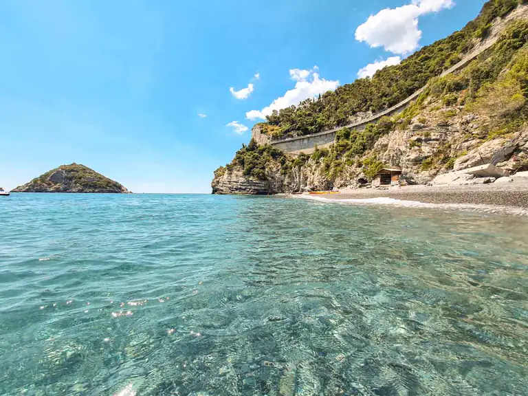
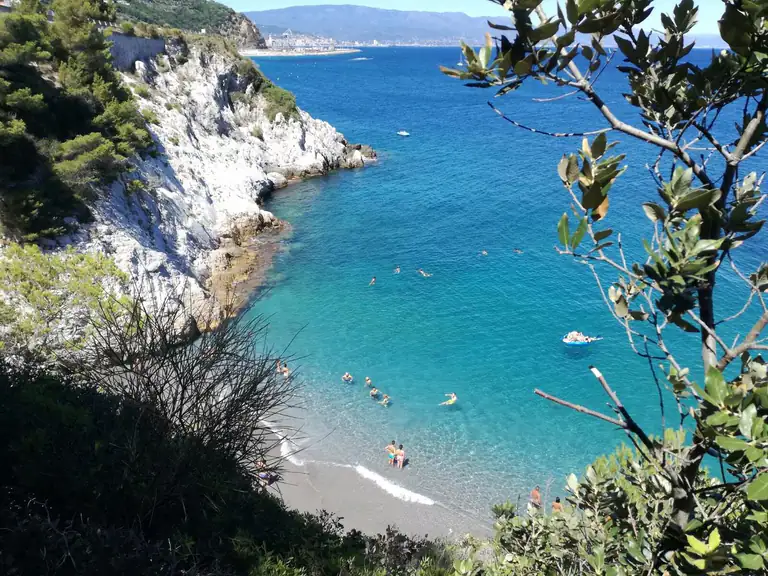
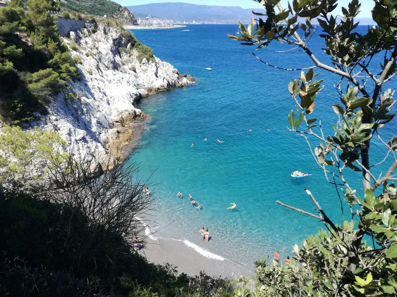
The beaches are small, with coarse sand and pebbles, tucked between white cliffs. In summer, beach clubs alternate with free stretches; free spots fill up early, especially at weekends. Bring water shoes.

Bergeggi beach with its white cliffs

Villaggio del Sole and Il Faro

Pebbles

These are the town’s two Blue Flag beaches for 2026. Il Faro, towards Torre del Mare, has pebbles and a rocky seabed: you wade in with water shoes and can snorkel a few metres from the shore.

Spiaggia delle Sirene in Bergeggi with the island in the background

Lido delle Sirene

SandPebblesBeach clubsFamily friendly

Sand and pebbles, a gently shelving seabed and a direct view of the island. It is easy to reach from the Via Aurelia and has beach clubs, making it the most practical choice for families with children.

Bergeggi beach and cliffs

Coves and cliffs

Along the protected coast there are rocky coves you can only reach from the sea or by demanding paths. If you arrive by kayak, remember that the sea off the south side of the island is Zone A: swimming is forbidden there.

Bergeggi Island in the protected marine area

Where to stay

Where to stay in Bergeggi

Accommodation is limited and mostly by the sea, especially in Torre del Mare: holiday flats, a few hotels and B&Bs. Staying here makes sense if you want a quiet base close to the water and plan to kayak or snorkel early, before the heat and the crowds. For July and August, book well ahead.

The old village is quieter and has the view, but you need a car or a good walk to reach the sea. If you want more choice, restaurants and evening life, stay in Spotorno or Noli and come to Bergeggi for the day: it is only a few minutes by road.

Getting there

How to get to Bergeggi

By car

Take the A10 Genoa–Ventimiglia motorway and exit at Spotorno, then follow the Via Aurelia towards Savona for a few kilometres. Coming from Genoa you can also exit at Savona-Vado and follow the Aurelia west through Vado Ligure.

By train

Bergeggi has no station. The nearest are Savona and Spotorno-Noli, on the Genoa–Ventimiglia line, with regional trains from Genoa. From Savona continue by bus.

By bus

TPL Linea buses connect Savona station with Bergeggi and Torre del Mare. On Trenitalia you can buy a single train + bus ticket by choosing Bergeggi or Torre del Mare as your destination. Timetables are on the TPL Linea website.

By plane

The nearest airport is Genoa, about 55 km away: under an hour by car on the A10. Nice Côte d’Azur is about 150 km away.

Parking

In summer, parking is the main headache. Parking along the Via Aurelia and near the beaches is paid and run by the company SAT, which also sells season passes. On July and August weekends arrive by 9–10 am or come by train and bus. Some beach clubs have parking for guests: ask when you book.

By car

A10, Spotorno exit, then the Via Aurelia towards Savona for a few km

By train

No station: train to Savona, then TPL Linea bus (combined train + bus ticket)

By plane

Genoa (about 55 km), under an hour by car

The guide

Things to do in Bergeggi

  • Snorkelling: allowed in Zones B and C of the protected area, with a diver’s surface marker buoy. Punta Predani and the water around the island are the best spots.
  • Sentiero Blu: a 2.5 km sea trail marked by 27 buoys, reserved for swimming, snorkelling, kayaking and SUP. It runs from May to the end of September and motorboats cannot enter.
  • Kayak and SUP: paddling round the island is the classic outing. Rent from a beach club or join a guided tour from Bergeggi or Spotorno.
  • Diving: only with dive centres authorised by the protected area; in Zone A dives are guided and numbers are limited.
  • Paragliding: the area of the Sant’Elena fort is used as a launch site.

Walks and hikes

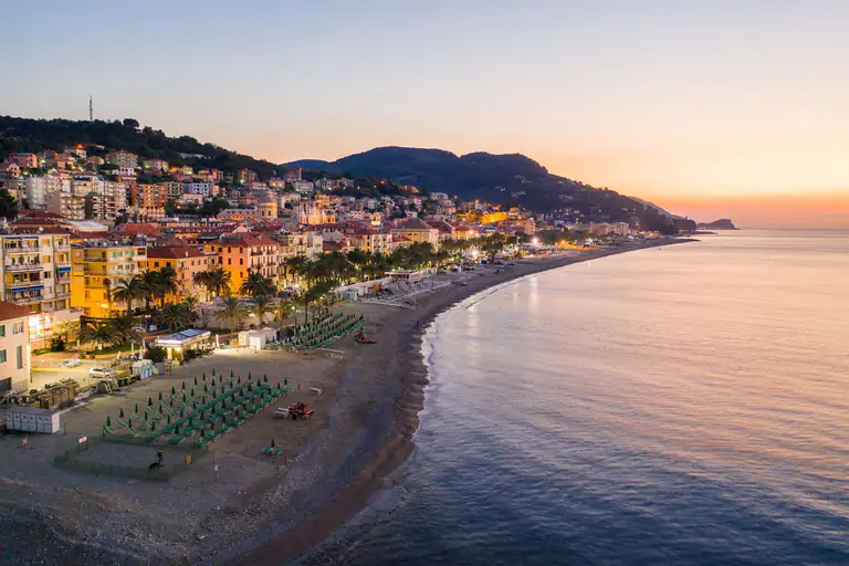
Bergeggi coastline and bay at sunset

Above the village a waymarked network of trails, for walking or mountain biking, links Bergeggi with Spotorno, Vado Ligure, Vezzi Portio and the hinterland of Finale. The trail map is on the protected area’s website.

  • Botanical trail: a loop of about 6 km from piazza Torre d’Ere, just over two hours, with information panels and picnic tables. In places the path is faint: follow the waymarks on the trees.
  • Monte Sant’Elena: climb to the fort and the Castellaro for views over the gulf and the island.
  • Towards Spotorno: a coastal path high above the sea, through scrub and past small coves. Start early in summer: there is little shade.

Day trips from Bergeggi

  • Spotorno (about 4 km): long beach and a seafront town, the nearest neighbour.
  • Noli (about 8 km): a former maritime republic with medieval towers and alleys.
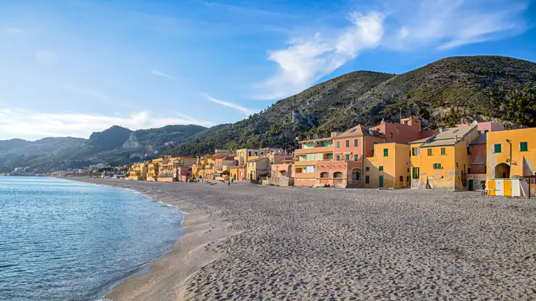
  • Varigotti: the fishing village with coloured houses on the beach, just past Noli.
  • Finale Ligure and Finalborgo (about 18 km): beaches, rock climbing, mountain biking and the walled village.
  • Savona (about 10 km): the Priamar fortress, the port and the old town; also the nearest main railway station.
  • Celle Ligure and Varazze: seaside towns beyond Savona, on the way to Genoa.

Weather

Weather and best time to visit Bergeggi

June to September for sea and snorkelling; spring and autumn for the trails

⛅
18°CNow · wind 25 km/h
  1. Fri 9🌦️22° 15° 
  2. Sat 10⛅22° 14° 
  3. Sun 11⛅22° 14° 
  4. Mon 12☀️22° 15° 
  5. Tue 13☀️23° 15° 
  6. Wed 14☁️22° 15° 

Forecast: MET Norway (Yr), CC BY 4.0 licence. Updated hourly.

Weather across Liguria →

MonthJanFebMarAprMayJunJulAugSepOctNovDec
SeaOff seasonOff seasonOff seasonPossibleGoodIdealIdealIdealIdealPossibleOff seasonOff season
Sightseeing and hikingPossiblePossibleGoodGoodIdealIdealIdealIdealIdealGoodPossiblePossible
CrowdsQuietQuietQuietFew peopleFew peopleBusyVery busyVery busyBusyFew peopleQuietQuiet
Don't missSan Martino

IdealGoodPossibleOff season

Crowds:QuietFew peopleBusyVery busy

Gallery

Photos of Bergeggi

FAQ

Frequently asked questions about Bergeggi

Can you land on Bergeggi Island?

No. The island is part of the nature reserve and the Marine Protected Area: you can go round it by kayak or boat, but you cannot go ashore.

Can you swim near the island?

Yes, in Zones B and C, around the island and off Punta Predani. In Zone A, the sea off the island’s south side, swimming is forbidden.

How do you visit the Grotta Marina?

Only from the sea, by kayak or on a guided trip, and only in calm conditions. Access is regulated by the Marine Protected Area.
Which are the best beaches in Bergeggi?

Villaggio del Sole and Il Faro, with the 2026 Blue Flag; Lido delle Sirene for the view of the island; the cove at Punta Predani for snorkelling.

What is the Sentiero Blu?

A 2.5 km sea trail marked by 27 buoys for swimming, snorkelling, kayaking and SUP. It is open from May to the end of September and closed to motorboats.

Does Bergeggi have a train station?

No. Get off at Savona and take the TPL Linea bus to Bergeggi or Torre del Mare, also with a combined train + bus ticket.

Where can you park in Bergeggi in summer?

In the paid car parks along the Via Aurelia and near the beaches. On summer weekends, arrive early in the morning.

How far is Bergeggi from Genoa?

About 50 km along the A10 motorway, under an hour by car, or around an hour by regional train to Savona plus a short bus ride.

When is the best time to visit Bergeggi?

June and September: warm sea, the Sentiero Blu open and fewer people. July and August are the busiest months; spring and autumn are ideal for the trails.

Nearby

What to see near Bergeggi

5 km as the crow flies

Noli

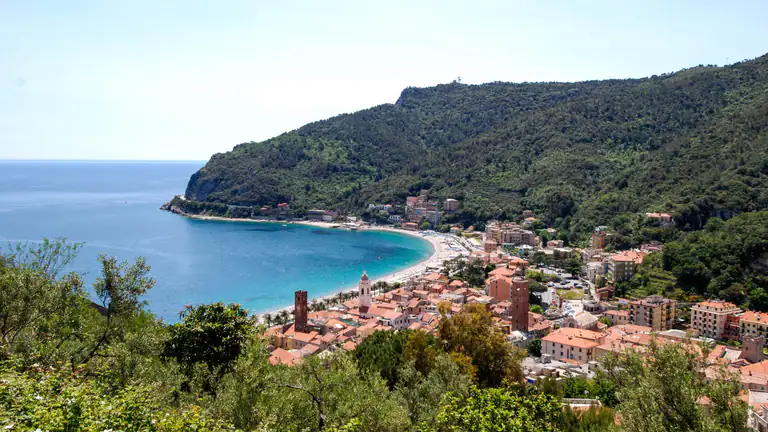
The old maritime republic between Spotorno and Capo Noli: medieval towers, San Paragorio, Monte Ursino castle, a fishermen's beach and…

Discover →

7 km as the crow flies

Savona

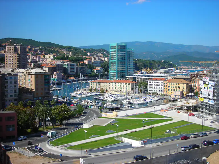
Priamar Fortress, the Torretta, the Sistine Chapel and the old harbour: a walkable cruise-port city with white farinata and chinotto.

Discover →

8 km as the crow flies

Varigotti

The Saracen village near Finale Ligure: coloured houses on the beach, Punta Crena and its Byzantine fort, the Baia dei…

Discover →

12 km as the crow flies

Finale Ligure

Finalmarina, Finalborgo, Finalpia and Varigotti: Blue Flag beaches, Del Carretto castles, 200+ MTB trails and 4,000 climbing routes.

Discover →
Scroll to Top